The "Baiersbronner Seensteig" is a premium long distance hiking trail within the "Black Forest National Park" in the south west of Germany. It was voted as one of the most beautiful hiking trails by the German Hiking Association. Officially the route consists of five stages, some with extra lead ins from the public transport stations to reach the actual course.
On the Seensteig, hikers encounter many special features and touristic highlights of the Black Forest at once:
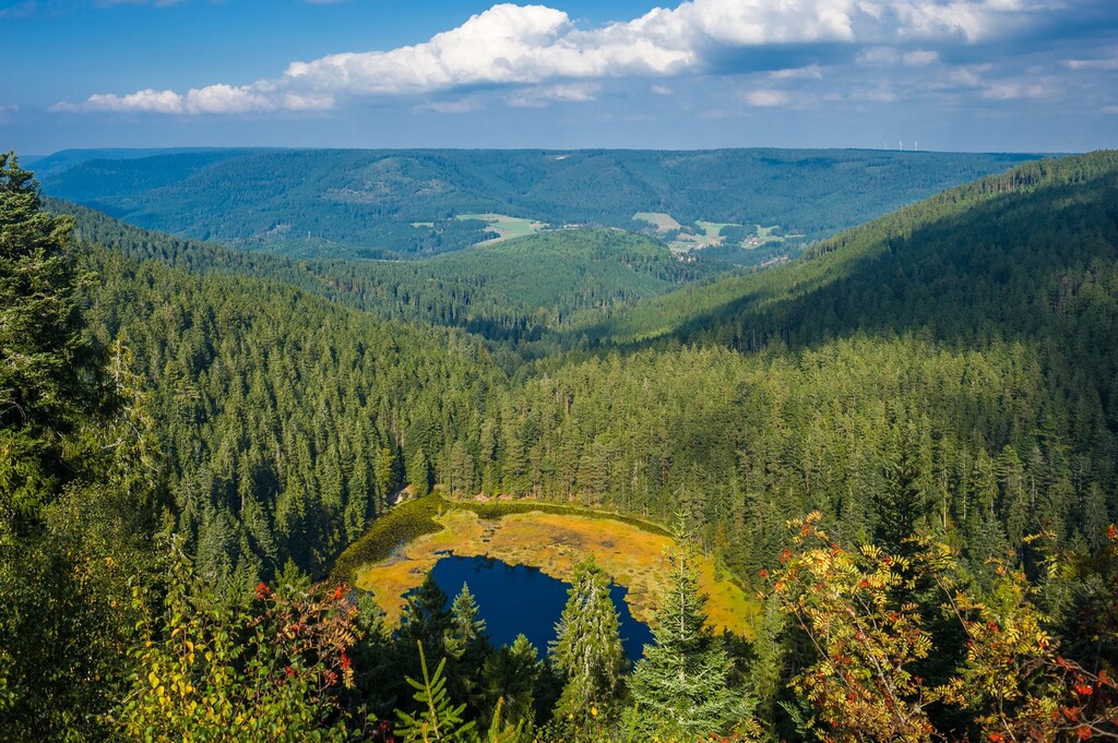
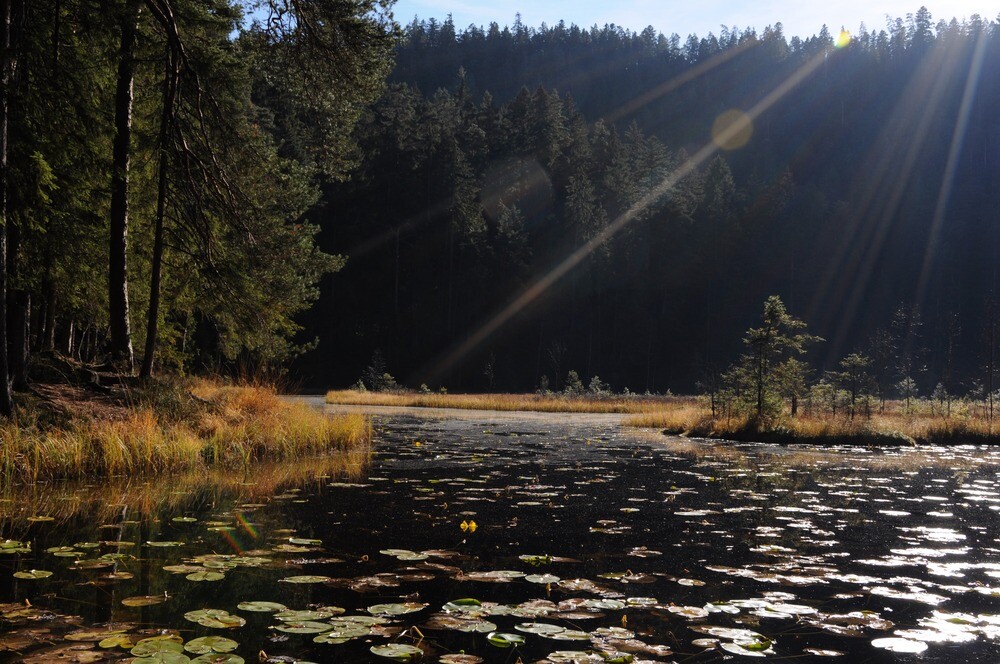
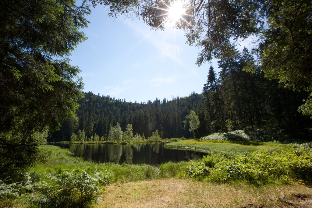
- most important, you come along all seven cirque lakes of the northern Black Forest that give the route it's name (Sankenbachsee, Ellbachsee, Buhlbachsee, Wildsee, Mummelsee, Schurmsee, Huzenbacher See)
- you walk through a wide variety of forest forms such as mixed and protected forests
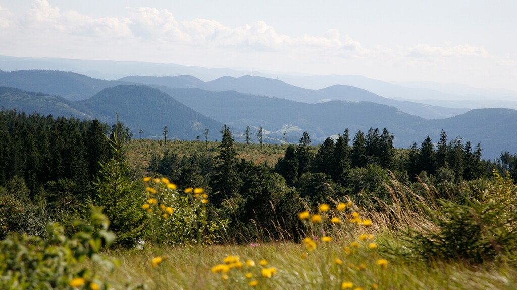
- the climb to the highest peak of the northern Black Forest (Hornisgrinde 1163m) is included as well
- du to the fact that you are travelling most of the time 800m or even 1000m above sea level with it's alpin terrain and rough single trails makes this route to one of the toughest if not the hardest long distance trail in the region
Regarding the distance, there can be found different numbers in the internet.
The official page of the Schwarzwald Tourism weg page states the length with 89,3 kilometers (without the lead ins).
https://www.schwarzwald-tourismus.info/touren/baiersbronner-seensteig-5d8e463f6f
The total length with lead ins is mentioned as 91 km.
Although the GPX-Track they provide on the same page has only a lentgh of ~86,3 km including the lead ins, i highly doubt the accuracy of this track.
We were running this route last saturday, recording with a new Garmin Fenix 6 in standard GPS mode and logged 92km (removing around 2k from extra effort we had because of wrong turns and to reach a pizzeria, i can confirm that the 89,3k is the correct distance and should be used as basis for the FKT).
Another distance that can be found is the "Westweg variant" with 87.7 km. This variant skips some of the difficult trails and provides shortcuts on gravel roads.
For the FKT of this route i propose to ignore this variant,
- runners must take the "wild variants" always
- also close the loop completely
- lead ins are not required
Here the offical route page on Outdooractive:
https://www.outdooractive.com/de/route/fernwanderweg/baiersbronner-seensteig/4186167/