“It may be one of the most difficult 100 mile adventures in the United States” - Kristina Folcik
Description: The White Mountains 100 is the 100 miles of Appalachian Trail running between Rt. 2 in Gorham, NH and Rt. 25 in Glencliff, NH. Regarded by Appalachian Trail thru-hikers as both the most rugged and most beautiful section of the Appalachian Trail, the White Mountains provide a big mountain experience that is unique on the east coast only to the Whites. There is substantial infrastructure and support available along this route, including seven Appalachian Mountain Club (AMC) high huts, the AMC Joe Dodge Lodge in Pinkham Notch, and the Mount Washington Observatory. Big picture, the White Mountains 100 traverses four major ridgelines: Kinsman Ridge, Franconia Ridge, the Presidential Range, and the Carter-Moriah Range. The route directly summits 14 of New Hampshire’s 48 4,000 footers and comes within spitting distance (<1 mile) of the summits of at least 11 others.
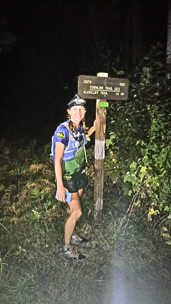
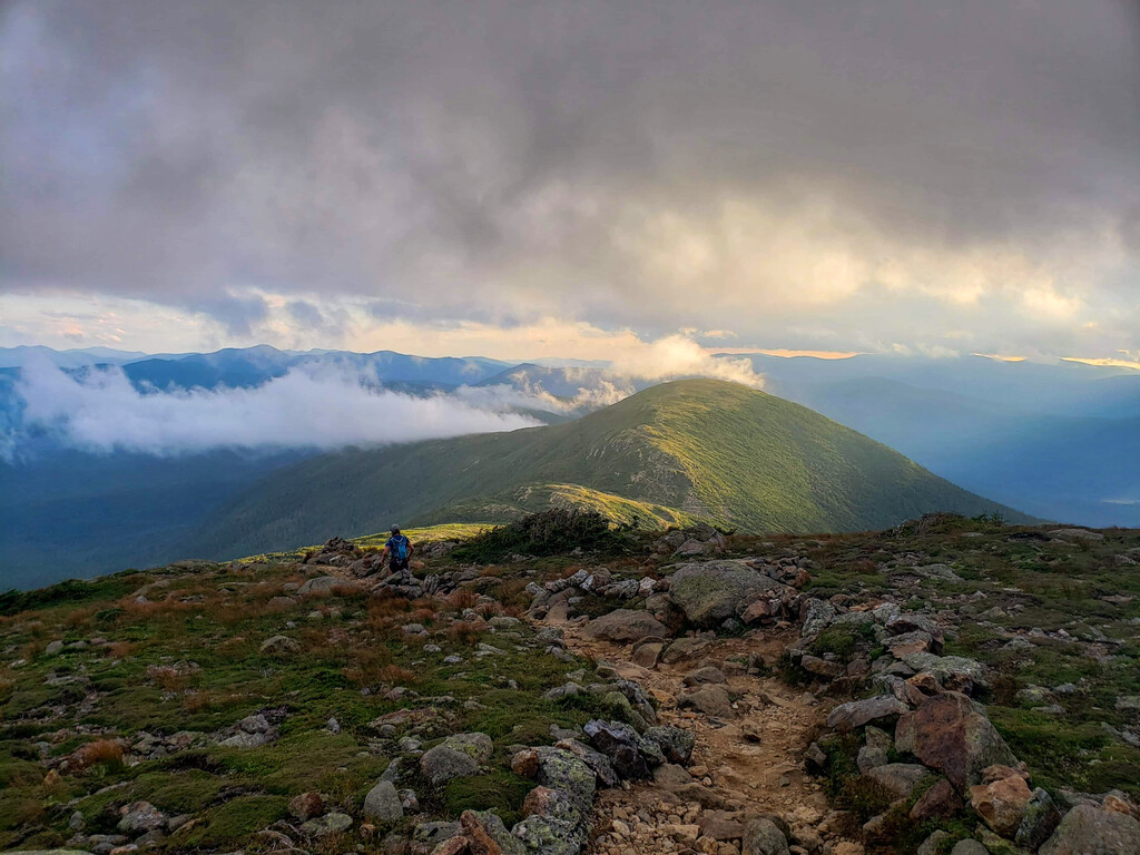
The White Mountains 100 (southbound) begins at Rt 2 outside Gorham, NH and begins by traversing the Carter-Moriah Range. After descending off of the Wildcats down to Pinkham notch, the route ascends and summits Mount Madison before weaving through the northern presidential ridgeline and summiting Mount Washington, the highest point in the Northeast. From there the route descends the southern Presidentials down into Crawford Notch. After ascending out of the notch, the route traverses an old railroad bed over to the Zealand Hut on what are some of the only flat miles of the entire effort. From there a steep climb up Zealand ensues, gaining the ridge of the mountains that encompass the mountains of the Pemigewasset. A few miles later it links up with the Pemigewasset Loop, traversing all the way from Guyot to the southern end of Franconia Ridge before dipping down into Franconia Notch. After another massive climb up to North Kinsman, the route traverses the Kinsman Ridgeline over to Kinsman Notch, which marks the start of the last significant climb up Mount Moosilauke. From there, all that is left is a 3,700 foot descent down the Glencliff Trail to NH RT 25.
Status: This is the #8 Ranked Northeast Region FKT. It is best practice to announce your attempt in advance, track your attempt diligently (GPS upload), and live-track your attempt if possible.
Support Style: As of spring 2024, the White Mountains 100 has only been completed in a supported manner. The lack of significant race history and precedent on this route leaves the door open for the establishment of records of all support styles.
Route History:
Historically, the White Mountains 100 is an extremely well traveled and iconic section of trail by virtue of being wholly on the Appalachian Trail. It shares segments with many iconic and historic routes in the White Mountains including portions of the Presidential Traverse, Pemigewasset Loop, Hut Traverse, Carter Moriah Traverse, Kinsman Traverse, Franconia Ridge, and Mount Moosilauke.
From the perspective of competitive running efforts, the White Mountains 100 has little history. As of 2024, there are less than 10 known completions of the route as a continuous running effort. More numerous than finishes are reports of attempted efforts that ended as DNFs. This route has proven to be difficult to complete even for strong athletes with experience in the White Mountains. It is likely that some number of Appalachian Trail thru-hikers have completed this route in a self-supported fashion while passing through the Whites, but those times are difficult to track down (as they are not documented speed record attempts) and are likely multiple days in length as the average Appalachian Trail thru-hiker only averages 10-20 miles per day through the Whites Mountains.
Media Coverage:
- Kristina Folcik’s 2020 supported FKT is discussed on the podcast The Mile 99 Interview
- Jack Kuenzle’s 2022 supported FKT is discussed on the podcast From the Backcountry
Route Variations: There are no directional or seasonal route variations for the White Mountains 100. This route can be run northbound or southbound.
Read less 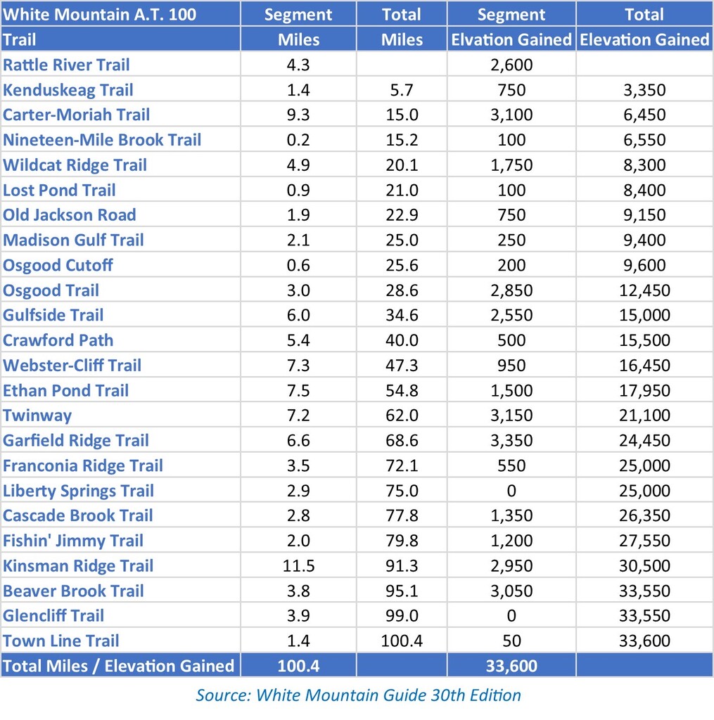
Comments
Before anyone posts it, no directional variation is needed for this route. Start and finish are basically the same elevation. Going NOBO you get alot of runnable terrain while fresh and then get hammered by northern Presis and Wilcat, Carter, Moriah traverse. Opposite for SOBO. I think SOBO is fastest.