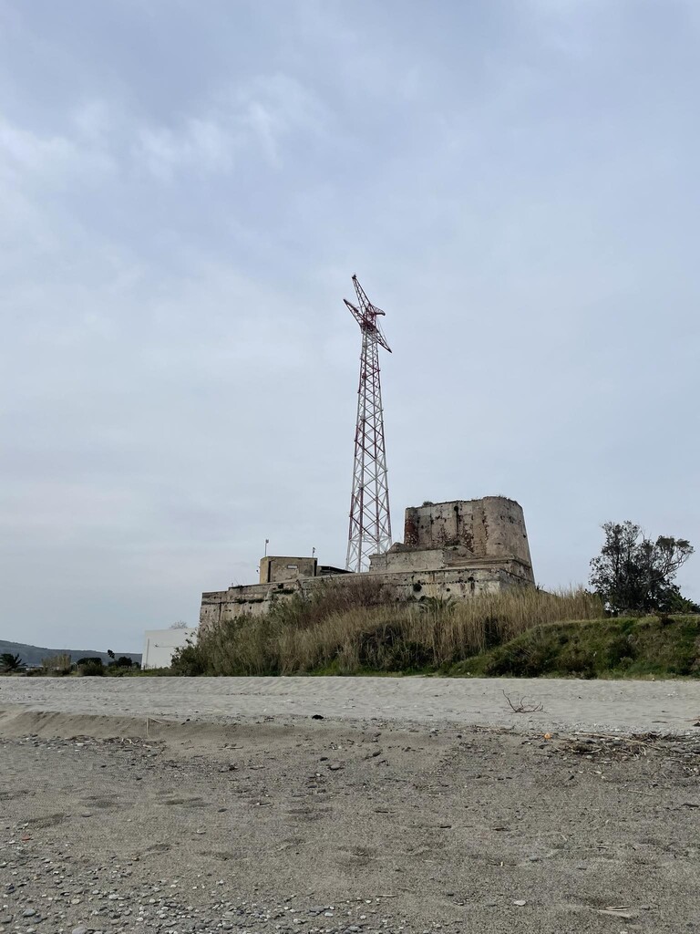
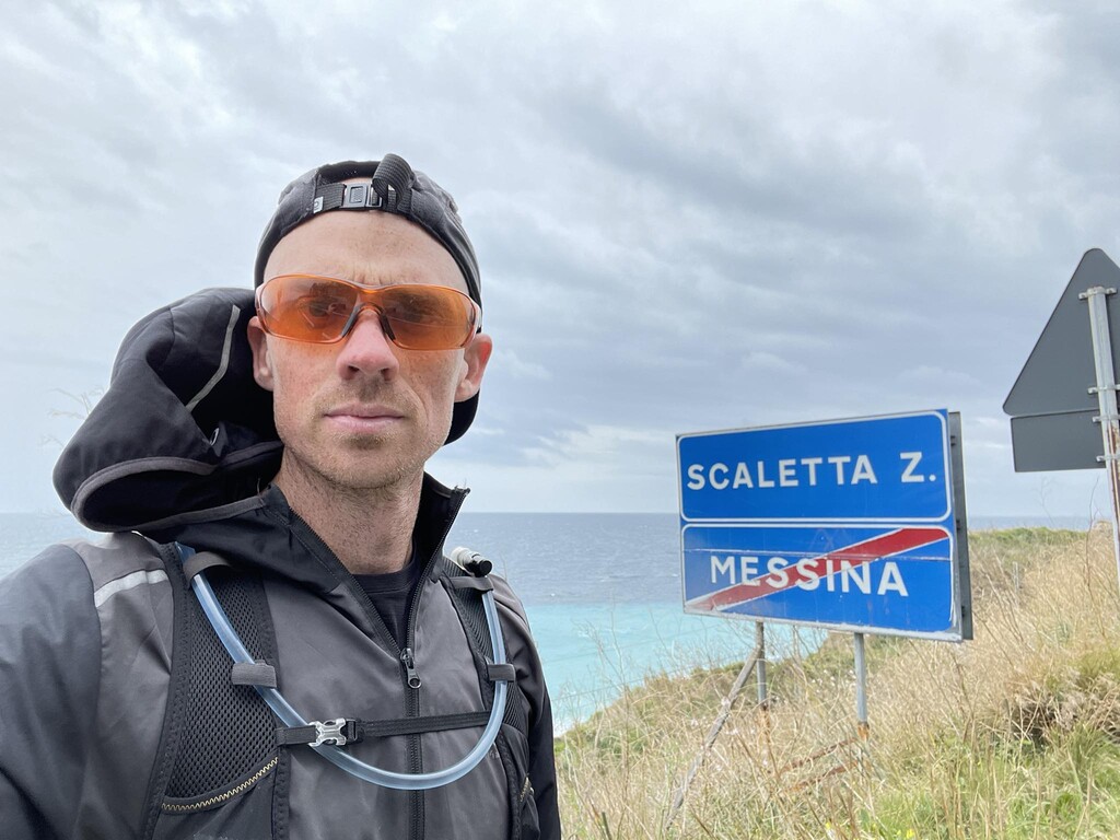
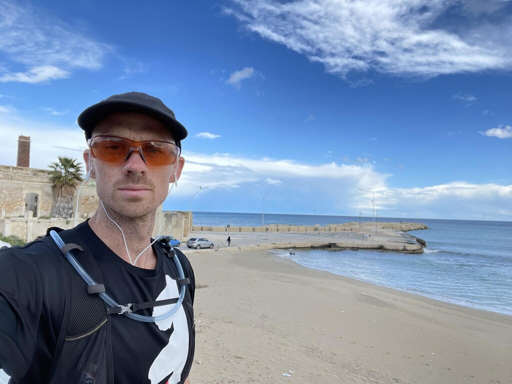
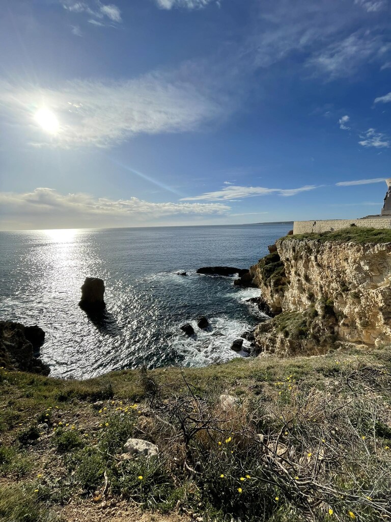
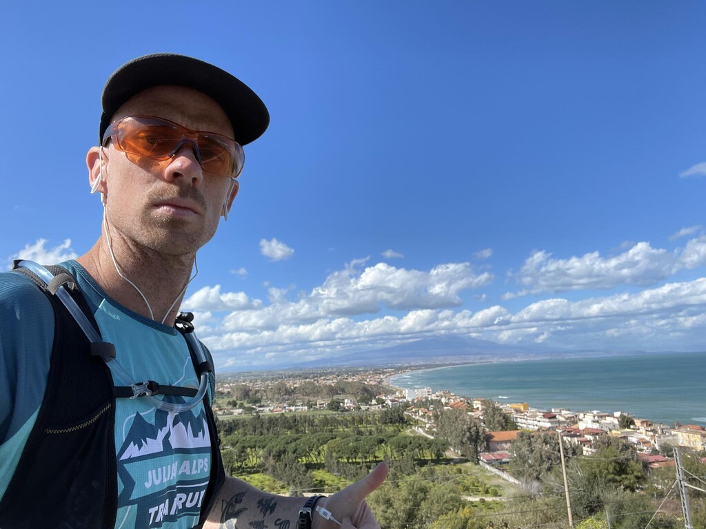
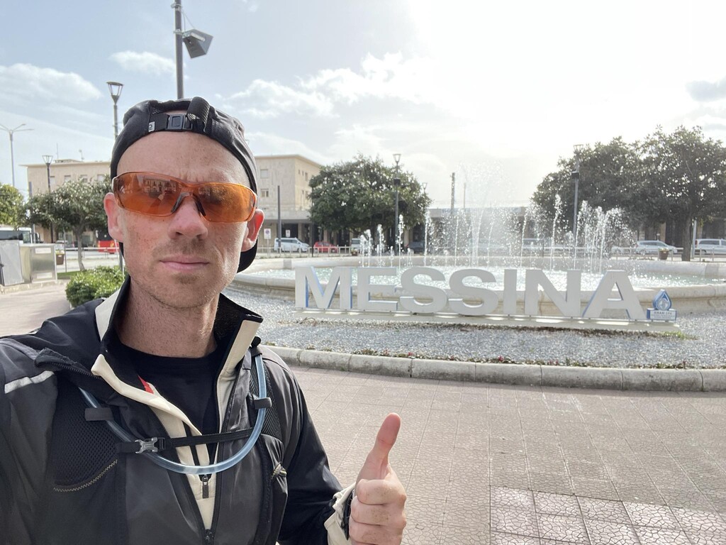
For my attempt, I started on the northernmost point of Sicily, which lies just past the northeastern corner of the island. The precise location can be seen on the map, or by going just a few meters east of Sparta Beach. From here, I ran along the beach all the way to Torre Faro, where I connected with the road leading to Messina. All during my run, I tried to hug the coastline as closely as possible, mostly following the road SS 114 (or smaller streets and sidewalk paths next to it), which runs along nearly the entire coast, but I did deviate twice in areas where the road leaves the beach and curves around a steep cliffside. These cliffside road sections were very tight without much room for safe running, so I chose to take the mountain pass instead of the narrow roads. The two locations where I did this can be seen on the map (also in the elevation profile, since much of the route is completely flat, excluding these mountain sections). The first mountain climb took a not-well-maintained footpath to the stunning mountain village of Forza d'Agrò. Although the path up was challenging because of how overgrown it was, I did manage to make my way to the village. It wasn't until I tried to follow the path back down the mountain that I ran into trouble. The path was so unmaintained that I eventually had to give up on it halfway through and head back down to the main road. The second mountain pass, however, was much easier and also offered a beautiful view of the city of Taormina, Mt Etna in the distance, and the landscapes below. This section is easily identifiable as the second spike in the elevation layout and this path was much better maintained and easy to follow. My suggestion to anyone attempting this route would be to skip the first mountain pass to Forza d'Agrò, opting to simply follow the main road instead.
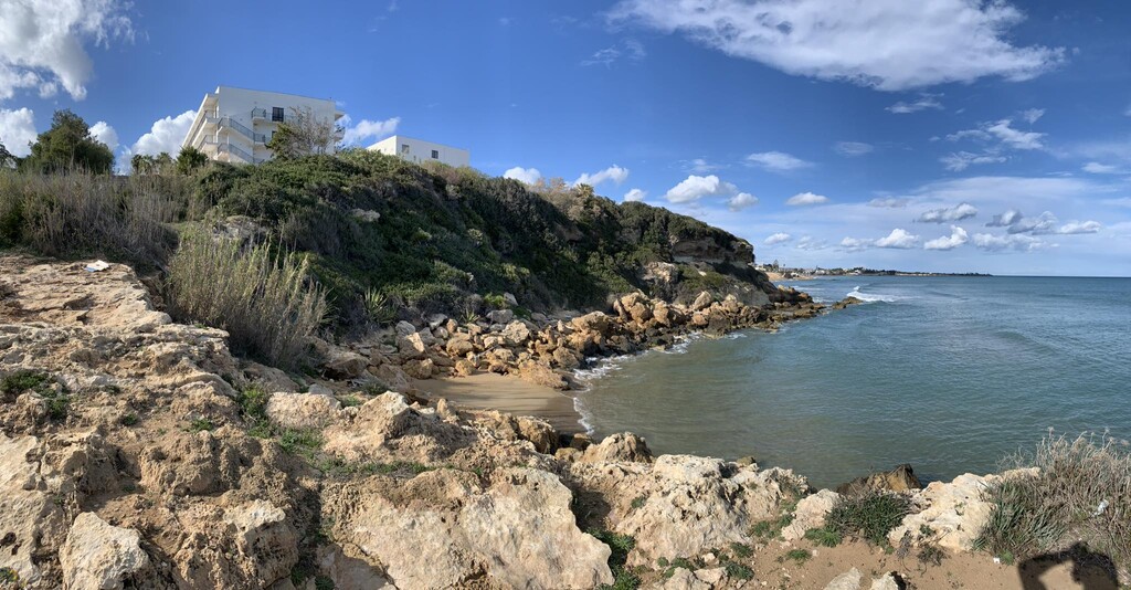
The first half of the route starts near Messina and ends in Catania. This is where the majority of the elevation gain and descent can be found. After the last "large" climb into Acireale (just before Catania), the route becomes very flat, even including large sections where I choose to run directly on the beach. However, running in the sand proved quite time-consuming and difficult, so I often felt forced back onto the roads. One thing anyone attempting this route definitely needs to look out for is river crossings. There are multiple locations where rivers and estuaries meet the beach, and in some places, create impassable sections. However, it's important to remember that these impassable sections are subject to change, often depending on the time of year, the amount of rainfall, if the regional authorities decide to open certain floodgates, etc. One spot that gave me a certain amount of trouble was Villaggio Primo Sole, where the river was so wide at the beach that I had to run back to the main road and cross the bridge there (this is also visible in my GPX of the route). The only other location that posed a threat was Foce del Tellaro, whereas, in years passed, I was unable to cross due to too much water. During my attempt, however, this section was luckily passable by treading through a bit of shin-high water. It's important to study and familiarize yourself with the route in advance and always have a Plan B for similar sections.
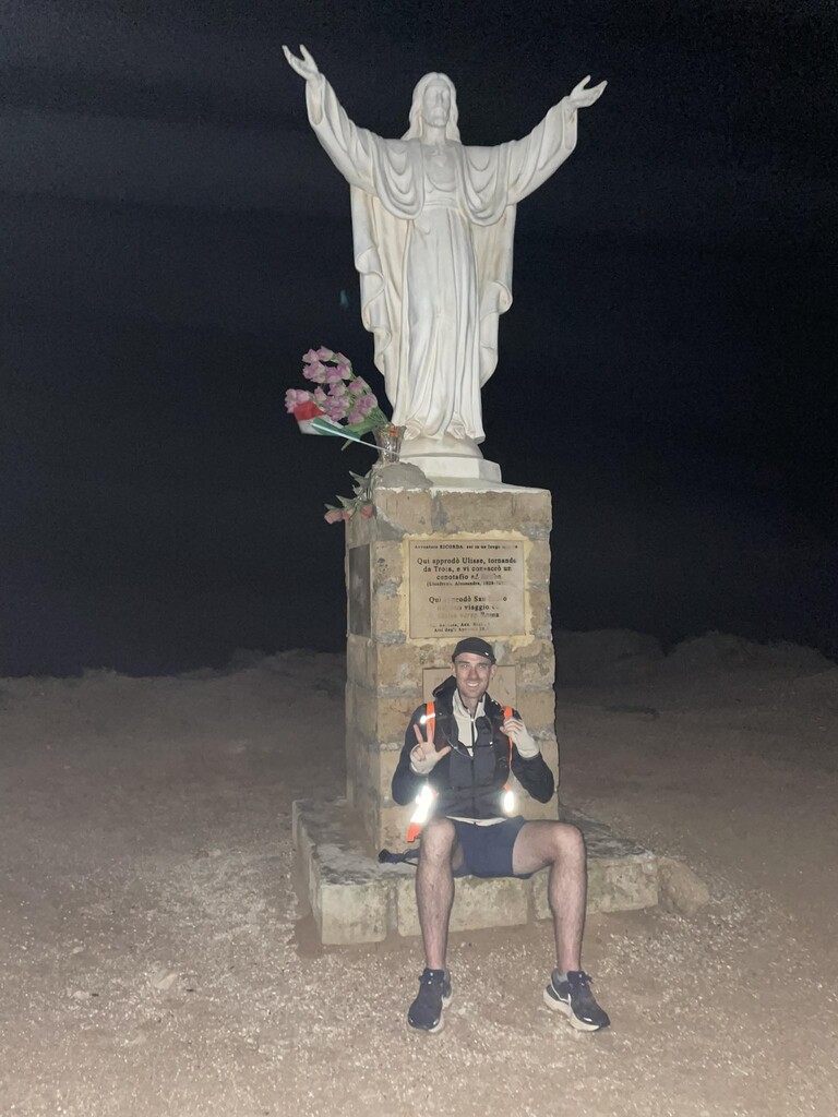
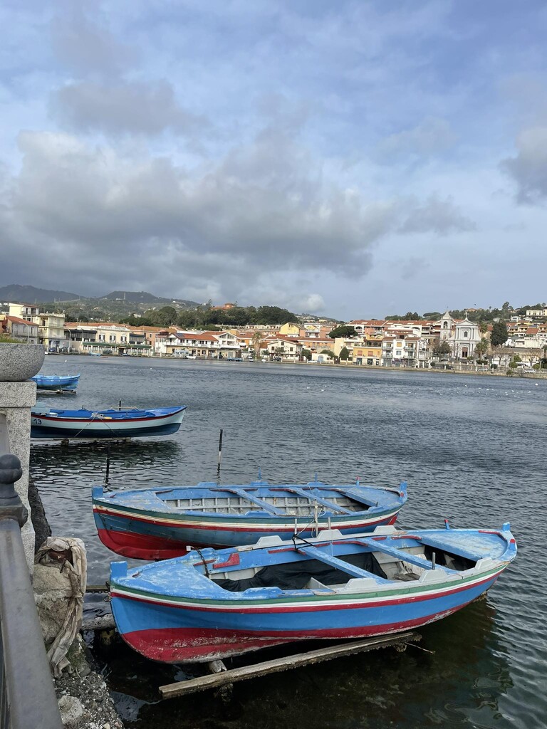
Otherwise, I would say my attempt was quite standard to other FKTs of this kind. My attempt was fully supported by a friend, who also drove our 'support vehicle'. He met me every approx. 20 km (the vast majority of the route is easily accessible by car), where I was able to recharge my phone, get some rest, and refill my water and food supplies. I slept two times, once on the second day (after having run a full 24 hours) and again on the third day, for a total of 9 hours of sleep. There are countless resources available for anyone attempting this route. The route goes from city to city, village to village, and you are never more than 10 km away from stores, restaurants, gas stations, hotels, etc. There aren't really any truly "remote" sections here. If you're trying for an unsupported attempt, however, you should still be able to find free drinking fountains all throughout the route (a typical feature of many Sicilian towns and villages), however, I can't tell you exactly where because my attempt was supported (I didn't need to go looking for water). And because the route passes through so many towns, you'll also have full access to whatever other facilities you might need, whether that be medical aid, help with directions, internet connection, bathrooms, etc.
Since I'm also the creator of this route, I'd be happy to help anyone interested in trying it for themselves. My initial plan was to follow the coastline as closely as possible, which means there are several locations that could be improved on for a faster FKT. Feel free to reach out to me and I'll answer any questions you have or help in any way that I can. Happy running!