46 Adirondack High Peaks – Standard Route – 06d:19h:14m - 173.3 miles – 74,249ft elev.
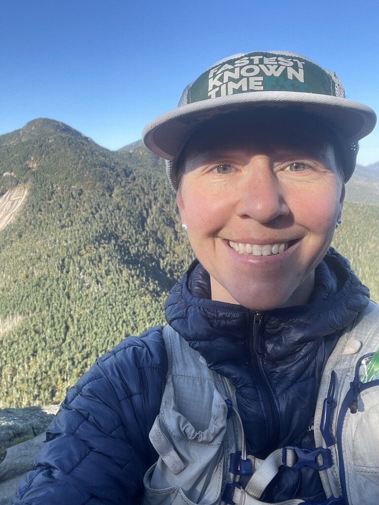
I’ve loved these mountains since first hiking in the High Peaks when I attended a distance running camp at the Lake Placid Olympic Training Center in high school. My first high peak was the same as a lot of people’s—Cascade! My love for the high peaks was amplified a few years ago when, while living Ithaca, NY, my family and I began to make more frequent trips to the park. During that time my husband Colt, daughter Thea, and I completed our 46er journey, all finishing in the summer of 2022. Colt and Thea (age 4 at the time) would often be out for days-long trips, slowly backpacking their way through the peaks one by one while I explored shorter trails, lakes, and town with our then 2-year-old son. That usually left me with limited time for my own solo hikes, and it became a challenge and necessity to figure out the fastest way to string together as many peaks as possible in the small window I had left when they returned. It wasn’t long before the car-ride-home conversations turned to, “How fast do you think you could do them all- in a single push?”
After making childcare and out-of-office arrangements, I had an 8-day window to go for it. I knew I might need all of it and so I didn’t have the luxury of waiting for a favorable weather window. On the day before my scheduled start, every single day except one was forecasting rainstorms. I panic-ordered a few extra pairs of waterproof socks.
I traveled from my home in Boston with the plan of taking on a solo self-supported thru-hike of the 46 (though as explained below, that ultimately morphed into a standard route). In preparation for that goal, the night before starting I placed a few strategic supply caches to use throughout my attempt. I parked my car at the Heart Lake campsites where I had reserved a spot for the week.
Day 1: 35.15 miles | 14,062ft elev. gain
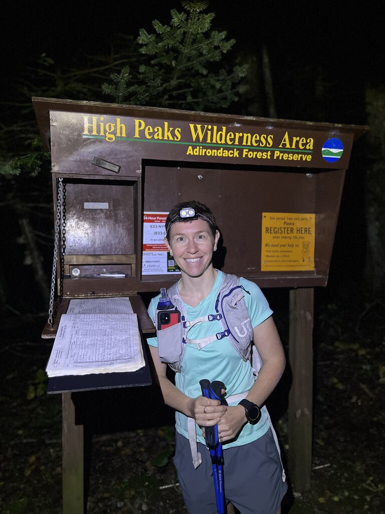
I got an early morning drop-off at the Seward trailhead on Coreys Road. My GPS watch, which usually finds satellites in a minute or so, took 20 minutes to connect. I paced around nervously in the parking lot, just wanting to get out on the trail. With my watch and inReach finally set, I took off at 5:30am and, a little shaken from the time delay, made my first and only notable wrong turn of the trip. I meant to head up Calkins Brook but instead walked all the way to the Seward trail, meaning I hit Seward first instead of Donaldson and would have to come back up Seward on my way off the range. The trail was predictably muddy, but the morning clouds cleared, and I was treated to some great views. I headed back down and over to Seymour, which passed relatively quickly.
As part of my initial round of 46 and my training for this effort, I had done almost all the trails that would be part of this attempt. One notable exception was that I had never ventured through the Duck Hole, which I would need to traverse in order to link the Sewards to the Santa range that day. I had seen unenthusiastic reports about this trail and had some apprehension over whether it would prove very slow going.
The Ward Brook truck trail was wide, fairly flat, and easy. I was able to walk quickly to the Northville Placid Trail and along Cold River to the Duck Hole. It was so pretty! And the trail was just fine. My biggest annoyance was using my face to break through hundreds of spider webs—though I’m sure the spiders found that more annoying than I did.
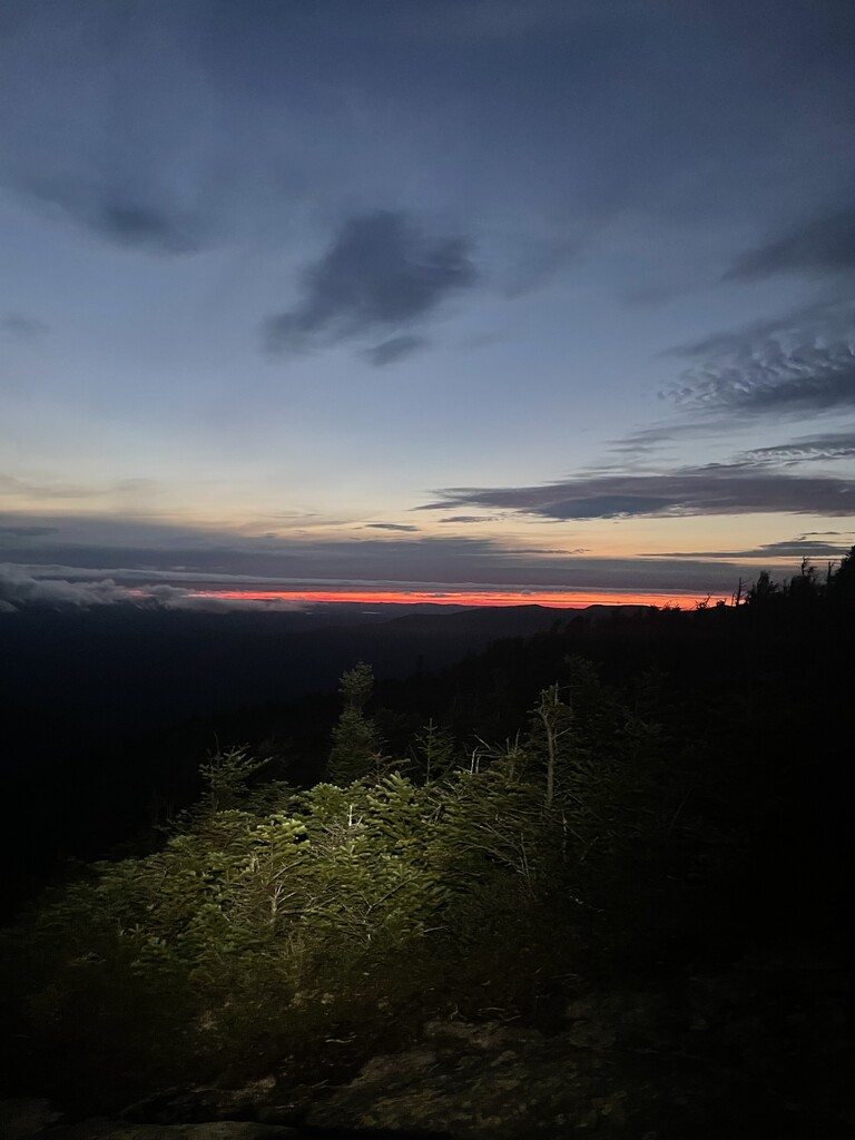
I stopped at the Bradley Pond lean-to for a snack and to summon the willpower to take on the Santa range in the dark, with a thunderstorm moving in. I headed up the herd path to Times Square just as the sun was setting and got a sliver of red sunset looking out from Panther.
I headed back down Panther and down the long trail to the Couchsachraga bog. By now a dense fog had settled and a light drizzle had begun. I intended to head straight through the bog but, in the fog and log-hopping somehow got turned around right before I reached the other side and had to go back through the bog again. I climbed Couchsachraga, came back through the bog, and headed up the long trek to Times Square as the drizzle turned to a steady rain. The rest of the way over Santanoni and down the express was rainy. By the time I reached the Bradley Pond Trail, the sky was lighting up with distant lightning, and it was pouring rain. I stopped my watch at the trailhead before retrieving the canister I had stashed the night before and made camp, settling in for a very wet but thankfully not too cold few hours of sleep in the soggy forest.
Day 2: 30.01 miles | 10,971ft elev. gain
I packed up camp and left for what was scheduled to be a 33 mile, 7-peak day finishing at my campsite at Heart Lake. I made good time on the long, easy trek to the base of Allen, including an uneventful rock-hop across the Opalescent river. The misty weather had stuck around, and I ascended Allen in foggy conditions. Allen is of course steep, but I didn’t find it overly slippery, red slime notwithstanding. For some reason, “We Don’t Talk About Bruno” from the Disney movie “Encanto” wormed its way into my brain that day and wouldn’t leave. Trotting down the East River trail: “Bruno says it looks like rain (somebody get the umbrellas)”. Crossing to the Calamity Book trail: “We don’t talk about Bruno, no, no, no.”
I got to the base of Marshall and made my way up Herbert Brook. I love the story of Herbert Brook being named for the man who led the Marshall brothers up each of the 46 high peaks and climbing Marshall I channeled Bob Marshall’s love for these woods and mountains. Rain rolled in as I was getting to the slabs at the top, and the temperature began to drop along with the sun. I put on my rain pants on top of the mountain and then started down, taking a few deep breaths before setting off for my most anticipated challenge of the trip— the evening bushwhack up Iroquois. As I started breaking through the heavy brush, the storm intensified. Water poured off the cliffs and wind whipped across the peak. I decided the safe call was to get down to lower elevation. I knew that would set me behind, but I hoped that descending Cold Brook Pass would give the storm time to subside, and I wouldn’t be too far behind by adding the climb up the Algonquin trail. Sure enough, the weather was better at Lake Colden, so I decided to make my way back up and try to finish the MacIntyres. The defining moment of my journey occurred on top of Boundary Peak. The fog was so thick that I couldn’t see a foot in front of my face, and my headlamp beam was just reflecting off the water droplets back at me. I was on a bald summit alone in the middle of the night, with wind and rain whipping around me, and I could not locate the trail. I found the biggest cairn and used it as a home base, but each time I got more than a few feet away from it, I was engulfed in nothingness. If you look at my GPS file you can see how far off of the trail I was. In those conditions, the arc of emotions bends towards fear. That’s the moment I decided not to proceed. Before the trip I wasn’t sure whether I would have what it took to push myself hard enough to finish. Now I wondered whether I was strong enough to make the decision to turn back. Not knowing what it meant but knowing that my original goal would not happen, I made my way back down the Algonquin trail and had a long walk back to Heart Lake. After two days in wet clothes, my skin had become chafed and bloody. After 30 miles and only two peaks, I made it to my camp at Heart Lake, took a hot shower, put on dry clothes, and crawled into my sleeping bag.
Day 3: 18 miles | 7,375 elev. gain
I got an abundance of sleep and took my time in the morning to assess if and how I wanted to proceed. All I could think about was getting back up and finishing the MacIntyre Range. So for the third time in less than 24 hours, I set off for the Macs. This time I had a smooth out and back to Wright, Algonquin, and Iroquois. While I was hiking, I turned over my next steps in my head. I wanted to try to keep pushing for the 46. I had to decide whether to pack up my heavy pack and continue the thru hike or make a change that would better suit the weather and conditions. I decided to do a standard route—a series of day hikes that would give me a dry place to camp each night. Once I got back to my car, I had a big meal and called Colt, who was based in Lake Placid, already furiously at work running the numbers. After we had spent a year planning this route, I needed help overhauling all of my hikes in a matter of hours. Colt sprang into action while I set off for a misty evening trek to Street and Nye. When I got back to my camp, he had designed a possible route and I was set to begin the Dix and Colvin Ranges in the morning.
After a short sleep at Heart Lake I packed up my car and drove to the Roaring Brook trailhead, where I planned to finish on day 4.
Day 4: 25.04 miles | 10,161ft elev. gain
I started on foot down 73 towards the Bouquet Forks trailhead, tentatively extending my thumb to passing motorists in hopes of a ride to the next trailhead. To my good fortune, a fellow hiker was driving to the Northway and asked where I was headed. With the heat from the car vents blasting, I shared my plans for the day ahead and we both agreed that our favorite approach to the Dix Range was from Elk Lake. In a serendipitous moment he offered to travel a few miles out of the way to shuttle me to Elk Lake. Thank you for that, Nate!
I made it up the Macomb slide, over to Carson and then to Grace, my favorite high peak. The sun was shining and I took an extra moment on Grace to take in the view and call my dad, with whom I had shared the summit of Grace on a beautiful fall day in 2021. From there I headed over Hough and to Dix.
I expected the multi-day effort would bring highs and lows. The rest of this day was a big valley, physically and mentally. For pretty much the whole hike, I had been having trouble replacing calories while moving, as I felt nauseated from the exertion. I was depleted and run down, and to make matters worse I started throwing up and couldn’t drink or eat much for the rest of the day. I slowly made my way up the Gravestone Brook bushwhack to Dial, then over to Nippletop and down to Elk Pass. By the time I got to the turnoff for Colvin and Blake, I was really hurting. I gathered the energy to move sluggishly over the peaks and back down the Gill Brook trail to Lake Road. Earlier in the day I’d had visions of quickly jogging down Lake Road and out to my car, but at that point it was all I could do to limp along, completely depleted.
Colt, my perpetually over-prepared trip master, had made an AMR reservation for multiple days that week to cover my bases for whichever day I needed to be passing through. I got in the car at Roaring Brook and drove to a hotel room in Keene Valley. I sat in the bathtub and watched as blood and dirt ran down the drain. I went to bed convinced I was done with the attempt. With pounding rain in the forecast for the morning, I didn’t set an alarm. My legs seized and cramped all night, making it hard to sleep.
Day 5: 17.14 miles | 8,517ft elev. gain
I eventually awoke at 10am. As hard as it can be to sleep out in the woods on an attempt like this, I hadn’t considered how hard of a mental challenge it would be to get out from under a warm, fluffy blanket in a heated hotel room. I called Colt to let him know I was done. The thought of standing up seemed impossible. I missed my kids. I could hear the rain hammering against the windows. He was sympathetic, but pushed back slightly, “If you’re going to quit, don’t do it in bed.”
I forced myself up and hobbled my way to the Noonmark Diner for the spinach lasagna, chocolate chip pancakes, a Sprite, and a box of peanut butter cookies for the road. I called Colt again. If we left now, we could be home before the kids go to bed. He responded: “Why don’t you eat and call me back in a half hour.”
The schedule had called for three separate short hikes today: Giant and Rocky, Whiteface and Esther, and Cascade and Porter. I reflected that I indeed didn’t want to quit in a cozy bed. Or at a restaurant. I was going to do it on the trail. I got my shoes on one more time and started my way up the Giant of the Valley. I told myself I would walk for half a mile and I would turn around if it wasn’t working. I put on an audiobook and I let myself walk really slowly. Sure enough I made my way to Giant, Rocky, and back down. By the time I reached my car, my legs had worked themselves out and I was feeling strong. The 5,000 calorie lunch and long rest had done their job. I was back in the game.
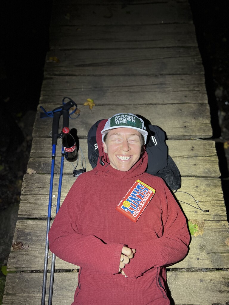
I caught a quick nap and headed to the ASRC. That is where I discovered a combination of fuel that would take me all the way to the finish—Noonmark Diner peanut butter cookies, and classic coca cola. The coke settled my stomach enough to eat and kept me awake, and the cookies were just right on the trail. With the adrenaline of facing another bald summit at night in windy and foggy conditions, I put on my fast shoes, lit up all 2,000 lumens on my headlamp, and just focused on Whiteface and Esther, a hike I love and have done many times. Everything was working again. Taylor Swift blasted through my headphones. The glow of the light on the weather station was a welcome beacon at the top. “Karma takes all my friends to the summit.”
When I got down, I drove back to my Heart Lake campsite and tried to get a REM cycle but knew within minutes that the caffeine and adrenaline would not let me sleep. I decided to use the tailwind and go. I took a short rest and got my gear packed up for my last two days in the woods.
Day 6: 25.62 miles | 12,320ft elev. gain
Day 6 was a peak experience, pun intended. I had 19 mountains left but significantly more than half of the distance and climbing behind me. I started before sunrise and was prepared to camp anywhere between Feldspar and Sno-Bird. I summited Phelps under the stars and caught first light on Tabletop. I crossed over to Lake Arnold and did Colden, then made my way to the Uphill Lean-to for a snack before tackling Redfield and then Cliff. Is it just me, or does Redfield seem to keep going up for an unreasonable amount of time? The high peaks bogs furthered their dominance over me when I sunk an impressive 3 feet into the Cliff bog with a misplaced step, whacking my shin on a rock that was inexplicably lodged halfway down the mud. After a nice climb to Lake Tear of the Clouds and a short trip up and down Gray, I was happy to put herd paths behind me for some grippy rock walking on Skylight and Marcy. A light rain rolled in on top of Marcy and persisted until the junction with Haystack. The climb up Haystack was windy but dry. Having completed 9 peaks in great time I settled in for a frigid night, ready to tackle the last day at first light. I knew nothing would stop me now.
Day 7: 22.12 miles | 10,843ft elev. gain
I had been dealing with more muscle cramps overnight and got on the trail as soon as the sun rose. I made my way over Basin and Saddleback, taking the same jacket on and off as I tried to decide whether I was cold or not. I hiked most of the way up Gothics before splitting off to do Sawteeth, the long hike down Pyramid somewhat eroding the positive mental attitude I was committed to maintaining. I felt better once I was back up Gothics and on the Great Range proper. By the time I hit Lower Wolf Jaw, I had summited 7 high peaks in 8.3 miles. I felt like I was moving pretty quickly, but the time on my watch assured me that I was most definitely not. I developed sun poisoning on the back of my neck due to the exposed traverse, so I spent the rest of daylight hours rocking a backwards hat.
I dropped down from Lower Wolf Jaw, filtered water at John’s Brook, pounded some more caffeine, and, feeling revived, took off up and down Big Slide, finishing in the Garden just before sunset. The weight of this attempt began to lift. The end was in sight. I was going to do this.
I had known in the back of my head that if I made it this far, with only Cascade and Porter left, I could find the strength to finish this tonight. I expected it to be easy to hitch a ride from the Garden to the Cascade trailhead since it was on the way to Lake Placid, but there wasn’t a lot of activity in the parking area. I started walking down to Keene Valley when a couple of friendly Canadian ladies who had just finished a hike were gracious enough to offer me a ride.
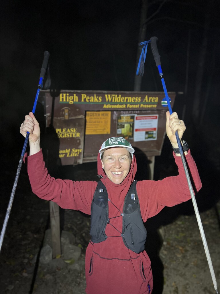
The hike up Cascade seemed to fly by. On top of the mountain, there were high clouds obscuring the stars but the air was clear and the lights of the town below were sparkling. The way to Porter was muddy but easy. I had left Boston a week earlier on a 90-degree day that buzzed with insects and birdsong. Now it was in the high 30’s, and silent but for the wind rustling the trees and leaves dropping to the ground. As I stood on the last summit I had a hard time crystallizing the experience into an identifiable emotion. I’m still not sure what to make of it all. But I know I’ll have lots more long hikes to think about that. For now, I was done.
Although I spent so much time solo, this of course would not have been possible without the help of so many people. I am grateful in particular to: my mom and dad, for igniting my love for the outdoors and showing me the freedom that comes from being at home in nature, even alone. To Althea, for the peace of knowing that Thea and Colby were enveloped in love and care every minute I was away. I am grateful to my physical therapist Luke for getting my IT band in working order after an injury that took big efforts off the table earlier this year. Thanks to James Appleton and the many Adirondack authors and content creators for their well-told stories that keep me wanting to come back here. Thanks to Jay Brooks for the colorful trail advice and for summoning resources to help me put the final puzzle pieces of this hike together. Thank you to my colleagues who shouldered my work responsibilities without hesitation and cheered me on from afar the whole way. To Katie, Bethany, Nancy, Grace. Just a few of the pioneer women of the Adirondacks whom I have admired since I dared to dream of this goal. Their groundbreaking performances, trip reports, accounts, and outlook were invaluable to me in this journey. And above all to Colt, who spent long winter nights tracing routes on a map spread across our kitchen table. Who turned our living room into a gear center, meticulously charting out everything I might need for the trip. Who packed my food, clothes, and equipment in the weeks prior while I worked late into the evenings. Who listened while I cried on the phone after finishing the Colvin Range. And who believed I could do this, and, because of that, I did.
Gear & Equipment:
- Shoes: 5 pair of Adidas Terrex Free Hiker GTX
- Outerwear: Patagonia Micro Puff Hoodie, Black Diamond StormLine Stretch Rain Shell, Melanzana Micro Grid Hoodie Fleece, Outdoor Research Foray Rain Pants
- Trekking Poles: Black Diamond Distance Carbon Z, Leki MCT 12 Vario
- Packs: Hyperlite Southwest 2400, Ultimate Direction FastpackHer 20L, Salomon Sense Pro 10L Vest
- Canisters: UDAP No-Fed-Bear
- GPS/ Navigation/ Communication: Garmin Enduro, Garmin Instinct, Garmin inReach, iPhone
- Power: 4 Nitecore NB10,000, Allpowers 4600
- Lights: 3 Nitecore NU25 400 UL, Nitecore HC68
- Sleeping Bags/ Pad: Patagonia Alpine Hybrid, Thermarest Hyperion, Thermarest NeoAir Uberlite
- Shelter: Hummingbird Hammock Single+, Heron Rain Tarp, MSR Carbon Reflex 2
- H2O: 2 Sawyer Mini filters