


The Derwent Valley Heritage Way starts at Hetherdene Car park near Ladybower reservoir in the Peak District and winds its way from there to Shardlow some 53 (ish) miles away in South Derbyshire.
This route was one I had run elements of before but never from start to finish. I happened to see a vlog from a couple of long distance walkers on Youtube who completed the route over 3 days so I thought it sounded like a good challenge for a days adventuring.
Initially I planned to run this the week before but torrential rain and flood warnings put this back by a week and also led to some of the days challenges (more on this below).
The day started around 08:00 at Hetherdene Car park, Ladybower Reservoir (which conveniently has a full, spacious toilet block for changing along with fresh drinking water - especially useful if heading South to North and finishing here). The weather report had been good up until the morning before where it changed to >80% of rain. This proved accurate as it rained constantly for the first 6 hours or so of the day - meaning I started out in my winter Goretex jacket, gloves, hat as there was also a pretty chilly northerly wind for the majority of the day.
After starting with a nice decent along the Thornhill trail I headed South towards Hathersage skirting the edge of the town on some slick, riverside trails. A short while later passing through Grindleford with fantastic views of Froggatt Edge before passing Calver and Calver Edge a short while later. It was at this time I realised my initial plan of 10 hours was not going to happen as there were sections where you could barely stand up in the mud it was that slick. As this was an adventure it was just a case of pushing on as quickly as possible and trying to maintain a sense of humour at the same time (mostly successful...).
12 miles into the route and I passed through the village of Baslow where I restocked with a litre bottle of water at the Coop store (only a couple of metres from the route). After waiting for a green light at the door that allowed me to gain access (something else I did not factor in was Covid limitations and how they would impact on getting served in shops) I restocked and was quickly on my way.
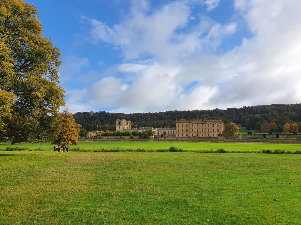
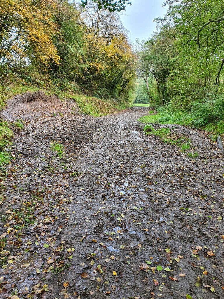
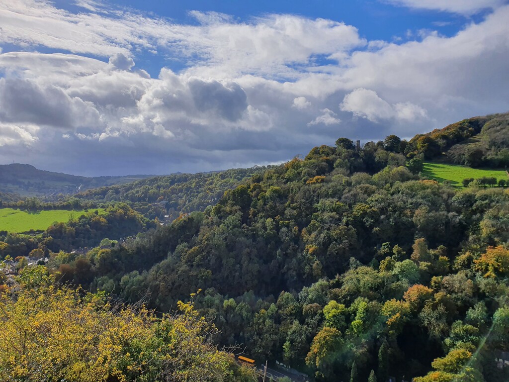
The next 10 miles or so took me through the Cavendish estate providing fantastic views of Chatsworth House and its surrounding areas. The section from Chatsworth through to Matlock passes through a lot of rural, primarily bovine farm land This mixed with a couple of weeks of substantial rain made for a long slog through ankle deep mud (mixed with a lot of cow 5hit) which was particularly tough going. I can only apologise to anyone within 20 feet of me later in the day once it started to dry off...
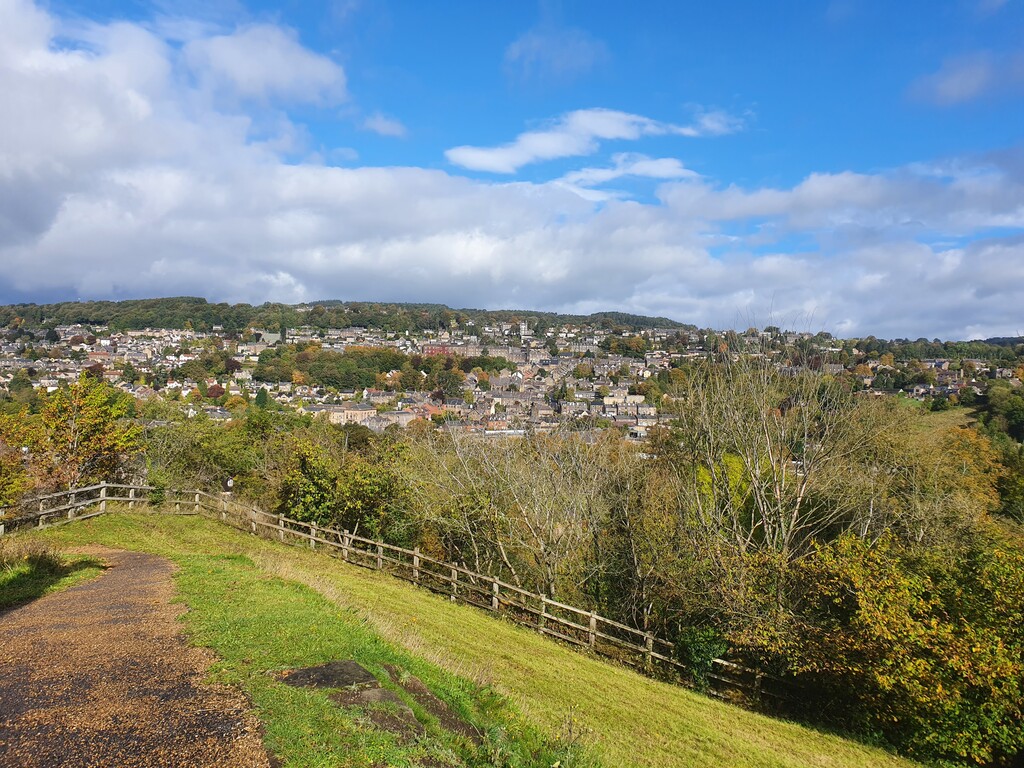
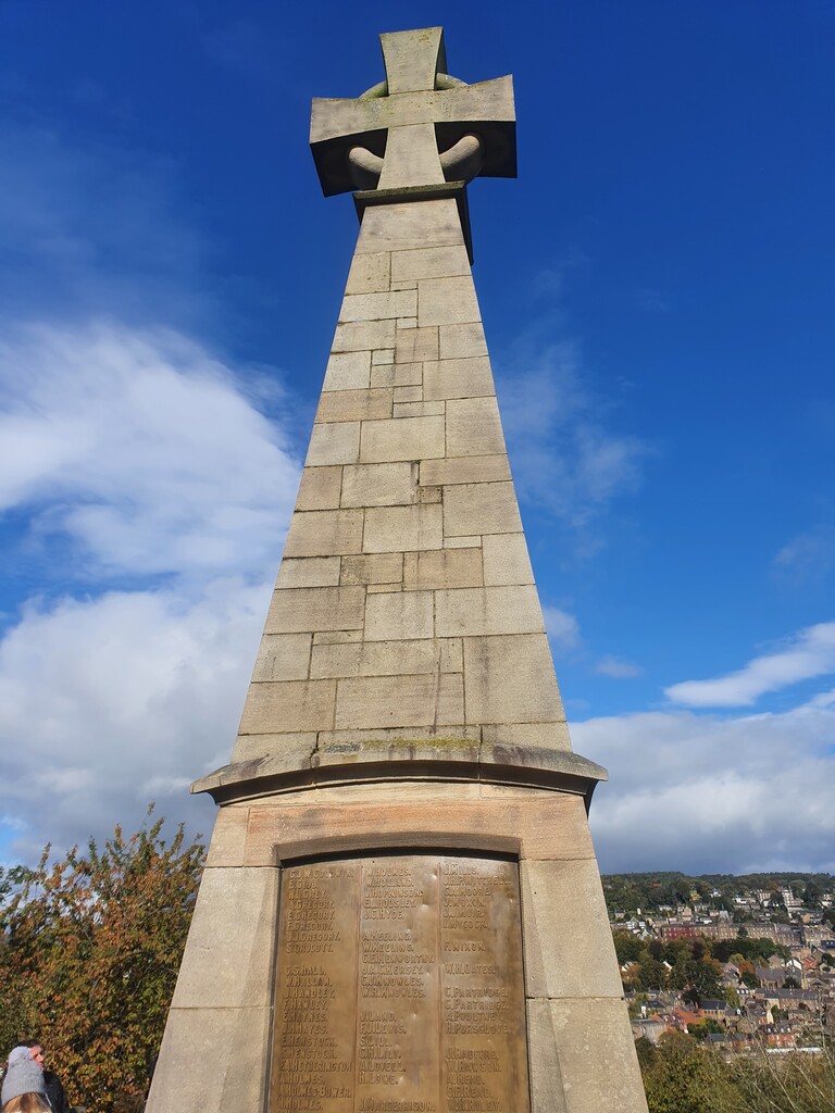
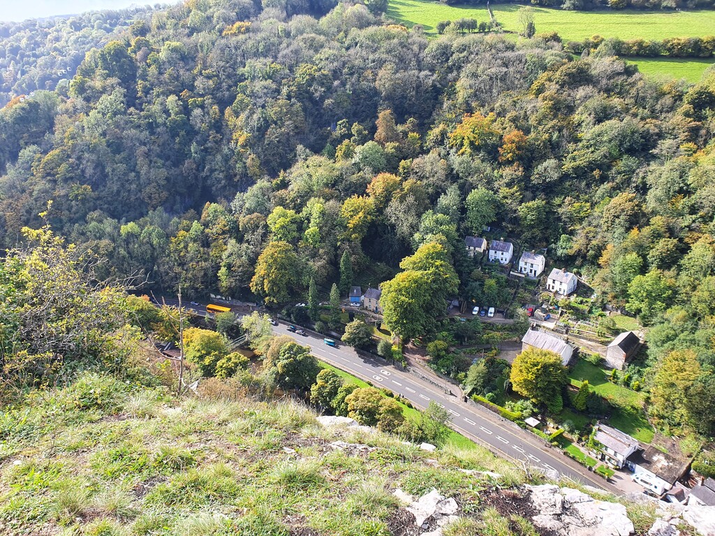
I arrived in Matlock and headed through Hall Leys park before trying to find the correct route to ascend/descend the War Memorial which is part of the official route, not particularly well sign-posted but no major issues. From there I climbed Pic Tor, High Tor and Giddy Edge (a short climb with great views of Riber Castle, Matlock and Matlock Bath). A quick descent dropped me into Matlock Bath after passing under the cable cars to the Heights of Abraham.
I moved through Matlock Bath and on to High Peak Junction as I knew that this would be quiet and had outdoor seating and toilets so I had chosen this as my mid-point stop. A coffee/bottle of coke/bottle of water were procured and a quick "nature stop" carried out. I gave myself 10 minutes to drink the coffee and eat some mashed potato from a zip-lock bag which led to a couple of interesting conversations with the locals.
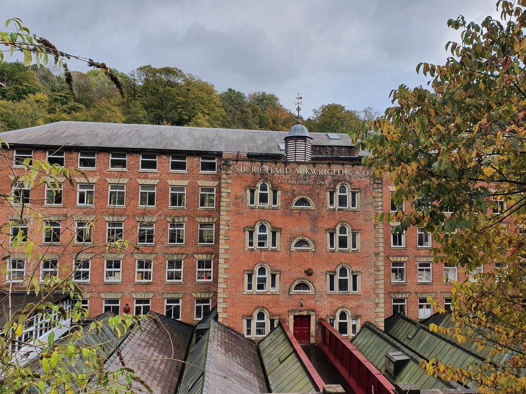
The next few miles were spent following the Cromford canal making for easy running in the main before hitting Belper town centre. This is tricky navigationally as the route tends to be well sign-posted in the rural areas but less so in the towns themselves. Another opportunity to refuel if required as you pass by a number of shops but I had ample left from my previous stop.
The next section from Belper to Little Eaton was an undulating roll across the English countryside - however, there were a couple of sections here that were not well sign-posted so navigational errors were made (as can be seen by my GPX plot!). I overshot one turn on a descent and when I realised I noticed another track that would put me onto the correct route. After 5 minutes of bush-whacking I ended up retracing my steps and re-joining the route so lesson learned!.
I wound my way through to Little Eaton with little major challenges, by now the sun had come out and I managed to get rid of my gloves and waterproof jacket which was particularly pleasant after the first half of the day. I arrived in Little Eaton (around 40 miles) and made my final pit-stop at the local Coop (again, on the route so really convenient). 1 litre of water and a small chocolate milkshake stowed and I was on my way again.
The route description and map shows that you follow a small service road before descending under the Derby ring road - however, this is fenced off with additional groundworks having taken place so you now have to climb back up on to the ring-road walk 30 metres and the descend again before heading towards Darley Abbey but no real time lost.
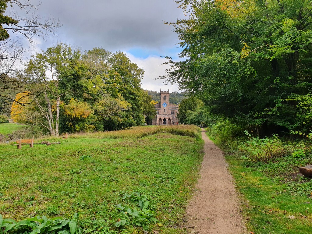
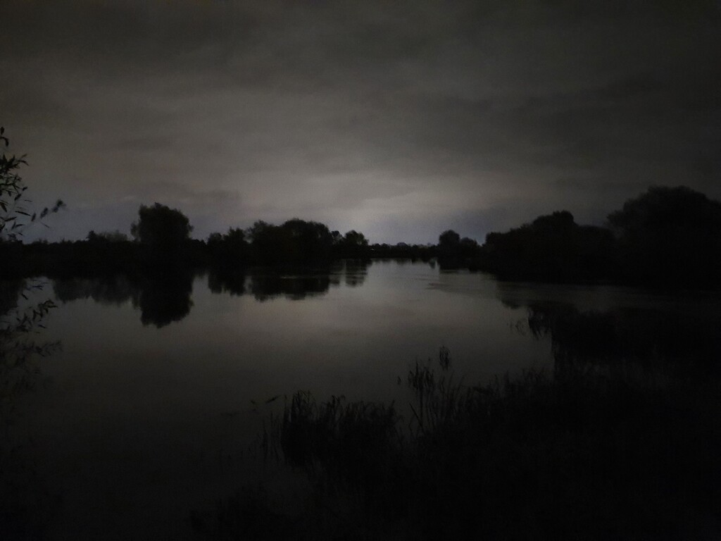
The next section is one that you can simply switch-off on as it follows the Riverside walk from Darley Abbey, skirting the centre of Derby and the Derby County Football ground on hard pack trail or concrete so no navigation but not really my bag as I prefer trails. It was not long after this that the sun started to set so I had to pull out my head-torch for the final 5 miles or so. I was now firmly on home soil though as these trails are part of my regular runs so the final few miles were really straight-forward.
After a little over 12 hours this momentous moment was marked by... absolutely nothing. No signage to say you have completed the journey are present at all. So other than a sense of satisfaction and knowing that there are at least 2 pubs that you passed in the last mile or so that should be open to help you celebrate it is all down to you.
I cannot imagine this time lasting long at all so I'll call this the Firstest Known Time for now...
All the best if you give it a go.
Iain