

Primary Tracking Device - Stacey’s Garmin InReach Mini
Secondary Tracking Devices - Stacey’s Garmin Forerunner 935, Teri’s Garmin, Photos with metadata from Teri’s Apple iPhone and Stacey’s Samsung Galaxy S10
**Both watches died before the last section from Dosewallips Ranger Station to 101 and the InReach required a restart after charging in the last few miles. We have included photos from the finish at the 101 with the time metadata. We have additional photos with time metadata from the last section if needed.
Equipment
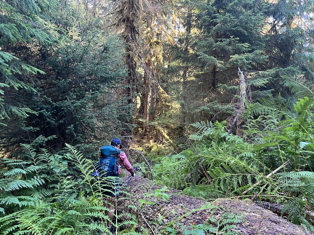
- Stacey - Ultimate Direction Fastpack 35, SMD Gatewood Cape and Bug Net, Thermarest NeoAir Xlite Pad, EE Revelation Quilt (20 Degree), HMG stuff sacks (for quilt and clothing), MH Ghost Whisperer Jacket, Bearvault 475, Katadyn BeFree Filter, Smart Water Bottle and Hydrapak Collapsible Bottle, GSI Outdoors Halulite Minimalist, Primus Stove, Prana Shorts, Icebreaker Cool-Lite Merino Hoodie, Patagonia Sun Gloves, Injinji socks, Dirty Girl Gaiters, Salomon Sense Ride 4 Trail Runners
- Teri - Ultimate Direction Fastpack 35, Exped Flexmat Sleeping Pad, SOL Thermal Bivy, EE Revelation Quilt (10 degree), Patagonia Micropuff Jacket, Bear Vault 500, Katadyn BeFree Filter, Hydrapak 1.5 liter bladder, Gatorade bottle, Smartwool Biker Shorts, Ridge Merino Lightweight Wool Hoodie, Darn Tough socks, Saucony Peregrine trail runners
Day 1 - Ozette to La Push https://www.strava.com/activities/7640582628
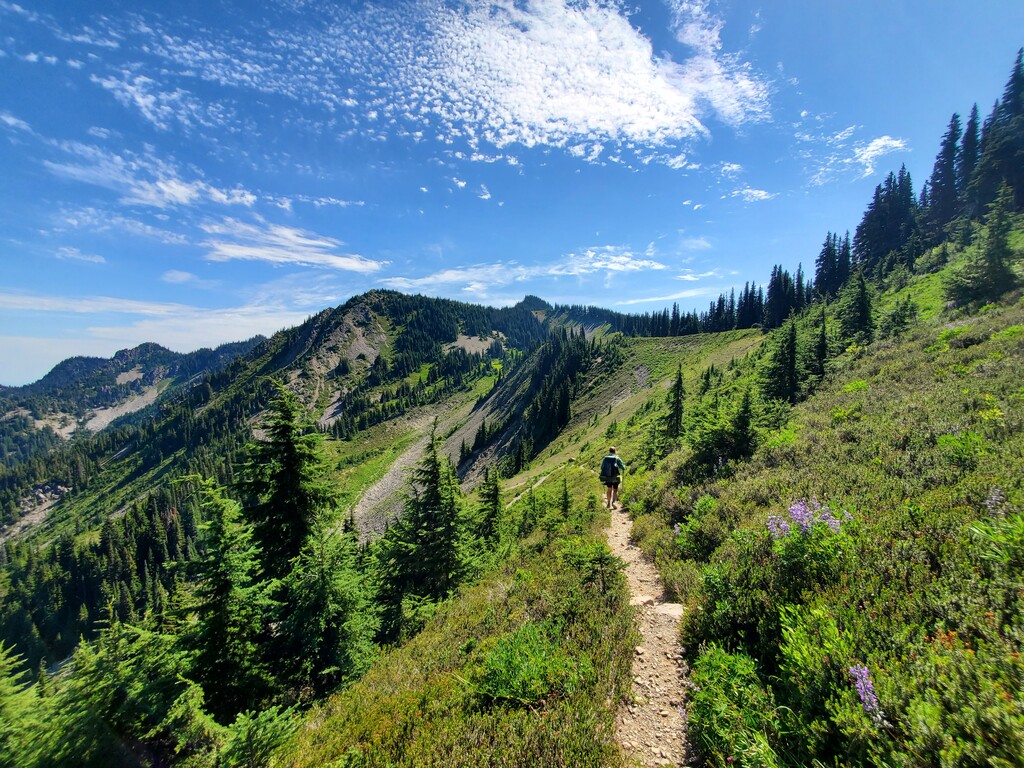
- 4:39am start at Ozette TH - easy hiking to the coast on wooden boardwalk surfaces and soft trail.
- Saw bear tracks (and just missed seeing a bear) around 6:40am near Sand Point
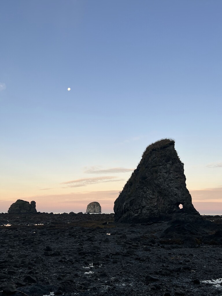
- Tidepools with starfish along south sand point
- Anticipated really challenging travel between Yellow Banks and Norwegian Memorial, but it was surprisingly much easier than expected
- Items found on the beach - rusty metal parts, bucket seats from cars, a large rolling cooler
- Whale bones nearing Norwegian Memorial
- Waited out high tide just north of Camp Johnson - original plan was to wait out the tide near Norwegian but we were able to travel much farther before tides caught us out - overland routes are always slower than beach walking! This cove is one that is notorious for trapping people at high tide as both sides have pinch points.
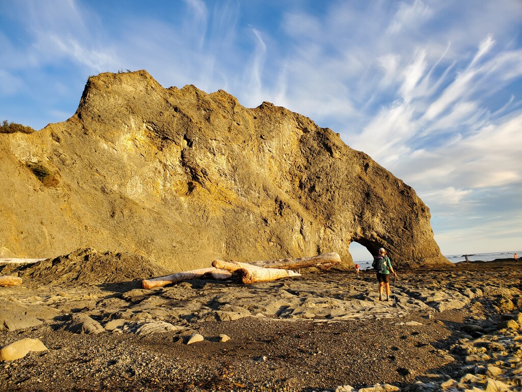
- Another (slightly fresher) whale carcass just north of Hole in the Wall
- Rialto Beach just before sunset
- Roadwalk to Three Rivers Resort where remaining food and some overnight gear was cached. Got about 4 hours of sleep and a dinner of real food.
Day 2 - La Push to Road G3200 https://www.strava.com/activities/7647932298
- 3:37 am start from Three Rivers Resort
- Easy road walk to Third Beach trailhead - minimal traffic
- Section has the most amazing sea stacks between Taylor Point and Scott Creek
- Goodman Creek crossing was easy - only ankle deep
- Overland route between Mosquito Creek has seen some good trail work and significant reroutes
- Mis-timed the tide by about an hour and got stuck waiting for high tide to recede at Diamond Point - looking at the spreadsheet, we had 2.2 miles per hour expected for the southern beach sections, but those overlands took longer than that. If you use the Coast Trip planner spreadsheet, be sure to check what time you are estimated at. Our spreadsheet said 11:57, which the spreadsheet reads as being able to pass because 11:00 am was a 2.25 tide. But at noon, the tide is now 4.17, and you cannot pass. So technically, it was not passable, even though the spreadsheet said so. You’ll want to be to Diamond Head at less than a 4 foot tide at least an hour before the tide goes over 4 feet.
- Dolphins playing in the waves while we waited out the tide.
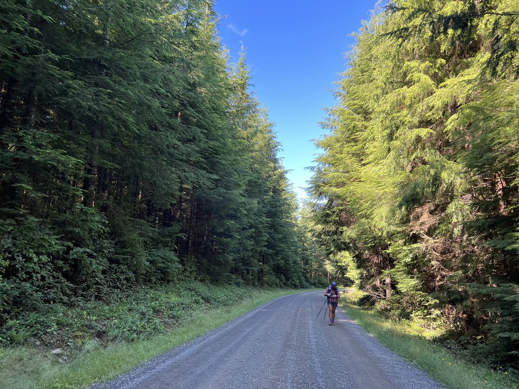
- Road walk through the logging roads by head lamp. Carried enough water that we didn’t have to find ways to scramble down road embankments to water sources in the darkness
- Road G3200 was very easy to miss, thankfully, we were able to confirm the road location and turn using the Far Out App.
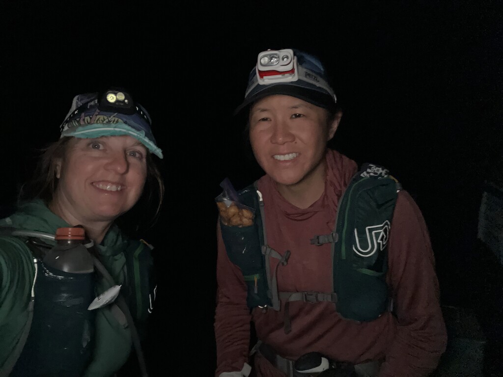
- Took a roadside nap at 3:30am on what seemed to be an abandoned road to be awakened by a passing vehicle at 5:30am
Day 3 - Road G3200 to Flapjack Camp https://www.strava.com/activities/7674909570
- Completed road walk to Bogachiel SP where we got rid of trash and re-packed our packs - Washington State Parks offers hike/bike camps for $12 and will find you a spot if they are occupied (not sure how this works if you arrive at 3 am however). Showers are available there. If doing a self supported FKT, this could be a place to stash supplies.
- Undi Road Bypass adds some additional mileage and elevation gain
- The name "Bogachiel" is a corruption of the Quileute words bo qwa tcheel el, or /boqʷač'íʔl/, from /bó:q'ʷa/, "muddy", and /číʔlowa/, "water", meaning "gets riley [turbid] after a rain", "muddy waters", or, less likely, "big river".
- Reference - https://en.wikipedia.org/wiki/Bogachiel_Peak
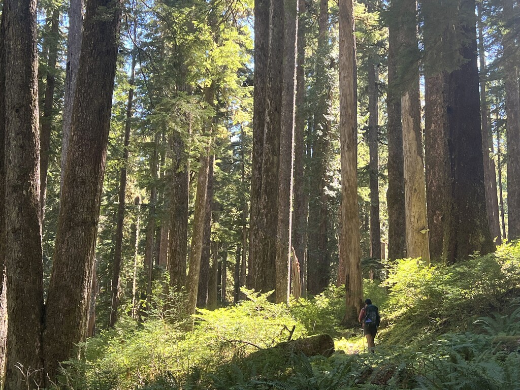
- Bogachiel River Trail is challenging with lots of narrow ledges, overgrown and rough tread and bugs. The lower section has trail offshoots that can make it challenging to navigate.
- First time implementing the 15 minute trail nap which provided more benefit than you might think.
- Lack of sleep meant a grumpy Stacey, who did not like all the “PUDs” (pointless up and downs)
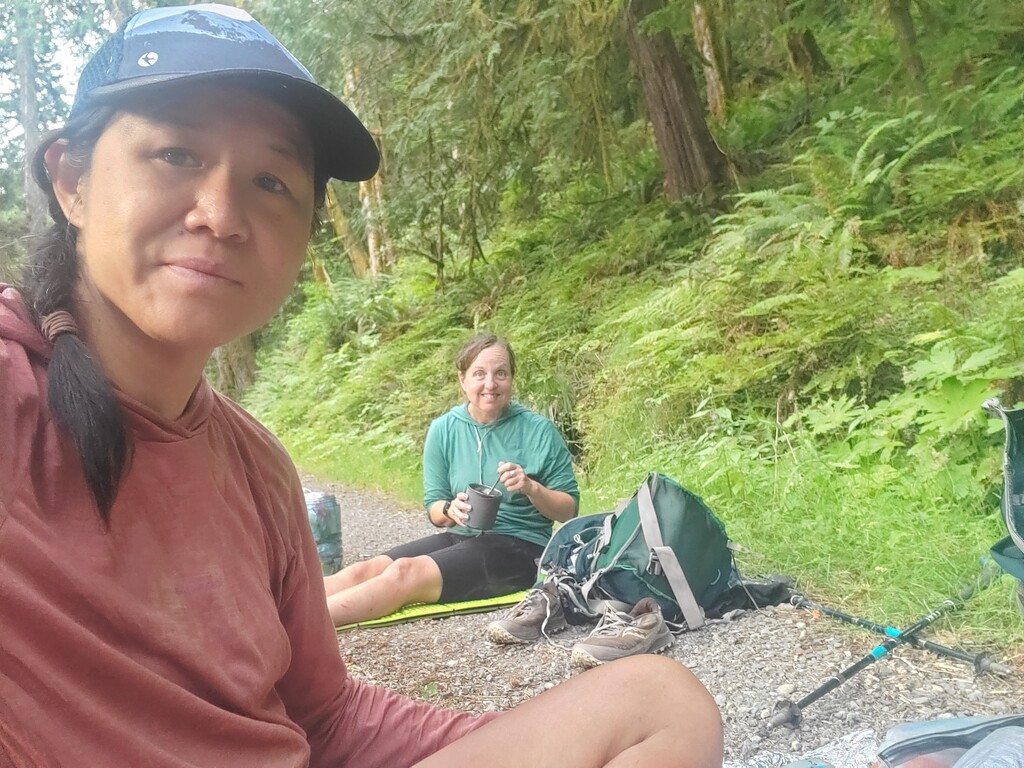
- Flapjack Camp provided a good opportunity for rest with easy access to the river. There are more camps down to the right of the first ones you come to.
- Our original goal for today was Deer Lake Camp, but once we realized this was not realistic, we sent an email to the ONP WIC to modify our permit via Stacey’s inReach. Success! We received confirmation of our modified itinerary before noon the next day!
- Stacey started working out a modified food strategy to stretch her food to cover another day in case we took longer than the 6 days planned
Day 4 - Flapjack Camp to Deer Lake Camp https://www.strava.com/activities/7674954125
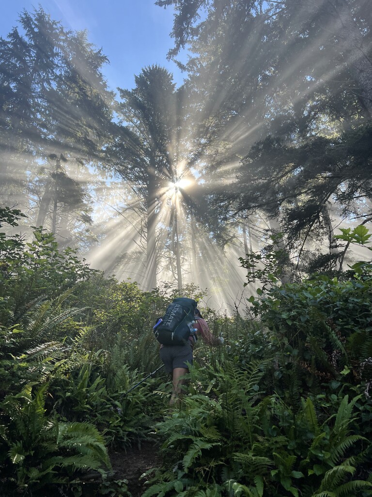
- 5:57am start after a solid night of sleep. We didn’t really want to navigate the rough trail by headlamp
- Section of trail is lightly used, with moss growing in the tread
- Trail work is in progress, but once we passed 15 Mile Camp, it was clear that it had not progressed this far. Lots of blow down, brushy trails and drainage issues.
- Lots of huckleberries as we neared the east end of the Bogachiel Trail
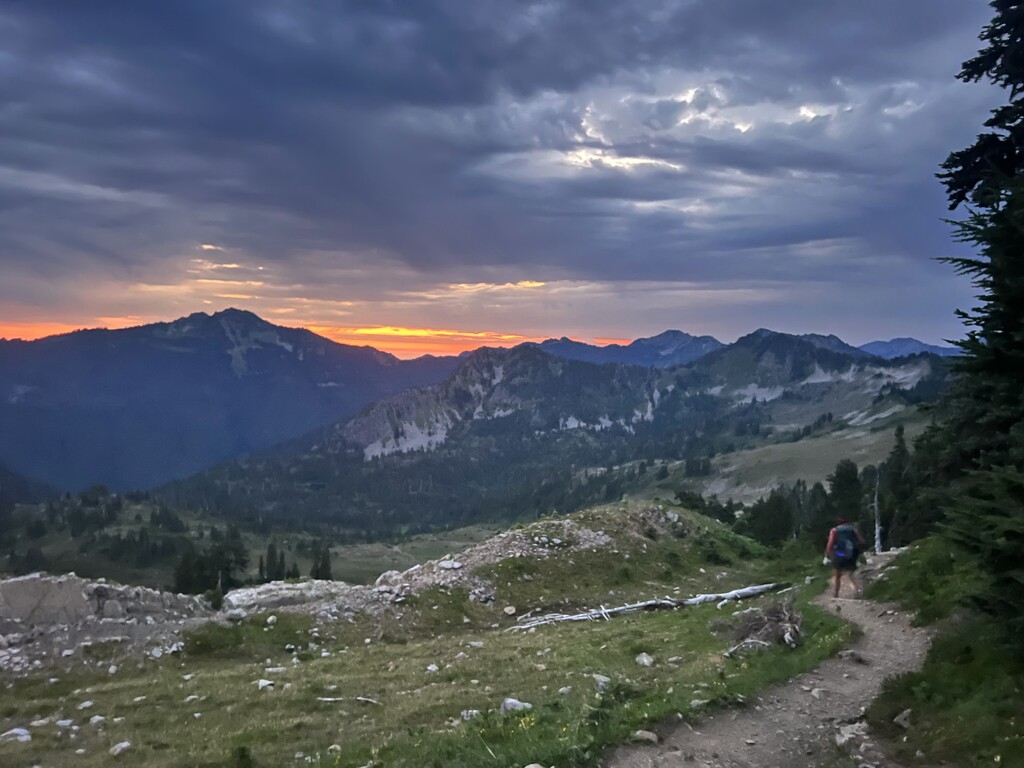
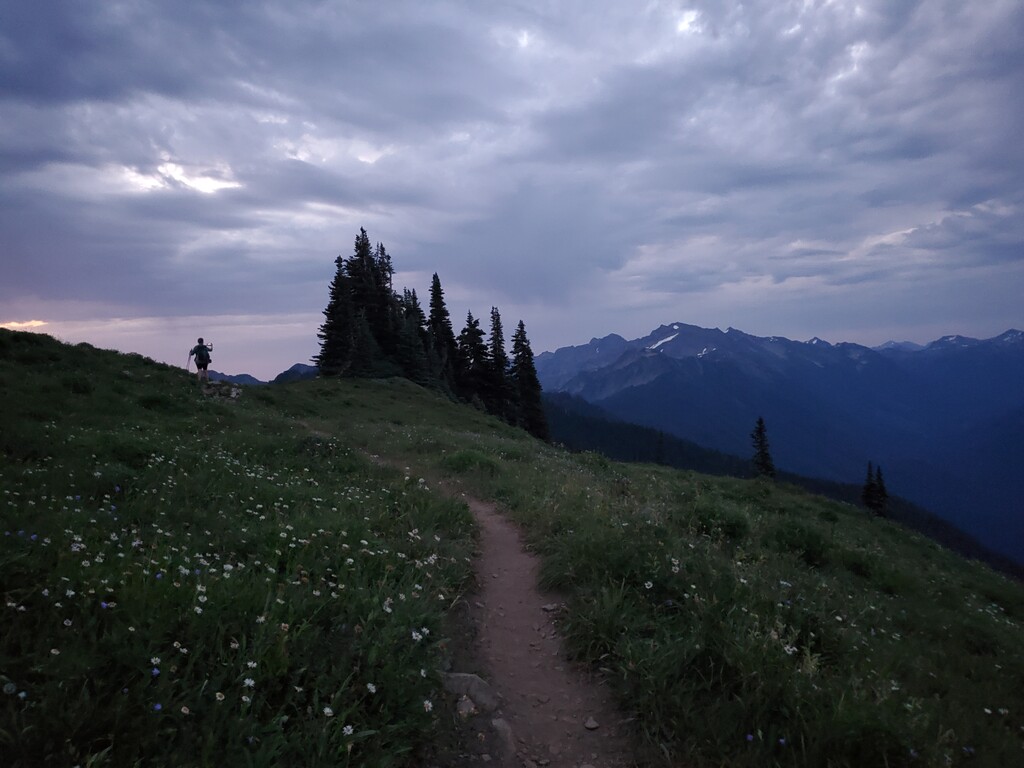
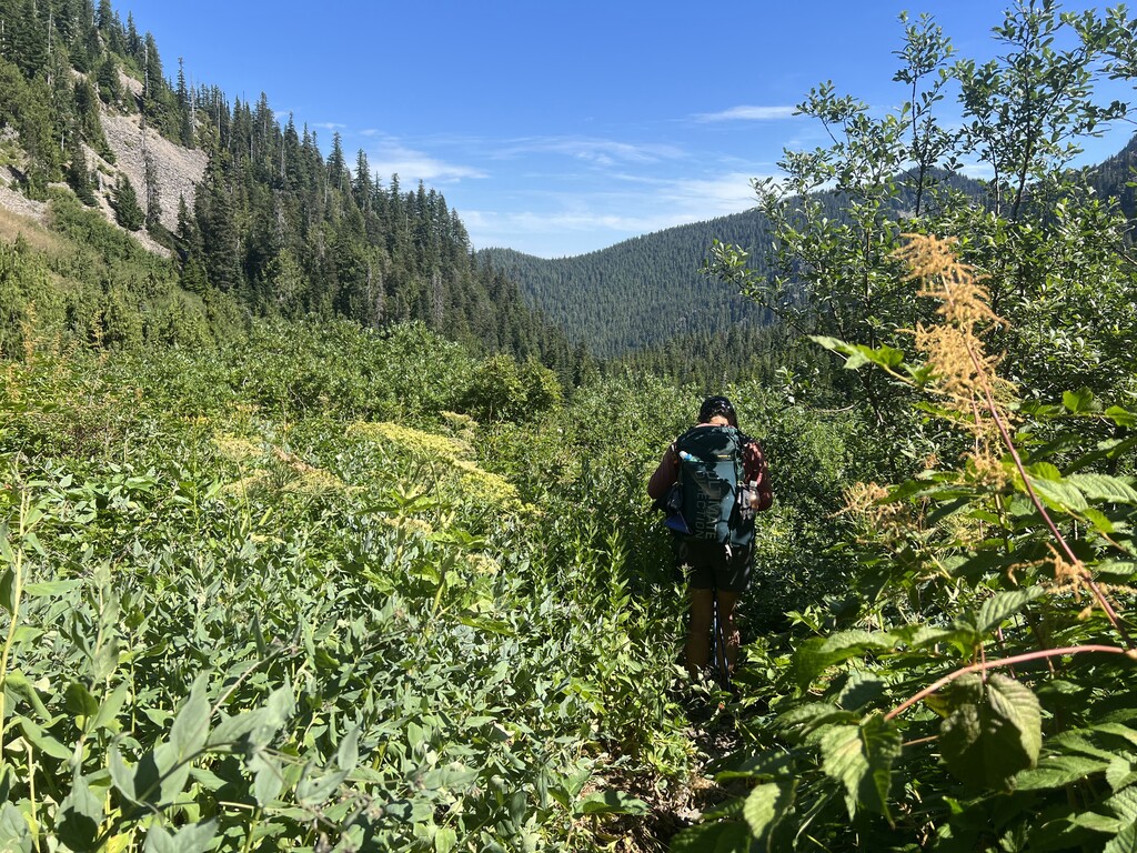
- First real views of the Olympic Mountains once we got on the Low Divide trail
- This was a short day, because pushing further would have required at least another 13 miles and 5000’ gain to get the Appleton Pass (outside the quota area)
- Saw deer in camp!
- Were concerned that we were not going to be able to finish in 6 days if we could not get big miles in the next day, so we started planning a supported effort that would result in us getting a resupply from a trailhead near Whiskey Bend. If we had not been able to make it to Whiskey Bend on Day 5, then we would have had someone meet us to get us more food.
Day 5 - Deer Lake Camp to Whiskey Bend Horse Camp https://www.strava.com/activities/7675018755
- 3:11am start from Deer Lake Camp
- Missed the beautiful views of the Seven Lakes Basin because we hiked out in the dark but did see some glowing eyes watching us (we think it was deer)
- Implemented another 15 minute trail nap for Teri at Heart Lake
- Saw a bear in the meadow below Heart Lake
- Coming down Appleton Pass was rough! It was clear that this section of trail had not been seen by a trail crew for at least 3 years. Lots of ankle twisting rock obscured by 10ft tall brush - like hiking down a brush filled creek bed
- After going over Appleton Pass, we only saw two more people the rest of the day (camping at Boulder Creek CG)
- The afternoon temps were very high making for a cranky Teri and did not cool off until late in the evening
- The road walk from Boulder Creek CG to Whiskey Bend Horse Camp can make for some smooth, quick travel
- Evening dinner stop in the middle of the (closed) road going to Whiskey Bend Horse Camp
- Stacey startled a bear along the road into camp.
- Feeling confident after the solid day, we decided to not worry about a resupply and make a strong push to finish
- Settled in for four hours of sleep at Whiskey Bend with the spiders and ticks. There was another group in camp, but they were in their tent before we arrived and when we left
Day 6 - Whiskey Bend to finish https://www.strava.com/activities/7675098470
- 3:14 am start from Whiskey Bend Horse Camp
- Easy trail all the way to Hayes River Camp
- Stopped at the (closed) Hayes Ranger Station for lunch and a short trail nap before heading over Hayden Pass
- Hayden Pass - The trail grade was reasonable and the first four miles are in good condition coming up from the Elwah River Valley. The upper section was littered with blowdown, overgrown brush and holes in the tread through the Hayes Two (2016) burn scar
- Stopped at Dose Meadows Camp for a short break, dinner, and food management stop.
- Trail from Dose Meadows to the Gray Wolf junction is overgrown and full of marmot holes, making for slower going
- Decided to make a final push to the finish. Stacey takes off too fast and then crashes in a exhausted grumpy mess, leading to a one hour trail nap near Dosewallips Ranger Station at 2:30am
- Navigating out of the Dosewallips Ranger Station to the road can be difficult in the dark as most people come in from the other direction so use trails over big blowdown can be hard to locate and multiple trails make for confusion.
- The road walk seemed to last forever, but the Dosewallips River is gorgeous!
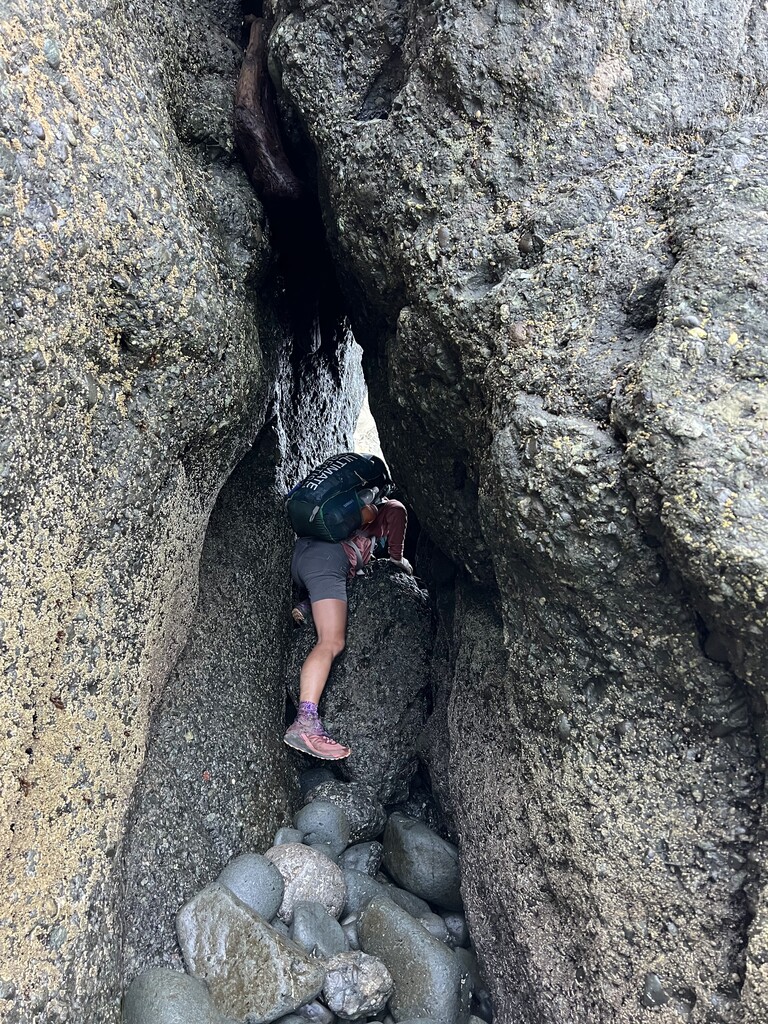
- One final rope climb (because why not?) where a landslide took out the old road completely. There was also fairly fresh blood on the rocks which helped us pick up the pace a bit.
- A few sketchy vehicles and encampments along Dosewallips Road
- A few rural dogs barked at us and greeted us in a less than friendly manner. Luckily none got too close
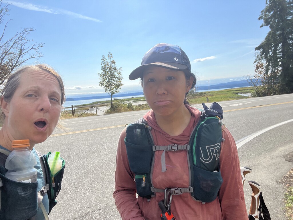
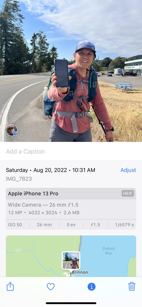
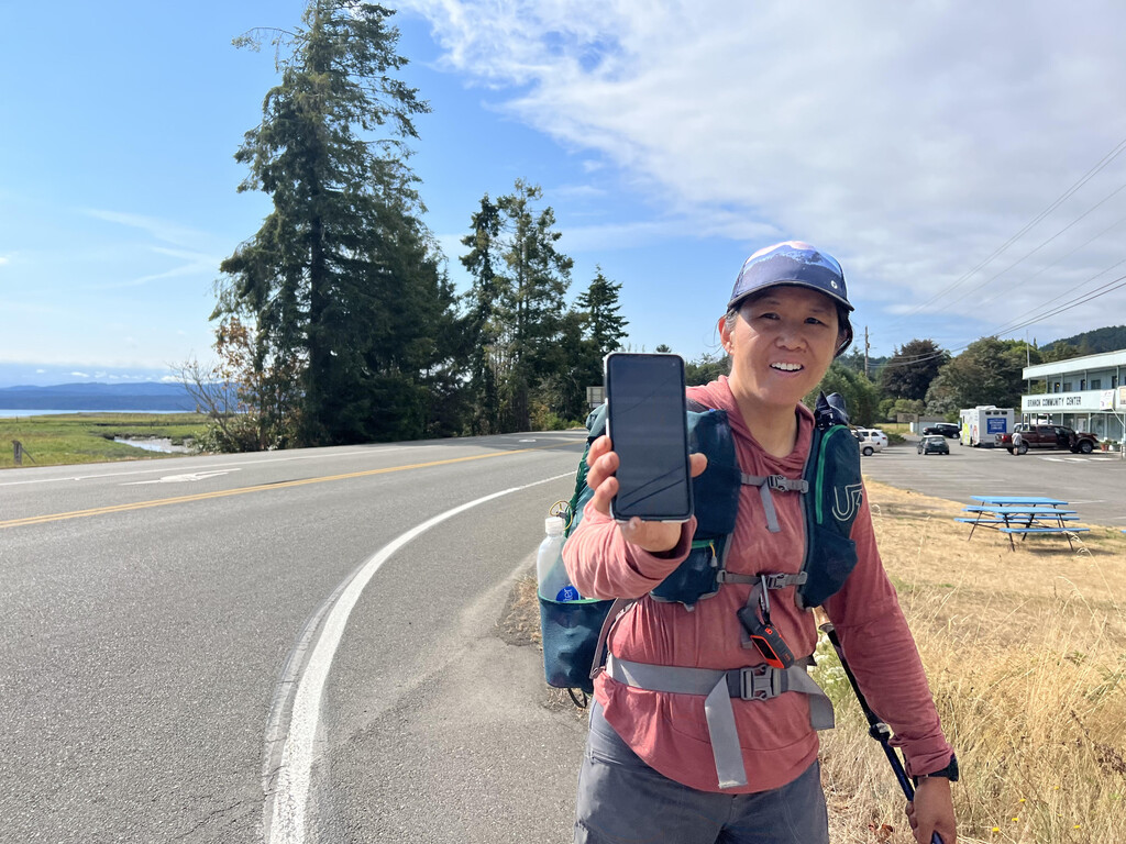
- 10:31am finish at Dosewallips Rd / Hwy 101 in Brinnon, WA
- Stacey’s partner met us at the finish with our requested cold drinks and pizza. We start the long ride home.
Stacey’s notes - the hardest part of this for me was the mental aspects once I got too tired. I have a professional reputation for being as cool as a cucumber under pressure, but once I’m past the point of exhaustion, that goes out the window and I get grumpy, irrational, short and sometimes mean. I’m also very team driven, so when Teri would ask “What is best for you?” in certain situations, I really had a hard time answering the question. I work in a very collaborwise manner, so when I feel communication and collaboration are not to my expectation, I can get frustrated with the situation. Likewise, I can get very focused on prioritizing the success of my team (in this case a time goal) so much that I often forget to take care of myself and can tend to push others too much if I don’t know where their boundaries are. Also, I feel that I could have put a better effort into planning, but with my time divided between professional responsibilities and other personal projects, I ran out of time. This was my second FKT attempt and the first of something this magnitude, so were mistakes made? Absolutely, but I feel this was a solid and competitive effort that I can be proud of.
Teri’s notes - The hardest part of this challenge for me was managing all of the challenges I bring to the table from a physiological point of view. I run warm naturally, which means I sweat early and often. Because we had very warm weather, I was having to stop and cool myself, dunking my shirt in the water, wetting my head during the warmest parts of the day. This meant I was always wet, leading to chafing and blisters on my feet, which then also had to be managed. Being part of team, I was torn between advocating for myself and for advancing the team goals, which often felt at odds. I would put more time into advance planning if I were to attempt something like this again, spending more time discussing our strengths and weaknesses and working on forging plans that took these things into account.