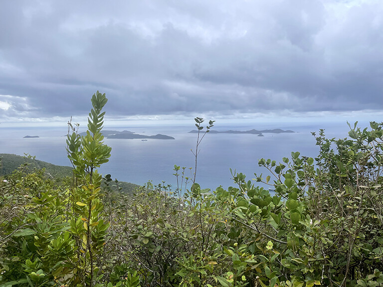
Mt. Sage is the highest point in the British Virgin Islands, at 1709 ft above sea level.
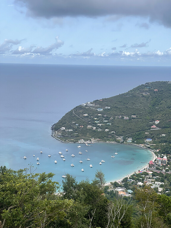
This route starts at the ocean in the most beautiful bay in all of Tortola, Cane Garden Bay, and climbs steeply to the summit of Mt. Sage, around some rugged trails in the National Park with amazing views, and back down to the ocean.
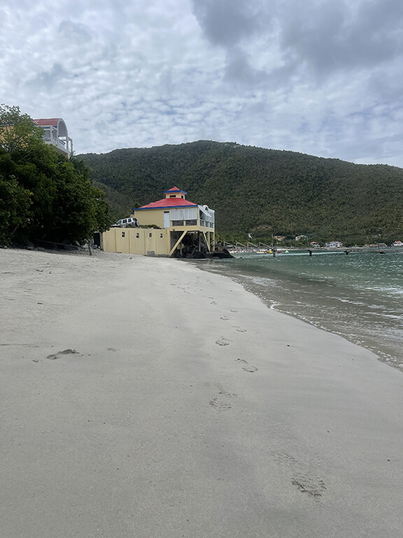
Start at the water on the public beach just to the north of the small dock and north of Quitos Inn. Head south along route 1 up to Stoutt's Lookout, then up ridge road, turn right and head up Sage Mountain Road to the national park. The trail goes up the concrete steps directly below the cell tower, past the tower and up into the jungle.
Follow the JR O'Neal trail out and around to the south trail and return on the north trail until you get to the gate and follow the signs to the summit (not well marked but there are signs, gps track will get you there) The summit is pretty non-descript with a bench and a small concrete pad. Then head back down the same way you came up. Then go for a swim to cool down and celebrate with a painkiller or a Carib beer!