The Grenivik Super Loop starts on the edge of Grenivik on a small dirt patch. To get to the start point, drive out of town north on the road named Grenivikurvegur until it begins to be rough, only about less than 1km from the town edge. Park vehicle on the left side of the road. This is the official start point - you'll head straight on the road ahead until it begin to deteriorate, and pass some old grass huts on the right side. You'll skirt the ocean to the left, and parallel to the other fjord to the west.
Continue on this path as far as north as possible - you'll virtually end up on a single-track about 4-6 inches wide at some points, rising in elevation. Once you hit a summer outpost shelter on the water, you'll bear right, follow the trail into the rising ravine and up a steep mountain face, tracks will guide you up the switchbacks. Once you summit, you'll descend down into a valley flanked by large mountains on each side - run to the ocean again and bear east and south to head towards F-839. You'll cross a water bridge right before you obtain the road. From here - take the road straightforward south all the way back to town. Your end point is back at the small plot of dirt/gravel where you parked as you finished.
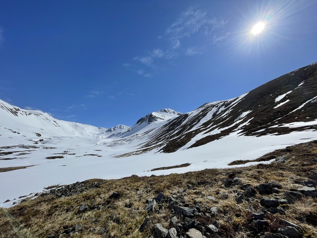
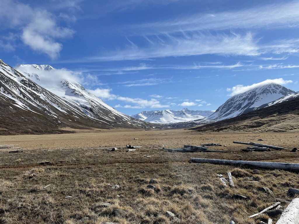
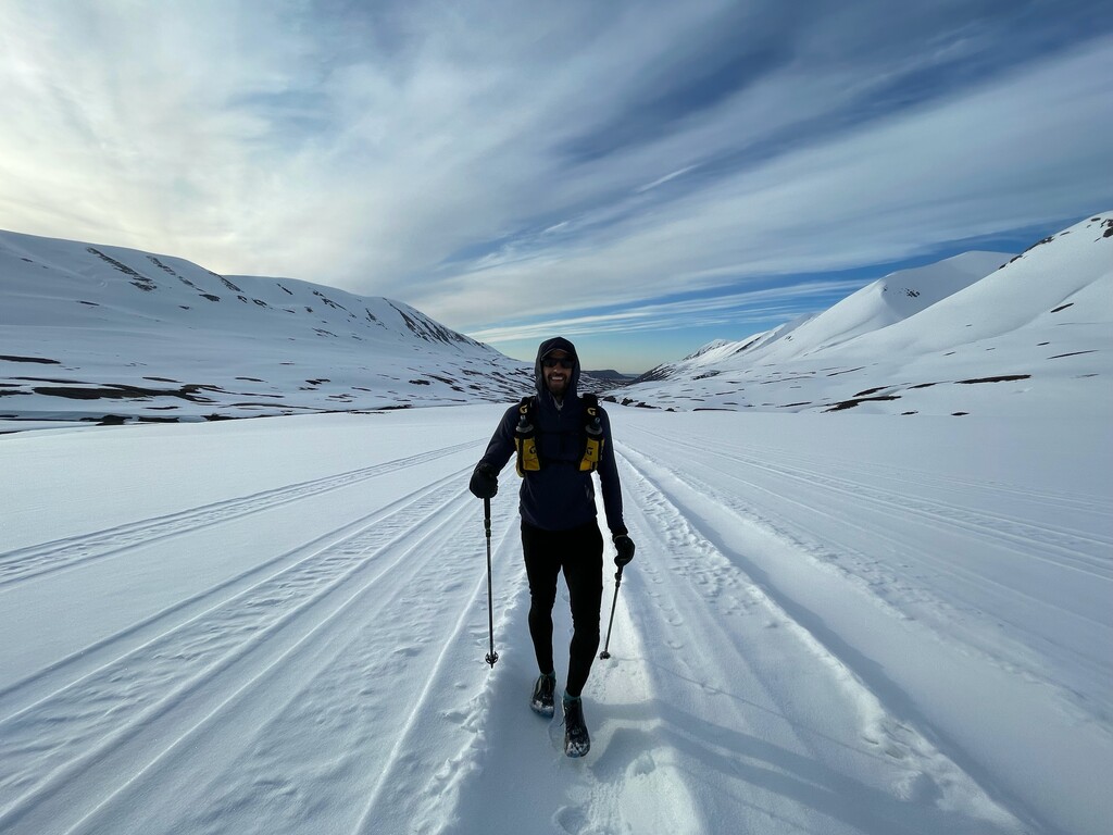
Notes: This route is not heavily trafficked and should be treated as wild and unpredictable. It is beautiful, and right near the city of Akureyri which can serve as a base with resources and nutrition. This route is a patchwork of a few different trails, herding paths, and roads. Route finding will be key. Jamie and I set this route in early May, and it still was probably 60% covered in snow. Summer conditions are recommended.