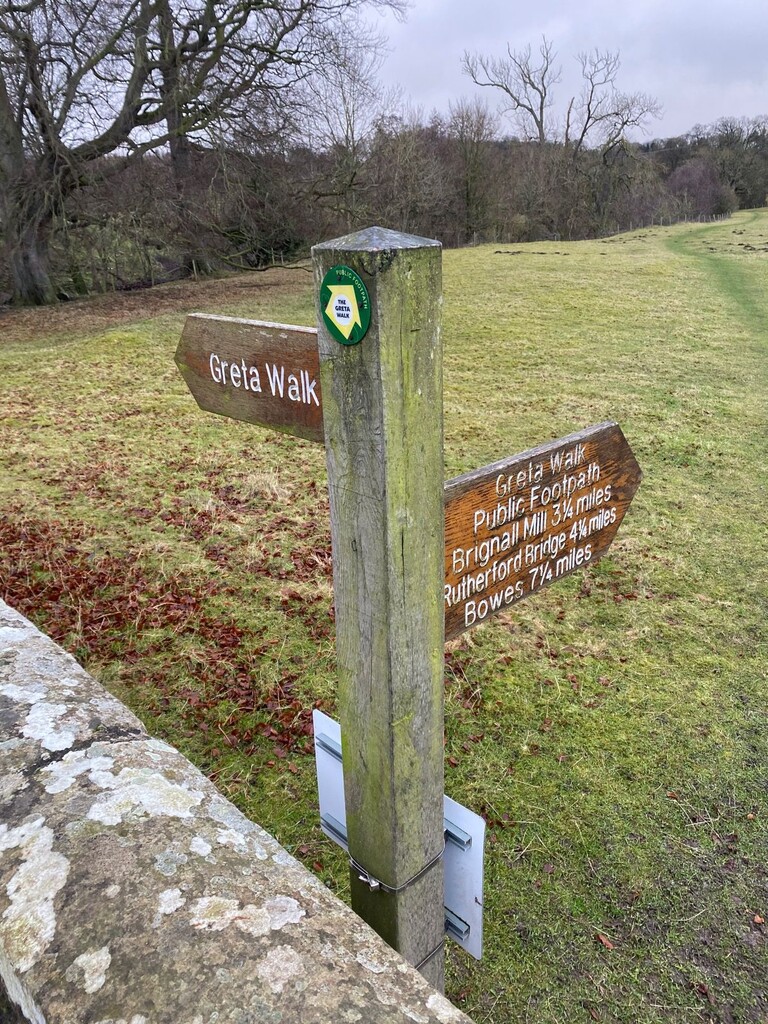
The Greta Walk Circular - 11miles - 1200ft elevation
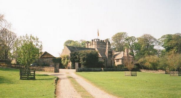
Starting and finishing at the 14th century manor house 'Mortham Tower', this rugged, way-marked, trail takes you along the banks of the River Greta in County Durham. A mix of fields, rocky paths and tight single track trails take you to the half way point at Rutherford Bridge. The second half has very similar terrain but incorporates some sharp climbs and descents away from the river bank. Emerging out of the woodland cover at approx 8 miles, the route takes you through a farm yard & along the farm track before descnding down the road & embarking on a steep ascent & descent to the finish.
The route provides a stunning variety of terrains that makes it a lot more challenging than it's length or elevation may suggest.
The start point is best accessed by following the route from Greta Bridge; no access via vehicles to the start point.