Location
Arizona,
US
Distance
7.18 mi
Vertical Gain
3,002 ft
Description
GPS Track
MountGlenn_2.gpx2.08 MB
FKTs
Female
Male
| Jessica Jones | 2h 18m 56s |
| Brandon Latimer | 2h 21m 3s | ||||
| Brandon Latimer | 2h 52m 45s |
Male
| Brandon Latimer | 1h 18m 5s |
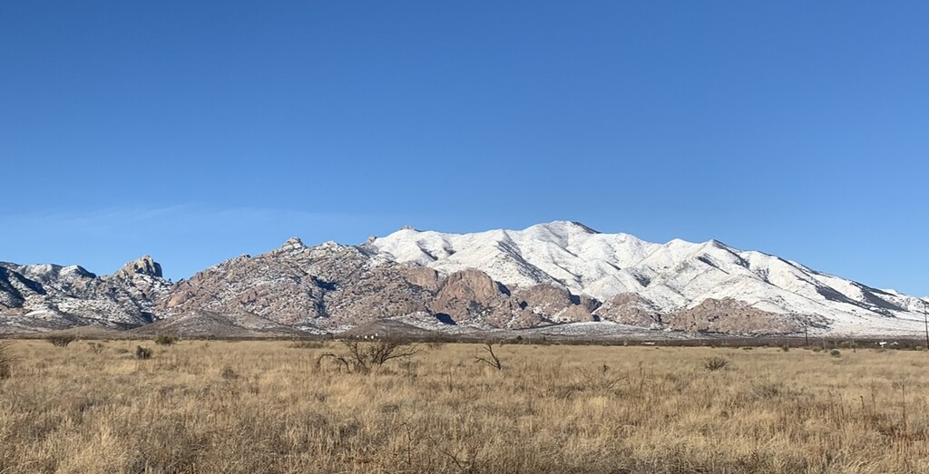
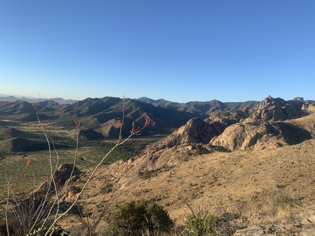
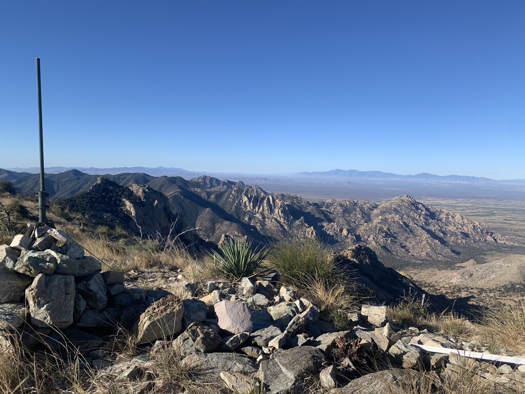
Images