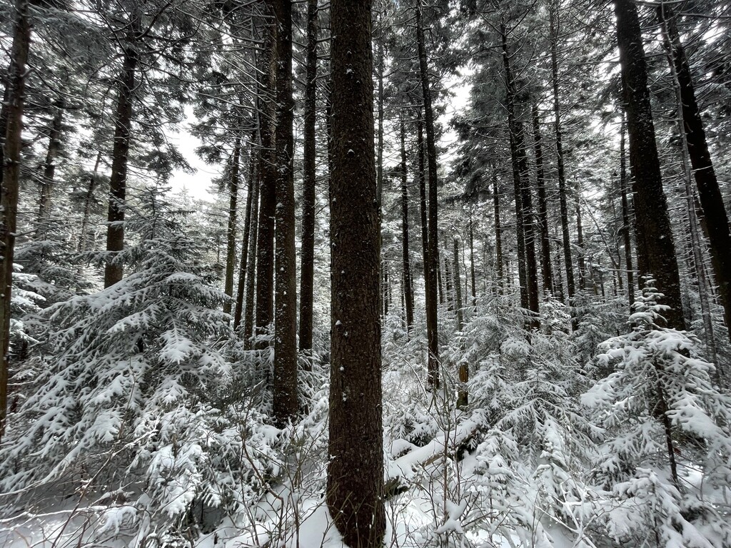
Mount Porte Crayon is the 4th most prominent mountain in West Virginia and the 6th highest peak in the state, located in the Roaring Plains area of the Dolly Sods wilderness. The summit’s high point of 4,770 feet is attained by following the Flatrock Run trail for approximately 5 miles, then bushwhacking for about a mile through rhododendron and thickly populated red spruce trees that stand shoulder width apart. The elevation gain is over 2,300 feet.
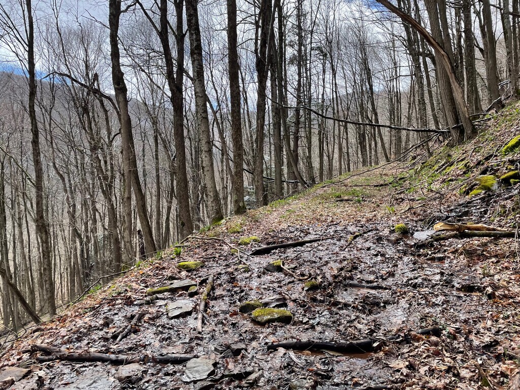
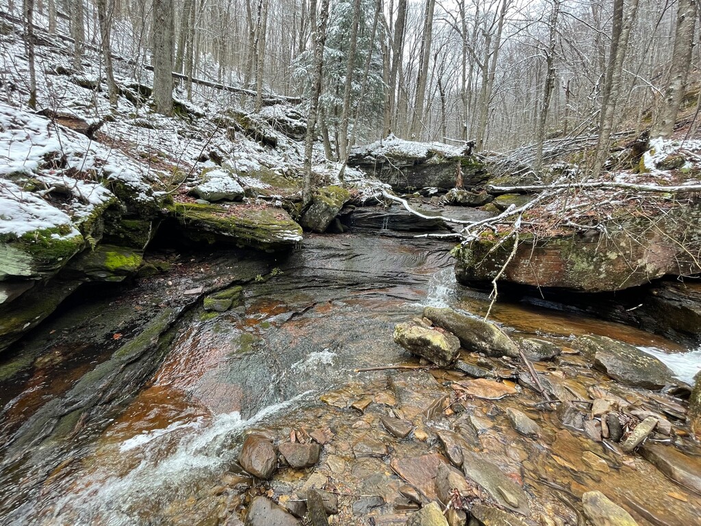
This mountain was named and dedicated in 1940. Porte Crayon was the pseudonym of journalist, illustrator, innkeeper, and topographer David Hunter Strother who also served the Union during the Civil War. The Nature Conservancy protects the area south of Mount Porte Crayon’s summit for its biodiversity. It is home to the WV northern flying squirrel and the Cheat Mountain salamander. Highbush cranberries grow in this area among a vast array of plant life. The area is usually muddy, boggy, and abundant with stream crossings. At times, the trail seems like a stream itself. Thorns are common, along with stinging nettle and rattlesnakes. Hikers are warned to wear pants and long sleeves even in the heat of summer in the Roaring Plains and while hiking Mount Porte Crayon.
The mountains in the Dolly Sods and Roaring Plains area are known for unpredictable weather patterns, and they can be covered in snow most months out of the year. Many of the tall spruce trees are flagged due to extremely high winds from the west. Typically, fog and cloud cover remains at the top of these mountains.


Comments
Nice work y’all! Might go give it a shot tomorrow! 🤘