Location
California,
US
Description
GPS Track
Mt_Langley_via_NE_Couloir__0.gpx955.59 KB
FKTs
Male
Mixed-gender team
| Dave Pomeranz | 4h 10m 39s |
| Tommy Sullivan, EmKay Sullivan | 4h 33m 14s |
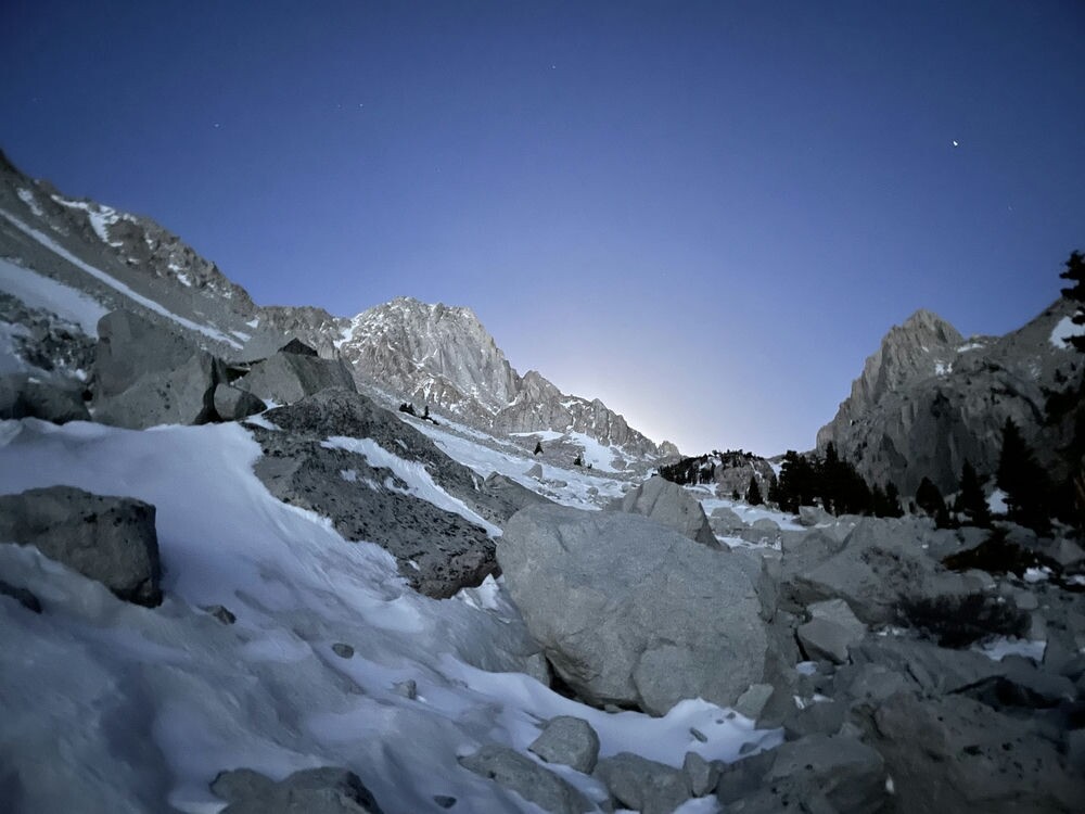
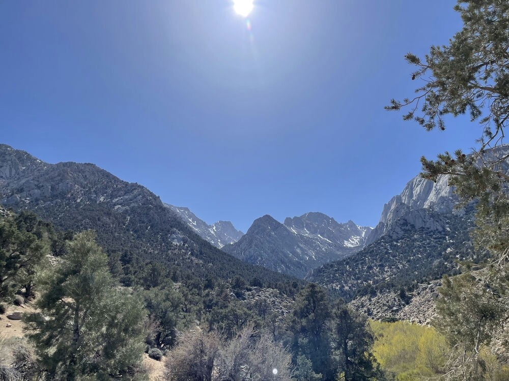
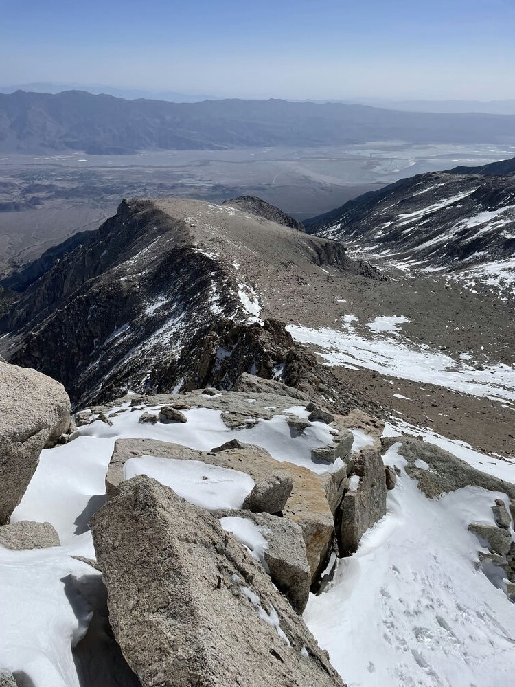
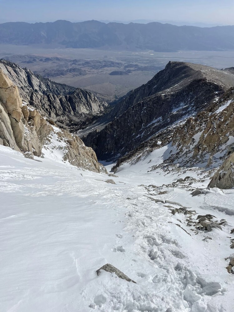
Images
This route on the old FKT site
Comments
Made an attempt on this last week and got crushed on that last ascent. Final mile is no joke with Altitude plus steep terrain.
I thought this time would be easier, but I was dead wrong. Coming back more prepared next time.
Side note, don't start from the camping area trailhead. It adds an extra mile or two. Make sure you start from the day use area.
Total time: 6:30 (I didn't really push the downhill button due to summitting in 3:10). Gotta enjoy a lake swim ?
Small world - I had a very similar experience this past week as well! Glad you made it down safe - that route is no joke.
I attempted this on Friday, 7/31/20, following the direct route that takes on the class 3/4 terrain behind Cottonwood Lake #5.
Be warned that the terrain is VERY technical - a fall would be fatal from the climb behind the lake and up the final ascent. If you attempt this, scout it out first and make sure you know what you are doing. The route is doable, but know you will be scrambling/climbing these sections (not running!), and you will be dealing with altitude, wayfinding, loose rock and big drops. There are two snow caps that you'll need to climb as well. I used a rock to chip hand and foot holds in the ice, but you'll need much more than that if attempting this outside of July or August.
The last mile destroyed me on this attempt. My previous highest altitude was 11k - hitting a 14k took its toll. I came back down Old Army Pass rather than attempting the down climb - this added a few more miles but was much safer given that the altitude was really starting to hit me. My total time was 6:52. The lake swim is a must :).
A more run-able route is up New Army Pass (That route also has multiple Strava segments. It looks like Tim Freriks holds several KOMs on that route and a total time of 3:52:59 for 24.01 miles). Old Army Pass is another good route (though less maintained and subject to rock slides).