Location
Washington,
US
Distance
14.8 mi
Vertical Gain
2,987 ft
Description
GPS Track
TMT out and back.gpx166.47 KB
FKTs
Male
Female
| Evan Williams | 2h 4m 22s | |||
| Bryan Bhark | 2h 10m 15s | |||
| Adam Frye | 2h 16m 28s |
| Claire DeVoe | 2h 15m 15s |
Male
Female
| Ben Brown | 4h 39m 46s |
| Greg Kroleski, Abram Elwell | 7h 10m 23s |
Images
Comments
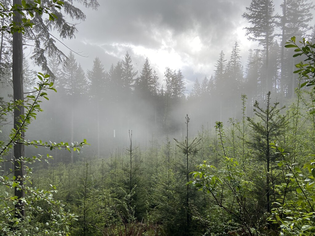
Ran the Tiger Mountain Trail from N to S, starting at 9:45 on a Sunday morning (11/13). As mentioned in the headnote, the trail has been rerouted due to a clear-cut at the top of the mountain. There may be an additional detour on the approach to the summit for restoration. It's unclear to me how recent that work is--it seemed like a relatively new sign.
I tried to run the full trail this summer but lost the trail in the clear-cut. Today there was snow at the top, which slowed the pace considerably, but made it easier to see the trail and navigate around the summit. Running this late in the season was helpful on the descent, as the vegetation was less dense than it seems to have been for others.
Finished in 2:45 and hope to try again in the future!
Made an out and back unsupported attempt on 9/9. Wasn't familiar with some of the trail and missed a turn that added some extra distance. Came in it at 31.5 miles and 7:13, but I dialed back the pace quite a lot (frustration walking) the last few miles knowing I wasn't going to make the 6:30 I wanted. Will be going back soon to make another go at it.
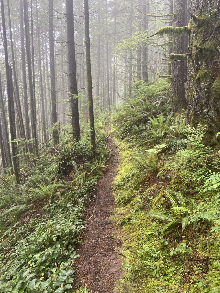
The trail through the clearcut on the ridge is fully rebuilt now, all intersections were marked with a TMT sign of some kind. About 1/3 of the trail is very overgrown on the south side of the mountain which is a bummer. I filtered water at 15 mile creek both ways, as this is the only water source on the south side this time of year, there are a few on the north side. Because of this it might make more sense to start from the south if doing an out and back. Including my bonus miles, it was close to 15 miles between fill ups which is less than ideal.
Also despite WTA's short novel that is the trail description, their claimed elevation gain is wildly off. As far as I can tell it's somewhere between 6500-7000 ft