
Anza-Borrego Traverse FKT by Gabe Peterson and Tim Cronk
I became intrigued with the idea of an Anza-Borrego Traverse earlier this year. It always seems like a different world from San Diego just a two-hour drive away, almost like a slice of southern Utah. I studied the park map to come up with a route that was off-road. I could find no accounts of a running Anza-Borrego Traverse, so we may be the first.
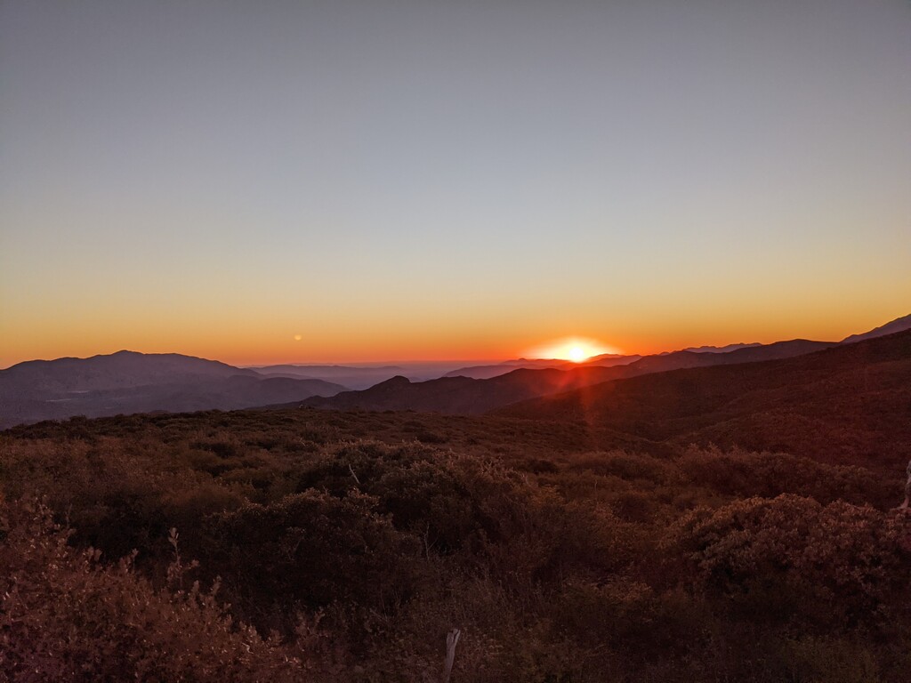
I and Tim Cronk started at 6:00AM from Sunrise Trailhead parking lot. Most of our scouting of the route was watching YouTube videos from off-road vehicles that had driven parts. Since we did not have a clear picture of what was ahead, our strategy was to go conservative.
We followed the route almost exactly as described in the FKT route with two minor deviations.
First, at about mile 10, the map had shown a trail that went directly across to the S2 road. That trail does not exist now, if it ever did. We stayed on the jeep road that took us south about a quarter of a mile. Then we ran along the shoulder of S2 until we connected with the trail that meanders through a wash on the east side of the road, eventually connecting to the California Hiking and Riding Trail.
Second, as we approached Blair Valley at around mile 14, the California Hiking and Riding Trail cut straight across the valley. The route I originally created followed the jeep road that arced around the valley.
The results of the first detour being longer and the second being shorter ended up roughly cancelling each other out in terms of the net mileage. I would recommend anyone else taking this route follow these changes.
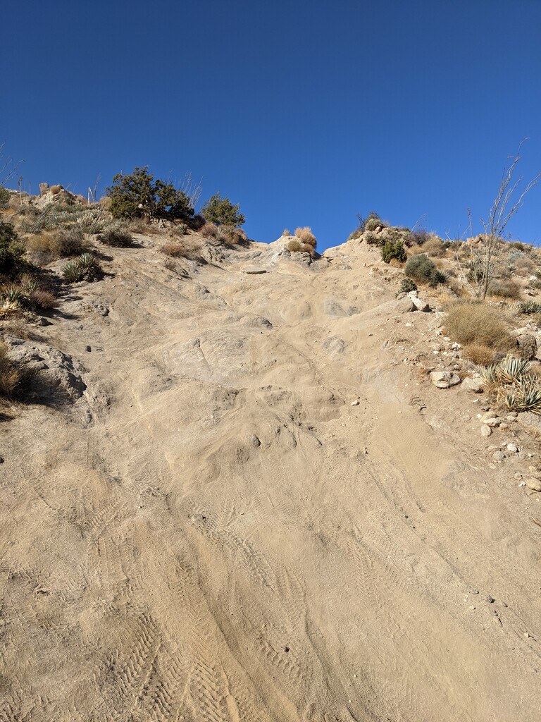
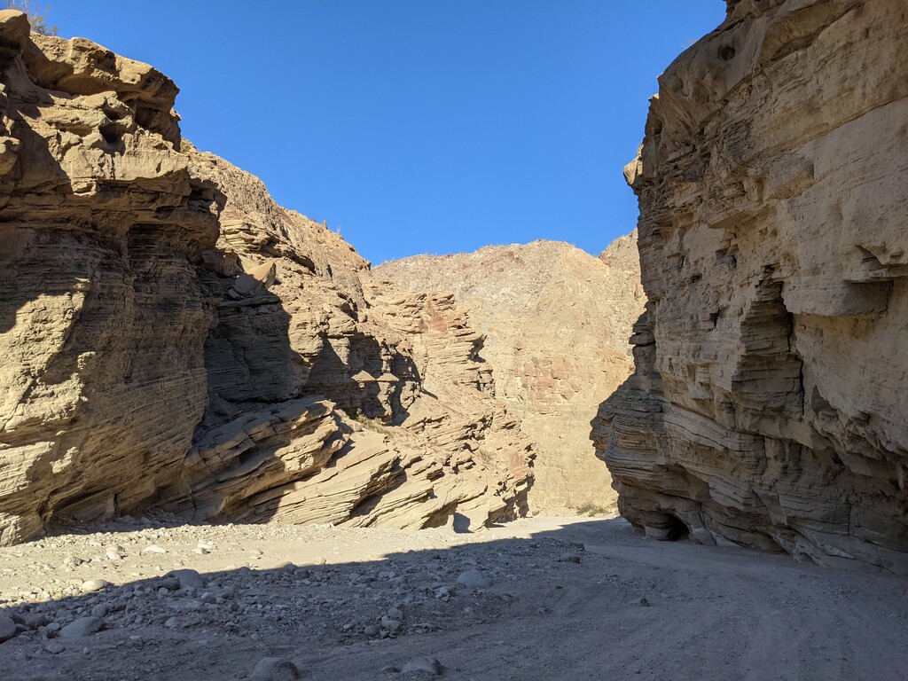
We cached water the afternoon before around mile 16 where the California Hiking and Riding Trail connects the Pinyon Mountain Road (really a very rugged jeep trail). We each topped off with 3.5L for the 29 miles to the finish. An alternative to caching water would be to make a detour to the Stagecoach RV park, but that would add about 2.5 miles round trip. There is absolutely no natural water on this route. Do not attempt the section through the Pinyon Mountains to Fish Creek Wash without ample water or support. The ideal support vehicle would be a dirt bike. I do not see how even high clearance 4x4s could make it through the Squeeze and down Heart Attack Hill. We encountered riders on dirt bikes at Heart Attack Hill and even they had a hard time with it. A vehicle is likely to flip over forward.
From about mile 30 onward was soul sucking sand. We often had to navigate along the side where vehicles had not churned up the packed sand. There were many off-road vehicles that last 10 miles. A supported option would be to have crew drive about 10 miles up in all-wheel drive vehicle. Farther up would require a high clearance 4x4.
We finished the Anza-Borrego Traverse in 9:46:34. This is a spectacular route that I hope other ultrarunners will attempt. It takes you into some amazing and remote areas.
You can see the highlights from the trip in this Relive video: https://www.relive.cc/view/vPOpN5GBmEq