For a couple years off and on we’ve been trying to come up with a good peakbagging list for Arizona. Then, when a possible government shutdown threatened our planned adventure this October, we started looking for backup options and noticed that a group of college students had already done the work of creating an Arizona peakbagging list, back in the late 1990s. So, about a week before our trip, and after some research to make sure all of the peaks were still accessible, we decided to tackle this list instead. We knew there was going to be an annular solar eclipse (“ring of fire eclipse”) passing over the NE corner of the state on the morning of October 14. I already had a plane ticket out to Arizona on October 8, so starting the next morning would give us five days to finish before the eclipse.
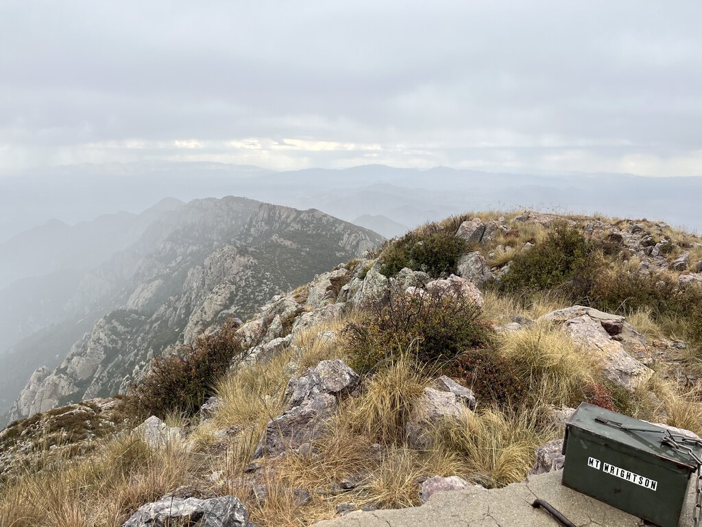
Day 1: We started at 6:07am on October 9 with the Huachuca’s. We knew this would probably be our biggest day of driving (more than 8 hours) and we wanted to get a lot of that driving out of the way early. Working south to north would also put us closer to the eclipse on Saturday. Carr and Miller were beautiful with fall colors! We waited about 45 minutes for a lightning storm to pass on the col of Wrightson. This would be the only weather delay we would have. Then we drove up to Lemmon, starting in the dark, before finally finding the official register north of the telescope. A man came out of the telescope and asked us if we could please point our headlamps down, as I was inconsiderately disturbing his evening of stargazing. We took turns driving back to the house that night, quite sleepy, wondering what we had gotten ourselves into.
Day 2: We got a later start than we wanted on day two, and then spent an additional 20 minutes helping a family with a broken down truck camping up in the Chiricahuas. We knew this would be our longest stretch without a resupply, roughly a 50k without any reliable water sources (about 3 ½ liters apiece). We made a last minute call to drive a rougher road that would save us some elevation gain later on foot. We saw no one else the whole time we were up there. This range is gorgeous and has so much potential for adventures. Two of the peaks had some bushwhacking. We startled a rattlesnake on Snowshed (which sounded disturbingly similar to a cricket) and came across a mountain lion kill on our way out to Chiricahua peak. Several hours later, we were both running the math in our heads and realized at about the same time that we would be pushing it to make it past this mountain lion kill again on the way back in the daylight. We did, but just barely. We made the decision to stay at the house again this night, which we later regretted, but it was nice to get almost a full night’s sleep before heading north. We would be camping from here till the end.
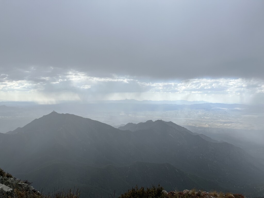
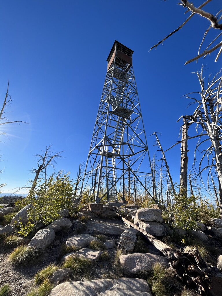
Day 3: We had another late start on day three, before tackling the Pinaleños. We knew Clark would likely be the most challenging so we did that one first. The road out to Clark was rough and slow. Clark is one of the peaks where it can be challenging to get enough ascent. We chose a trail that we thought would take us low enough but the trail that was on multiple maps simply disappeared into a thicket of brush. Eventually we bushwhacked down a steep slope to get enough ascent on the way back. There must be a better way. Webb and Heliograph were both fairly short and easy. We hit Heliograph as the sun was setting, casting a shadow of the ridgeline on the valley below. We camped at a free, empty, official campground just north of Morenci.
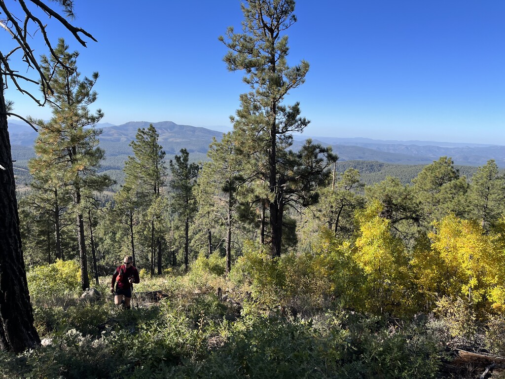
Day 4: On day four some of our sentences stopped making sense. We had imagined Blue Peak would be one of the more challenging summits of the trip and we were right. The trail doesn’t see much use. Escudilla was beautiful and straightforward, except for some blowdowns from a fire near the end to reach the true summit. Baldy was beautiful but the sun set as we were around 10,000’. We heard some elk that evening as we ran back down to the car, and we smelled another one. We stopped at Taco Bell that night, which later turned out to not be a great idea for me, then found dispersed camping in the national forest near Show Low.
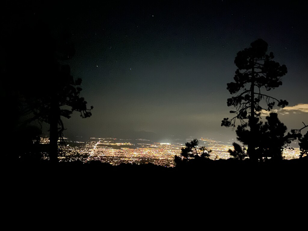
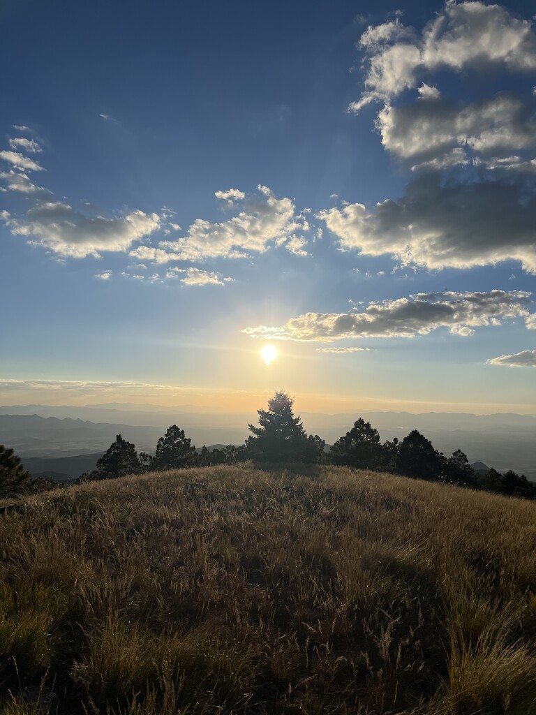
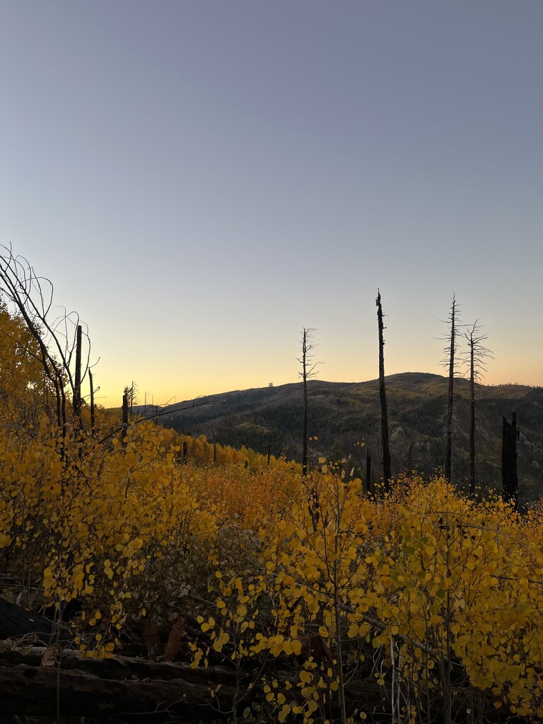
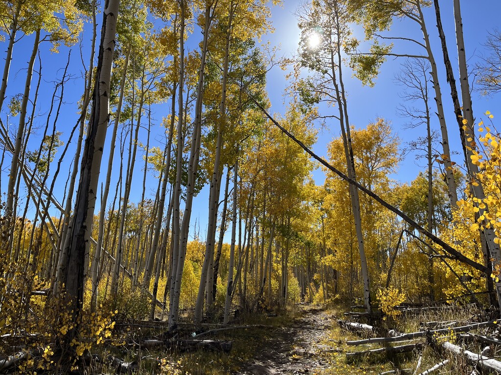
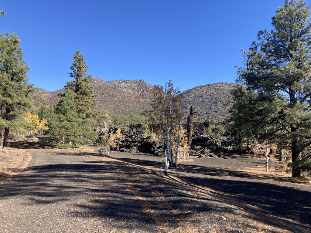
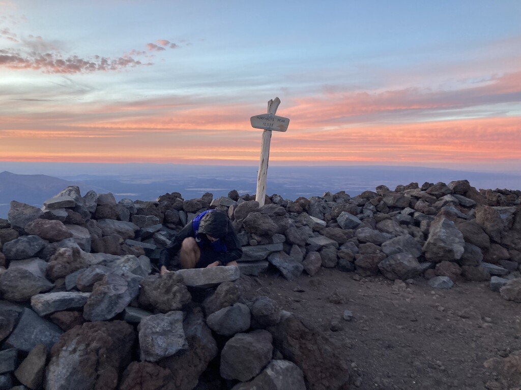
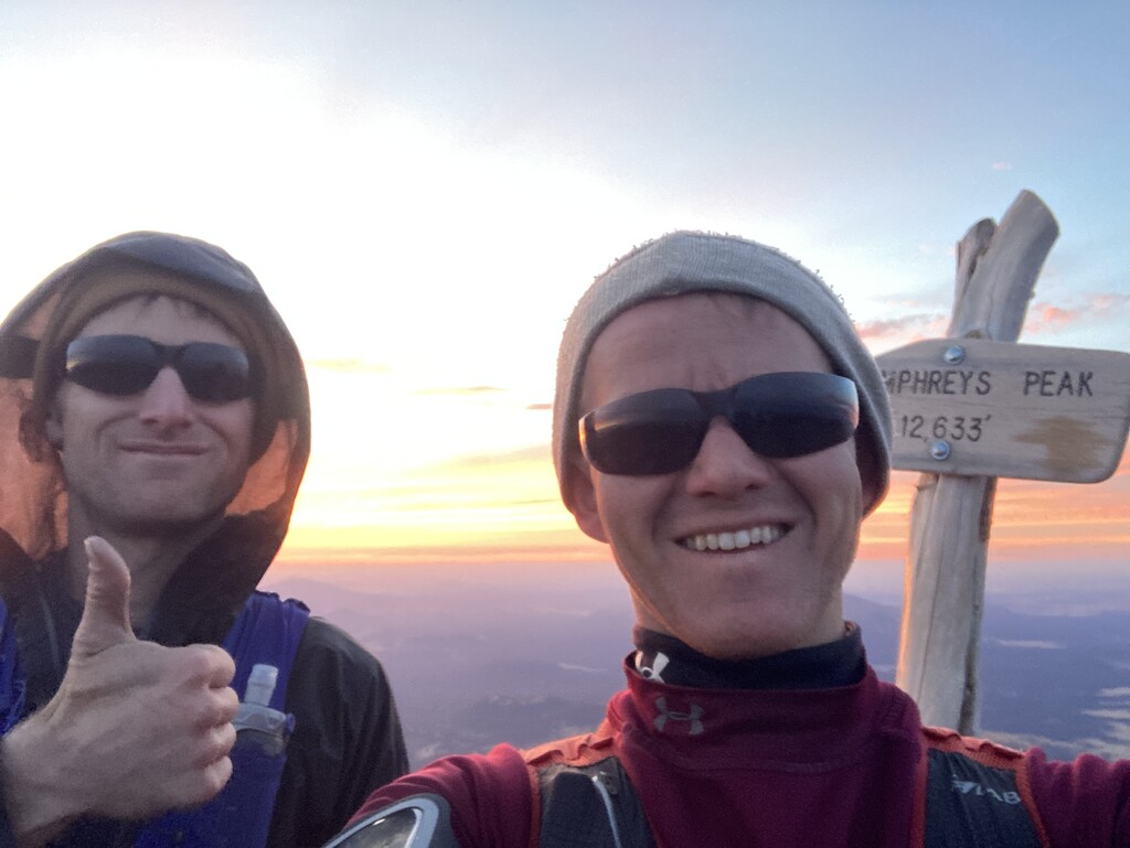
Day 5: Our last day started with a 2 ½ hour drive up to the volcanoes near Flagstaff. I’m not sure either of us thought we would finish in time to see the eclipse. We had roughly 40 miles left with 13,000’ of elevation gain, plus driving, a big day if we had been well rested. O’Leary was beautiful and secluded. We made sure to go left at the col to reach the true summit (not the lookout tower). Elden was warm and busy. Humphreys was also busy (the fall colors were near peak) and we had to push to get off the summit by dark. We ended up seeing an incredible sunset up high in the cold wind. We also ran into Peter Mortimer who was preparing to start at midnight an attempt to summit Humphreys something like eight or 10 times in 48 hours. He later quit after two summits but is well on his way to his goal for the year of 52 summits.
Kendrick was a long dusty slog in the dark. We were both ready to be done. My contact lenses were getting super dried out, so I took them out when we got back to the car. Brandon drove to Williams and I followed him up and down the last peak with my less than perfect eyesight. We finished about two hours before we needed to leave for the eclipse, at 4:07am on October 14.
In all, we covered about 135 miles on foot with 37,000’ of elevation gain, plus roughly 1050 miles and 26 hours of driving. This would have been self-supported, except for brief interactions with family on the first and second nights. Fully supported could be much faster. Please be careful driving if you attempt to do this solo.
We signed the registers on every peak that had one (13 of them, plus a partial register on Blue that should be replaced). Our A goal was under four days, with five days being a more realistic B goal. We finished in a time of 4 days, 22 hours (pretty much to the second). I imagine we could break four days now, especially if we had someone driving us around so we could sleep. Local knowledge is so important on this route. We were very happy with this time, especially considering our training and illness/injury going into it. We are fairly certain this is the FKT by far. We found a few people online who have summited every peak but no one who has tried to do it for time. I had only been on two of these peaks before; Brandon had been on eight of them. This was a great way to see new parts of an incredible state. It’s certainly one of the more enjoyable adventures either of us have been on.