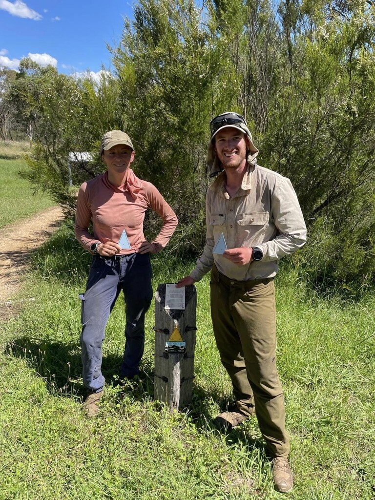
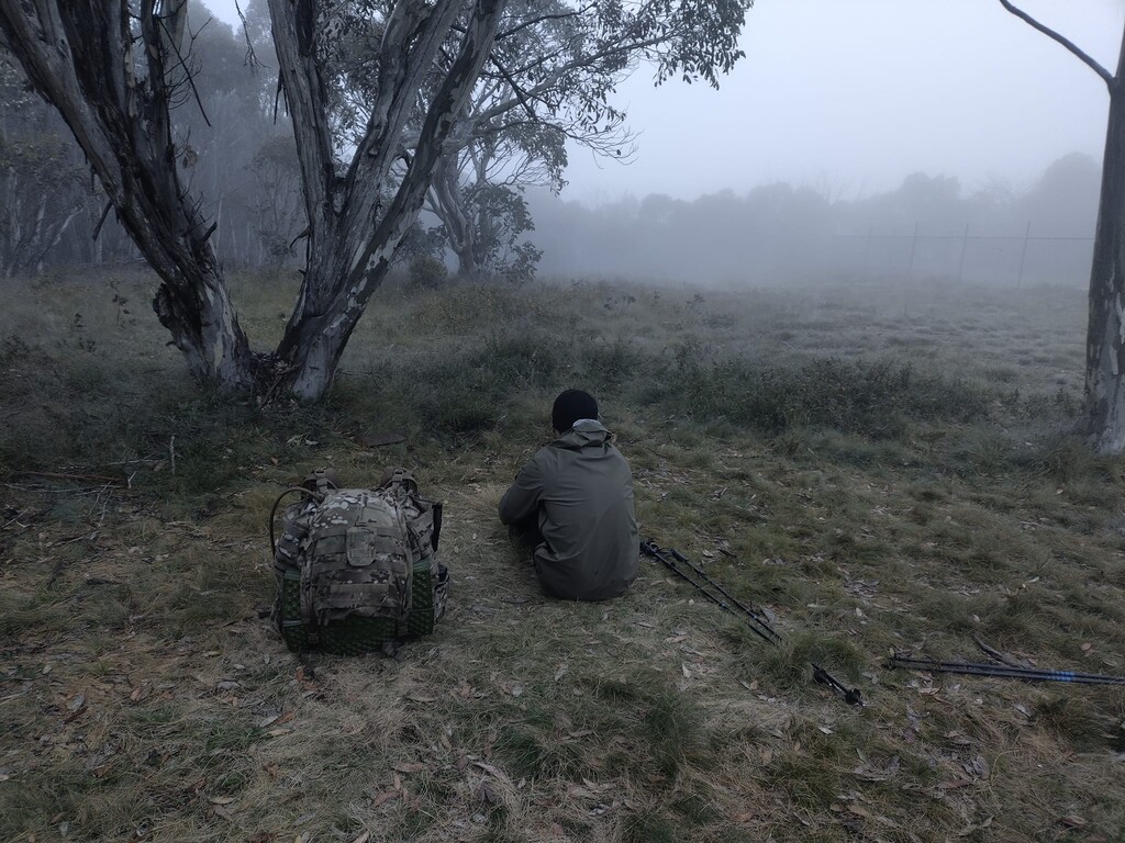
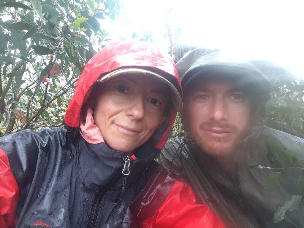
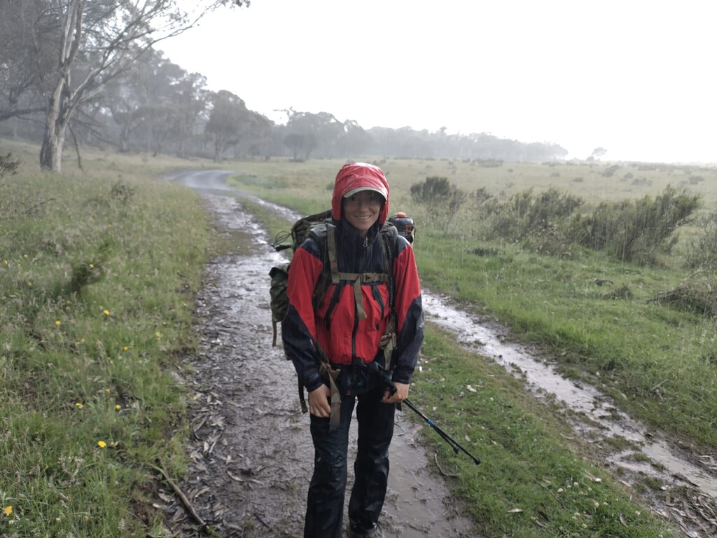
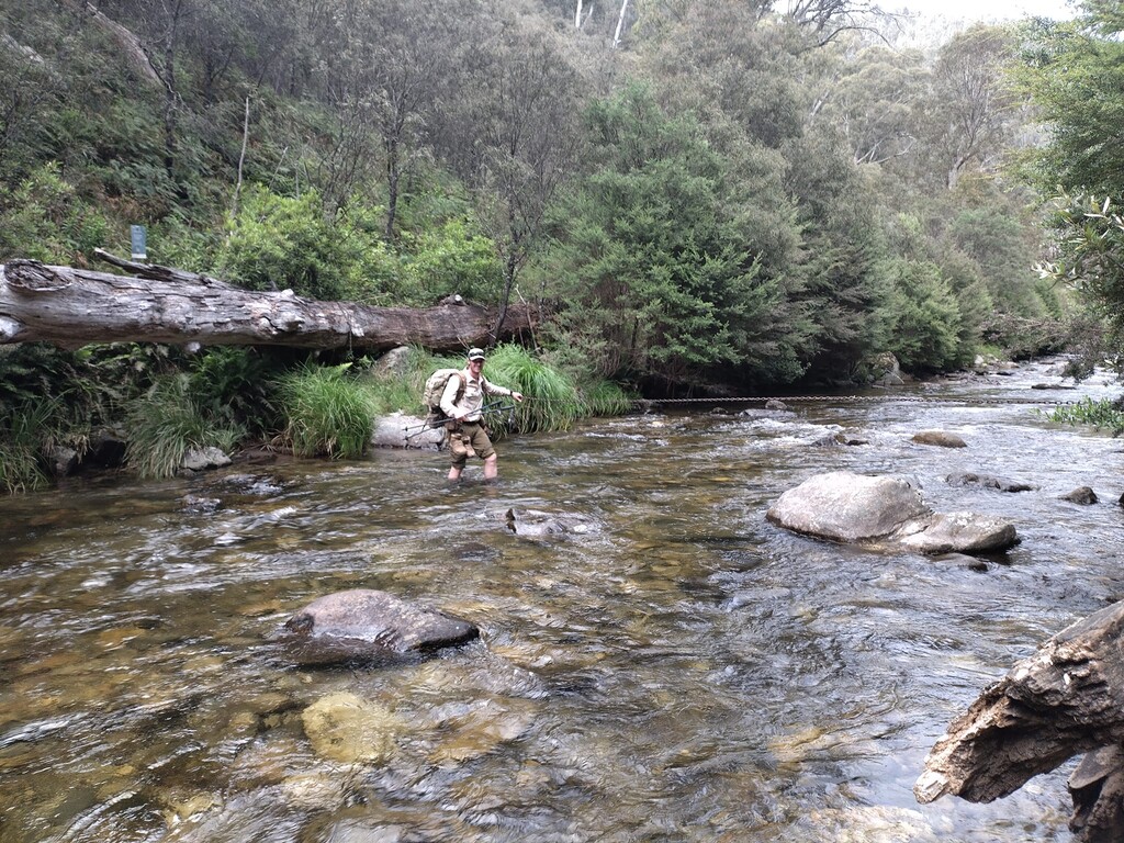
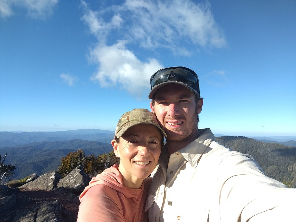
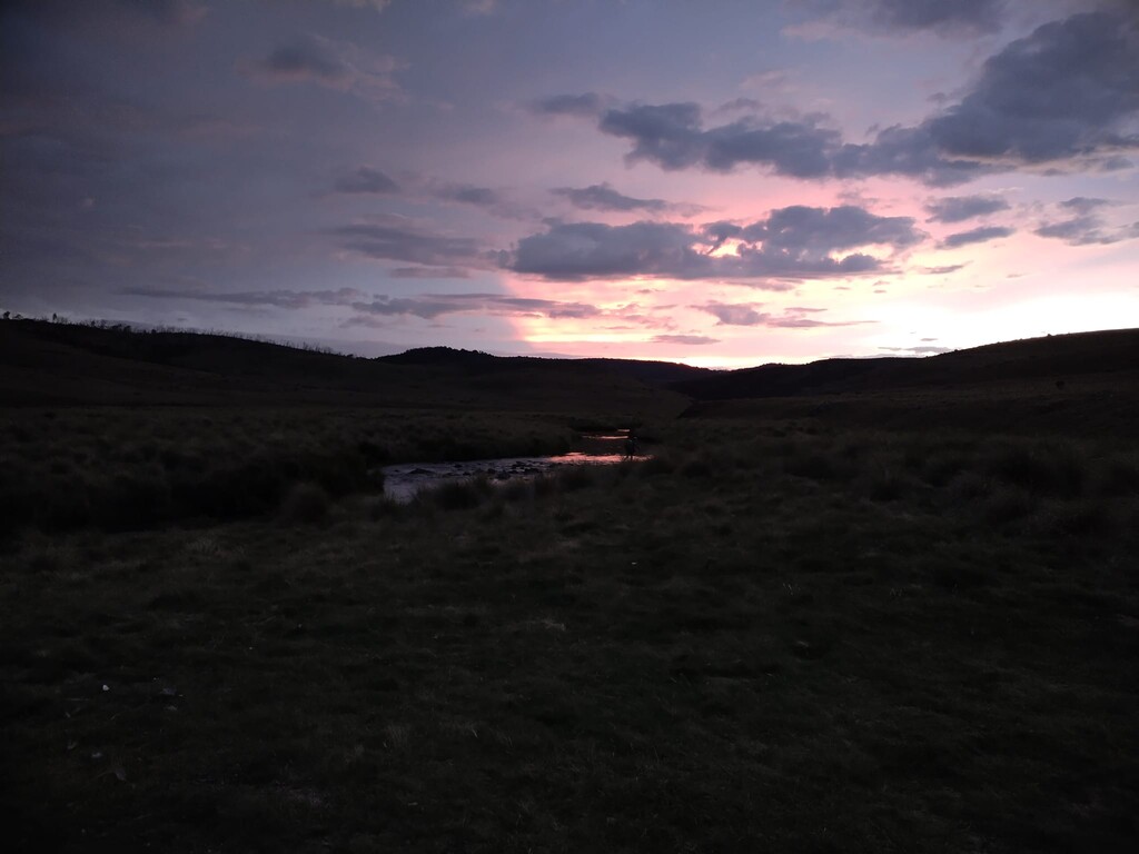
On 09 December 2023, two years after identifying that the Australian Alps Walking Track was missing the Unsupported corner of the FKT trinity; Supported, Self-Supported and Unsupported, we stepped off from the Rotunda at Walhalla, starting up the stairs to the old mining track and headed north. We had food, fuel and everything we thought we would need for 17 days on our backs, with an eye to extending to 20 if needed. There were no caches waiting for us along the way and no one coming to support. We had no intention of leaving the track to rest at the ski resorts; what we started with was what we would have to carry us through to Namadgi Visitor's Centre on the other end of the Australian Alps. We thought it was a great way to spend our summer holiday together as a couple and correct what was surely a simple oversight in the library of adventures down under – how naïve.
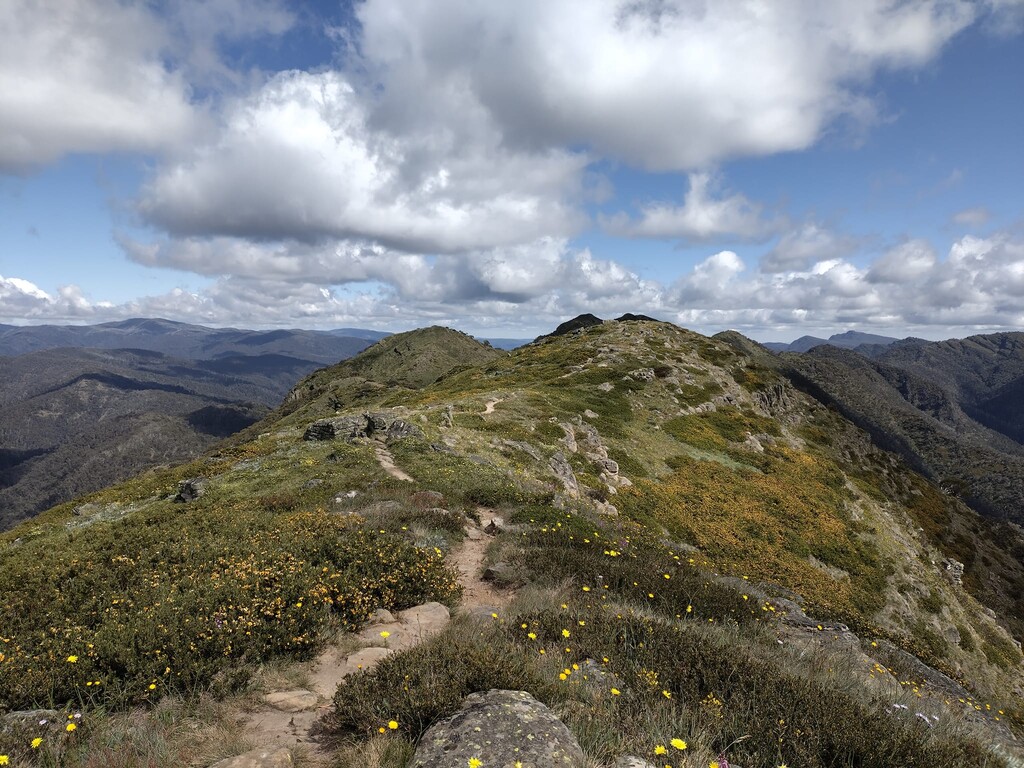
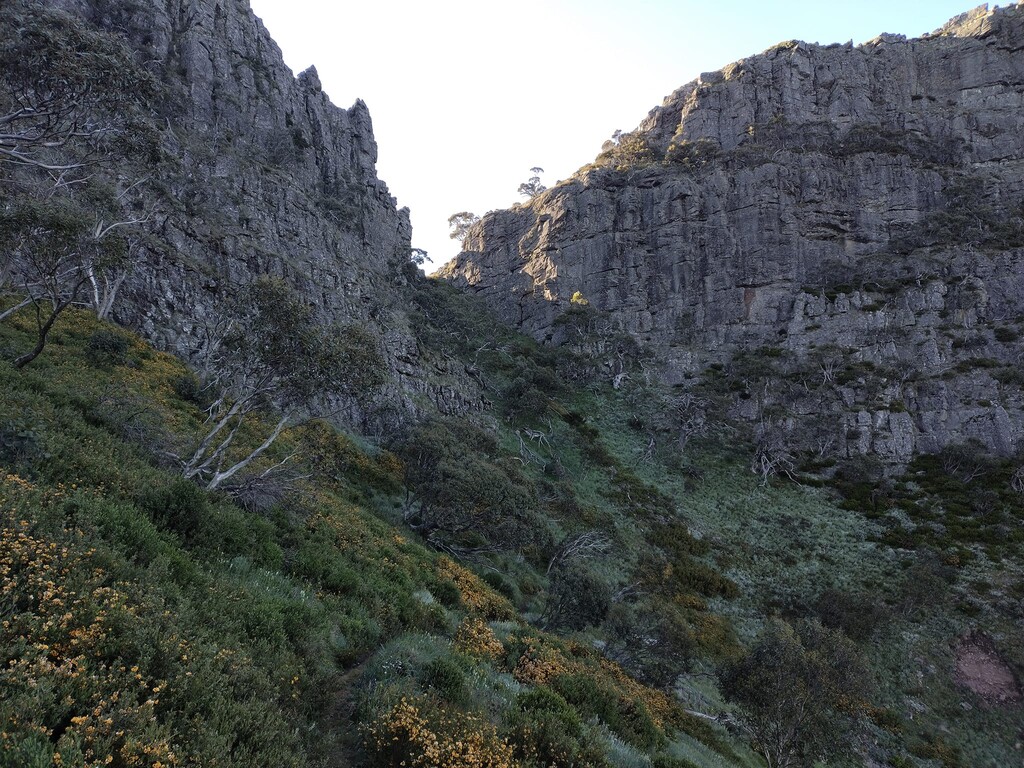
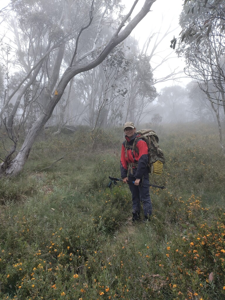
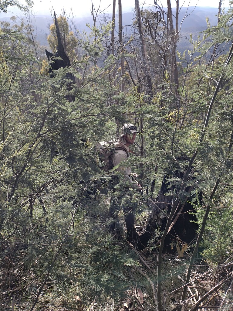
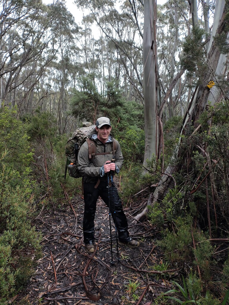
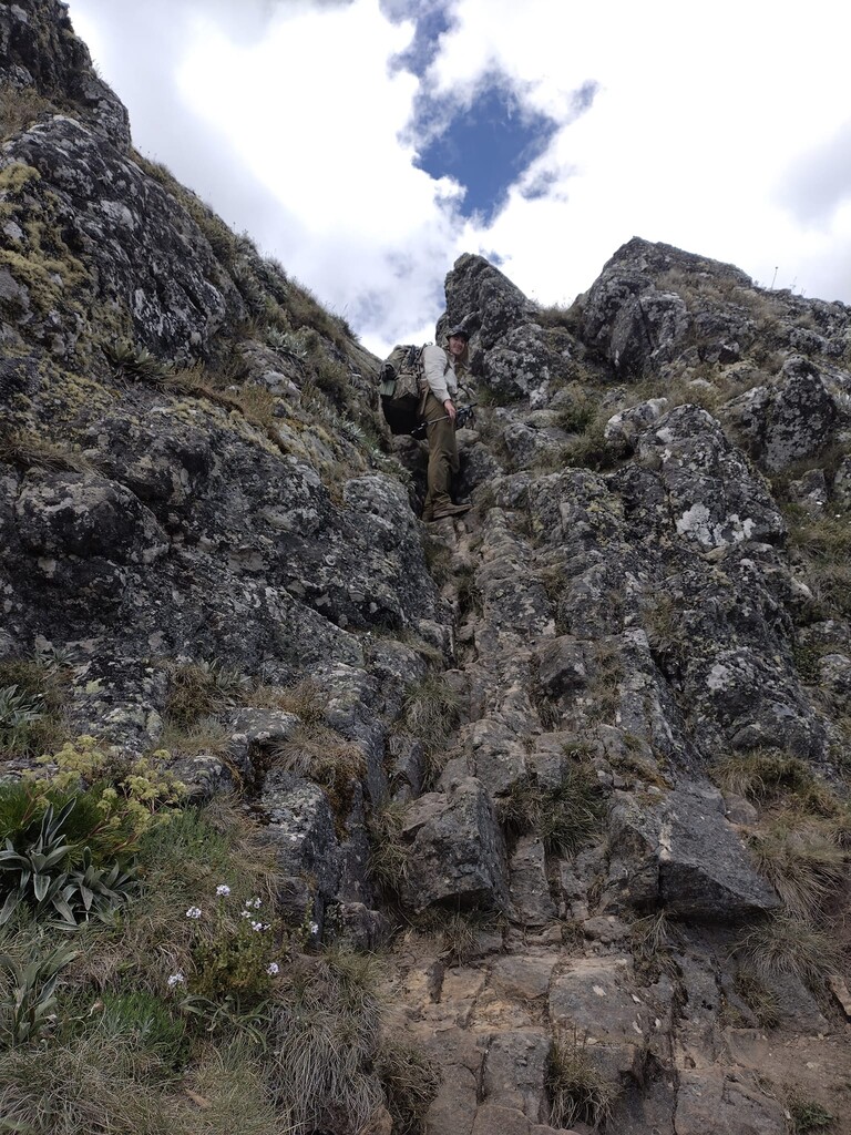
The going in the first 7 days was tougher than we had expected and progress slower. The gradient was staggering both up and down. The track was determined to find the shortest possible route to the top and bottom of everything and the new growth committed to erasing the track. We fell short of our destination every day from the first and on Day 11, at Mt Wills Hut, we realized we were not going to manage in 17 days. We developed a new itinerary, aiming to finish on the 20th day - increasing our daily walking time by 30% and decreasing our food intake by 40% to make our supplies last.
On Christmas Day, rather than finishing the trek as planned, we spent 10 hours followed by a storm which culminated in 45 minutes of hail and the onset of concerning hypothermic symptoms. We made camp and fought to warm up, knowing we had left 3-4 hours of walking still to be done, which now had to be added to the already planned 14 hour Boxing Day. We were now even further behind; the self-imposed caloric deficit was starting to bite, and the hard right finish of Day 20 felt in jeopardy.
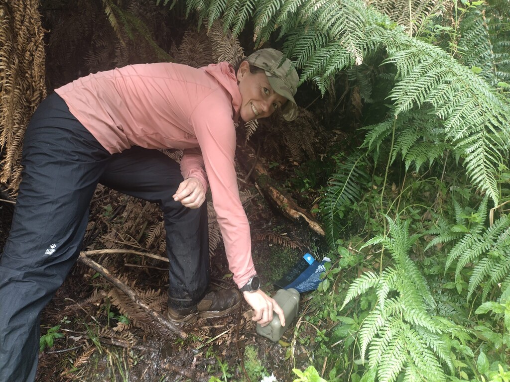
A 50km Boxing Day put us in spitting distance of the Murrumbidgee and back in reach of finishing before the food ran out, noting the gas had already - putting an end to our hot morning brews.
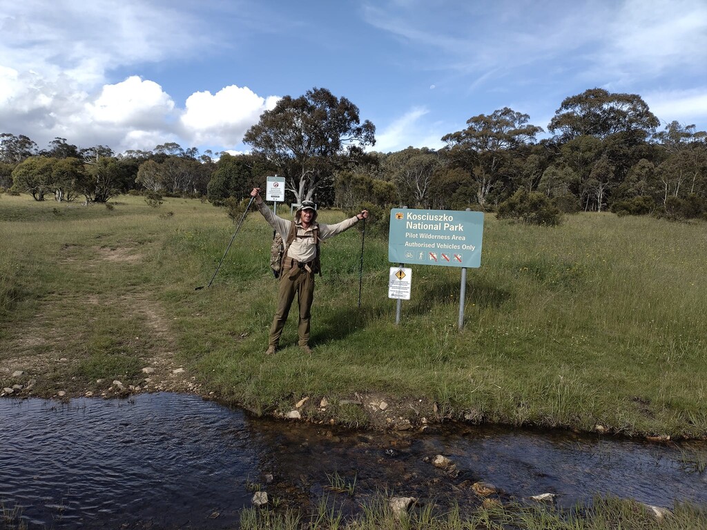
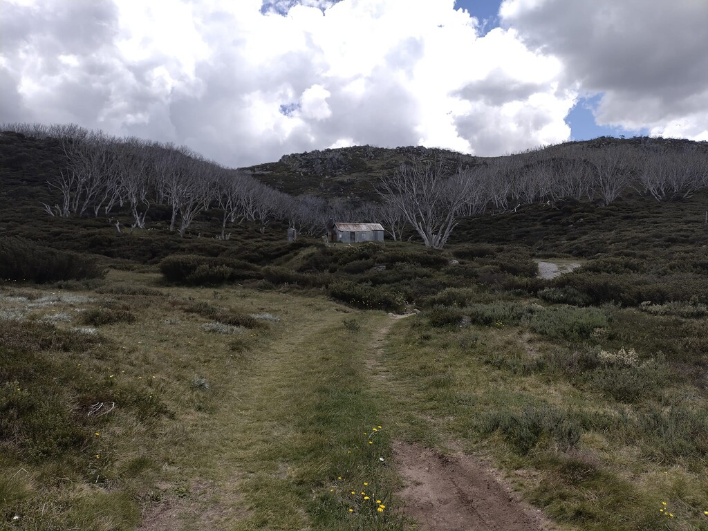
Leaving camp on Day 19, we were into the Endgame, and this would be the last push we had in us. After the break in the weather that got us to the Murrumbidgee, the rain returned in force and saw us again near hypothermic by the late afternoon coming into Oldfield's Hut. We spent the longest break of the trip in the hut, recharging by the fire and savouring the first hot drink and meal in a couple of days. It would fuel us through the Murray Gap and valleys of Namadgi National Park.
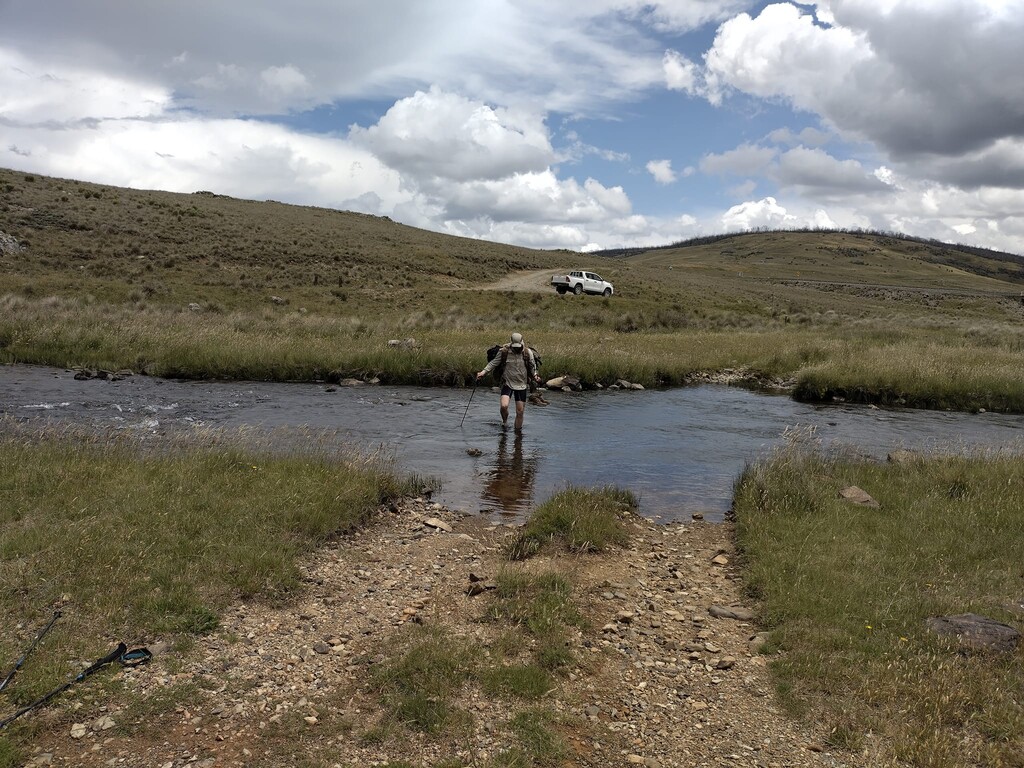
The last leg saw over 90km covered in 34 hours, complete with a nap near Cotter Flat and 2AM waist deep crossing of the Cotter River to wake us back up.
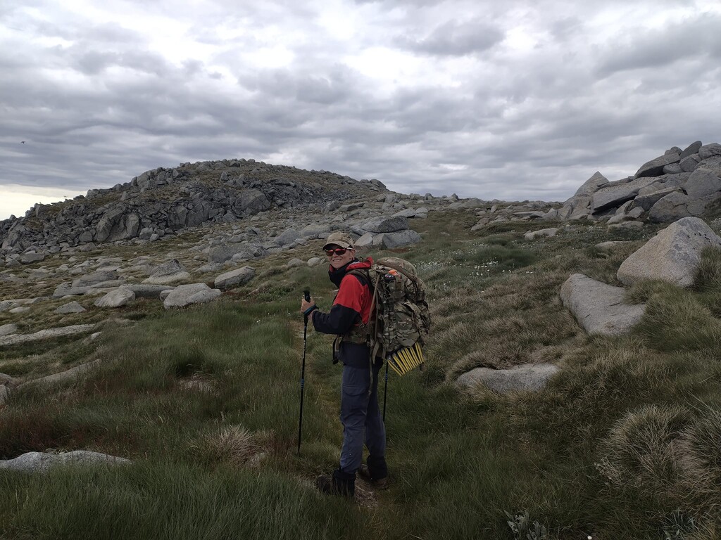
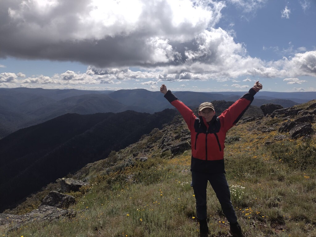
Shortly after lunch time on Day 20 we sat on the shoulder of Mt Tennent, looked down towards the finish at the Namadgi Visitor's Centre and ate our last bit of food laughing at the fact that we were most of the way to going down with heat, just 18 hours after struggling desperately to light a fire to knock back hypothermia.
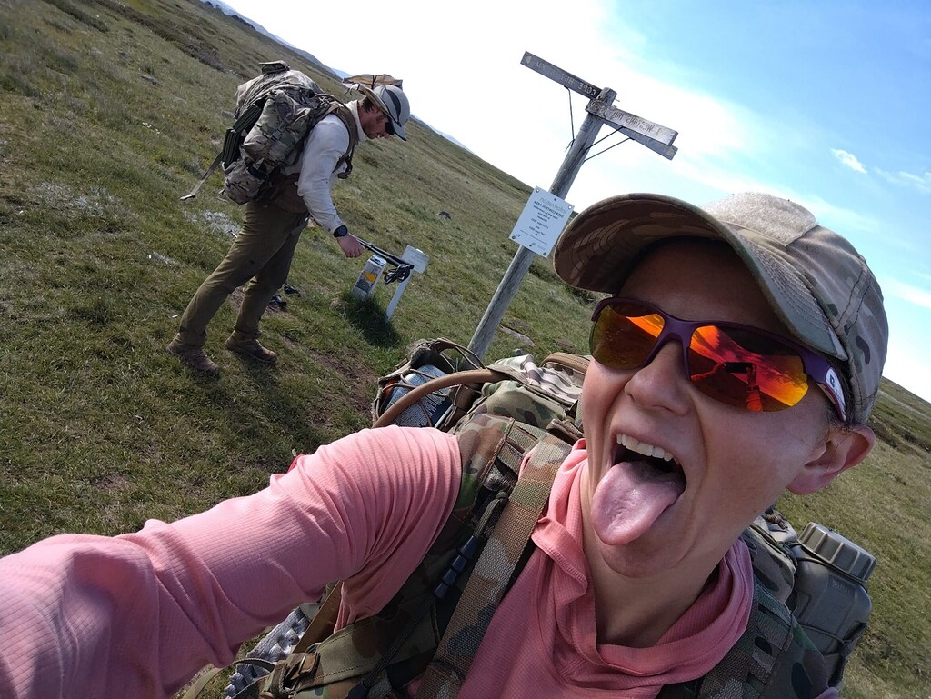
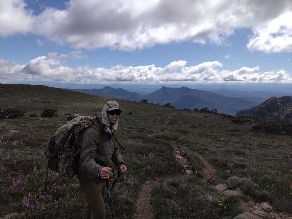
Mid-afternoon on Day 20 we finished the way we had started: together, walking up some stairs. Our starting bodyweights were 58kg and 86kg, finishing at 50kg and 73kg respectively. Overall, the trip was simple; we put everything we needed into our packs, were dropped off at the start by a friend and walked over 700km back to our car. We relied solely on digital navigation aids, forgoing maps and guidebooks due to the bulk. Our experience was uninterrupted by music, books, podcasts or games - due to the weight and power consumption. It was significantly more than we thought it would be and the Unsupported style should be considered by those who are interested in a totally immersive, all-consuming experience of the AAWT.
We're working on a full Trip Report, however until that is complete, here is the itinerary of how it unfolded:
Day 1: Walhalla to Talbot Hut Site, 28.14km, 11:20:31
Day 2: Talbot Hut Site to Thomson River Campsite, 33.65km, 12:52:35
Day 3: Thompson River Campsite to Fiddlers Green, 25.51km, 11:05:47
Day 4: Fiddlers Green to Rumpff Saddle, 30.86km, 13:12:32
Day 5: Rumpff Saddle to Low Saddle, 20.41km, 8:51:48
Day 6: Low Saddle to King Billy No. 1, 33.88km, 15:42:10
Day 7: King Billy No. 1 to Viking Saddle, 25.83km, 14:08:43
Day 8: Viking Saddle to Selwyn Creek Rd-Twins Jeep Track Int, 30.38km, 14:00:46
Day 9: Selwyn Creek Rd-Twins Jeep Track Int to Dibbins Hut, 36:56km, 11:59:49
Day 10: Dibbins Hut to Ropers Hut, 34.05km. 10:21:31
Day 11: Ropers Hut to Omeo Highway, 38.89km, 14:43:14
Day 12: Omeo Highway to Johnnies Top, 46.29km, 16:57:16
Day 13: Johnnies Top to Misery Trail, 32.22km, 13:11:34
Day 14: Misery Trail to Tin Mine Hut, 53.18km, 16:42:27
Day 15: Tin Mine Hut to Muellers Pass, 38.79km, 12:22:30
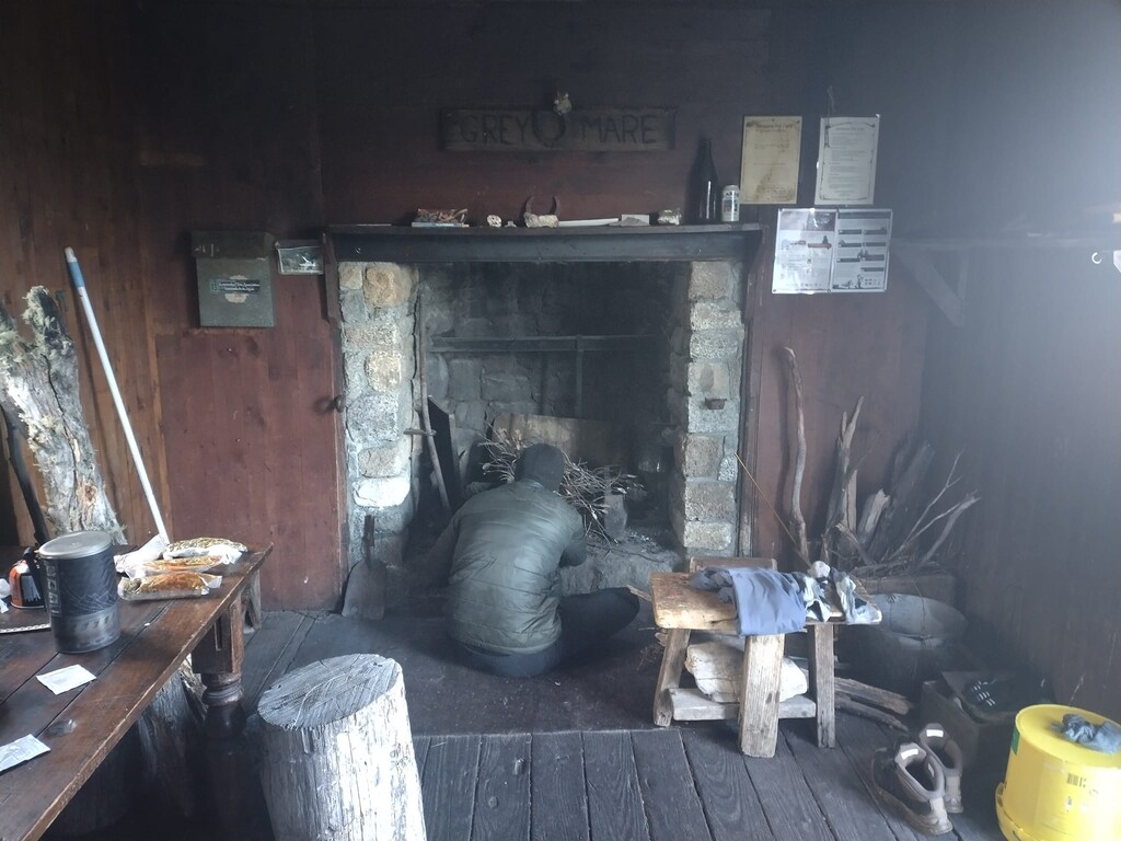
Day 16: Muellers Pass to Grey Mare Hut, 43.03km, 13:26:01
Day 17: Grey Mare Hut to Happy Jacks Rd, 40.48km, 10:37:13
Day 18: Happy Jacks Rd to Tantangara Creek, 50.91km, 14:29:25
Day 19: Tantangara Creek to Cotter Flat, 53.73km, 14:45:38
Day 20: Cotter Flat to Namadgi Visitors Centre, 42.59km, 13:04:00