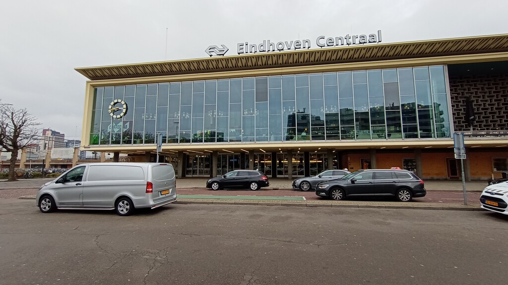
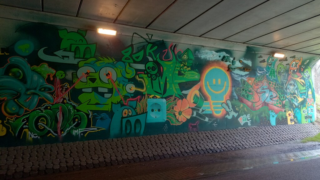
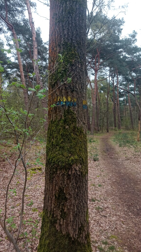
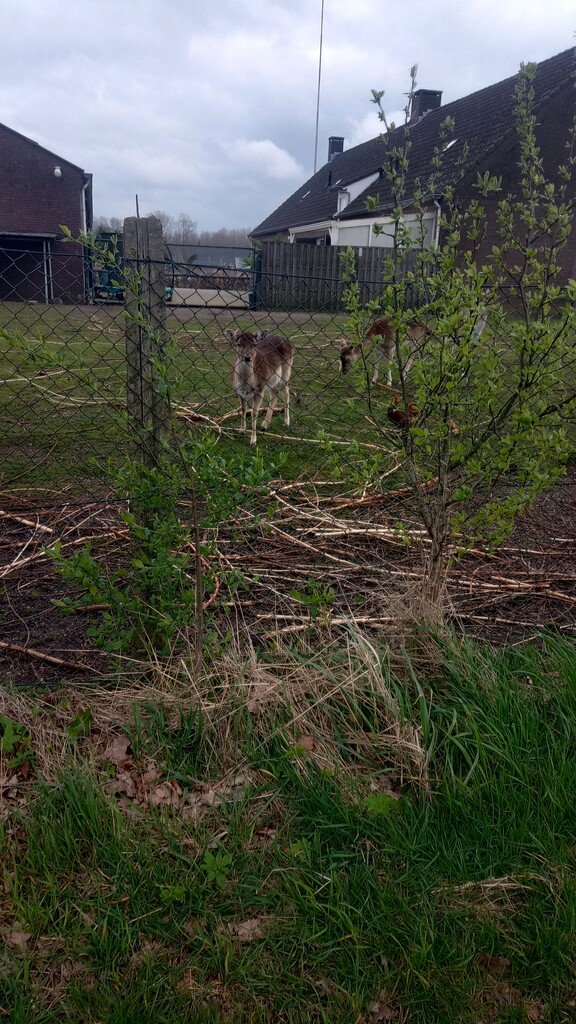

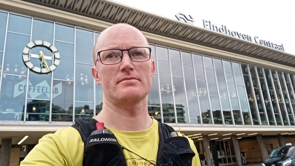
The route starts at Eindhoven Centraal train station (designed to look like an old Philips radio) before heading south out of the city, mostly alongside the Dommel river. After around 8km you pass under the highway, with some cool street art to brighten the tunnel up, and skirting the edge of Aalst finally make it out into the forest.
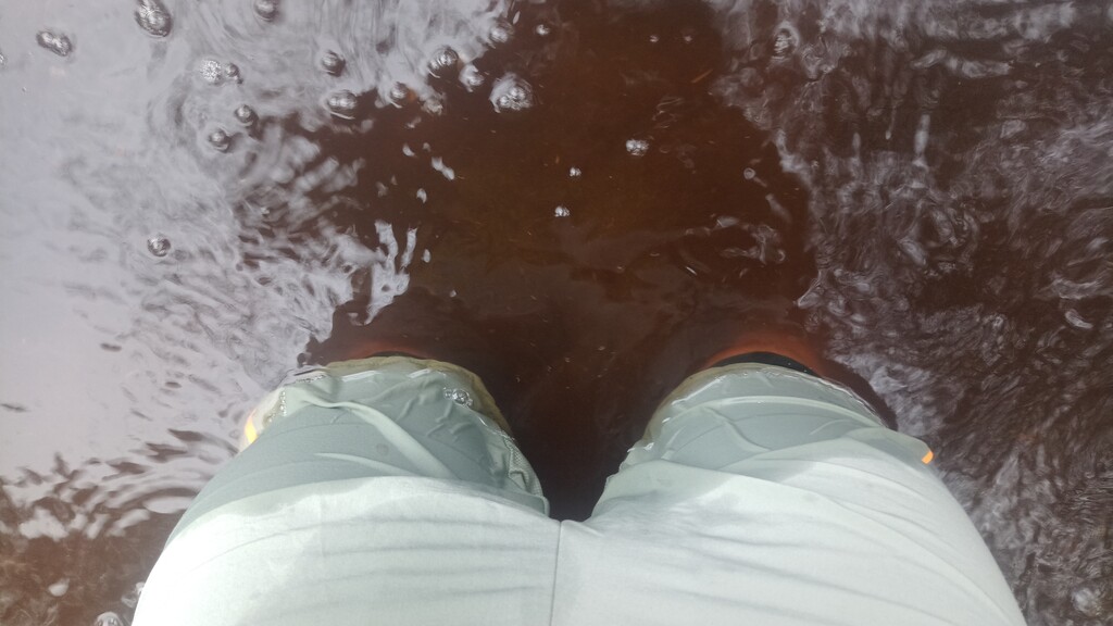
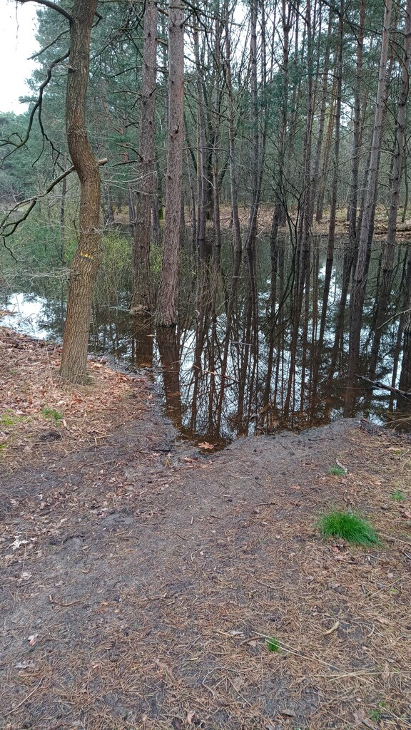
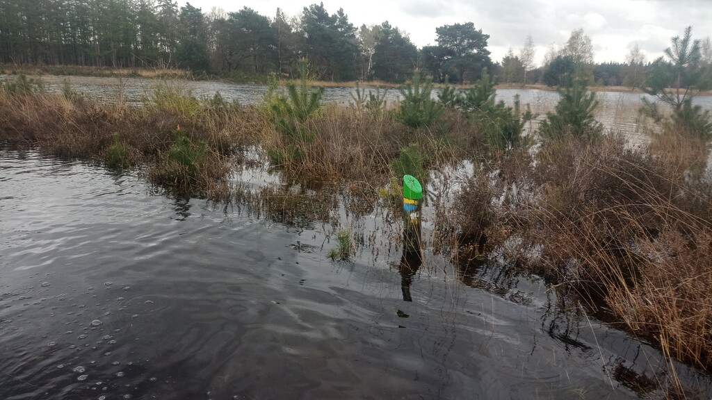
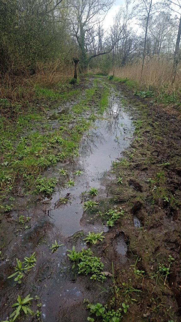
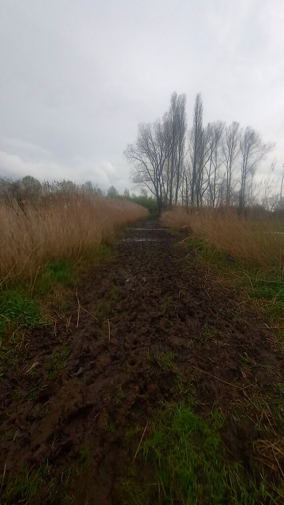
Now, it's been rather wet the last few months, and the ground water level is high. This means that the forests trails which are normally sandy paths in the summer are wet, muddy, and sometimes rather flooded. The flood water isn't clean, you can't see where you are putting your feet, and in general not a lot of fun. The deepest parts were well over knee deep.
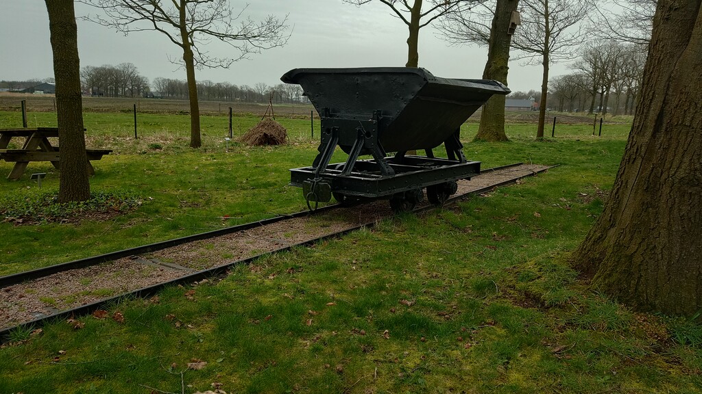
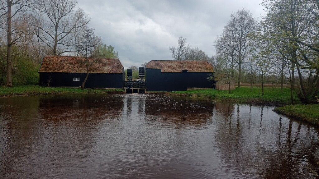
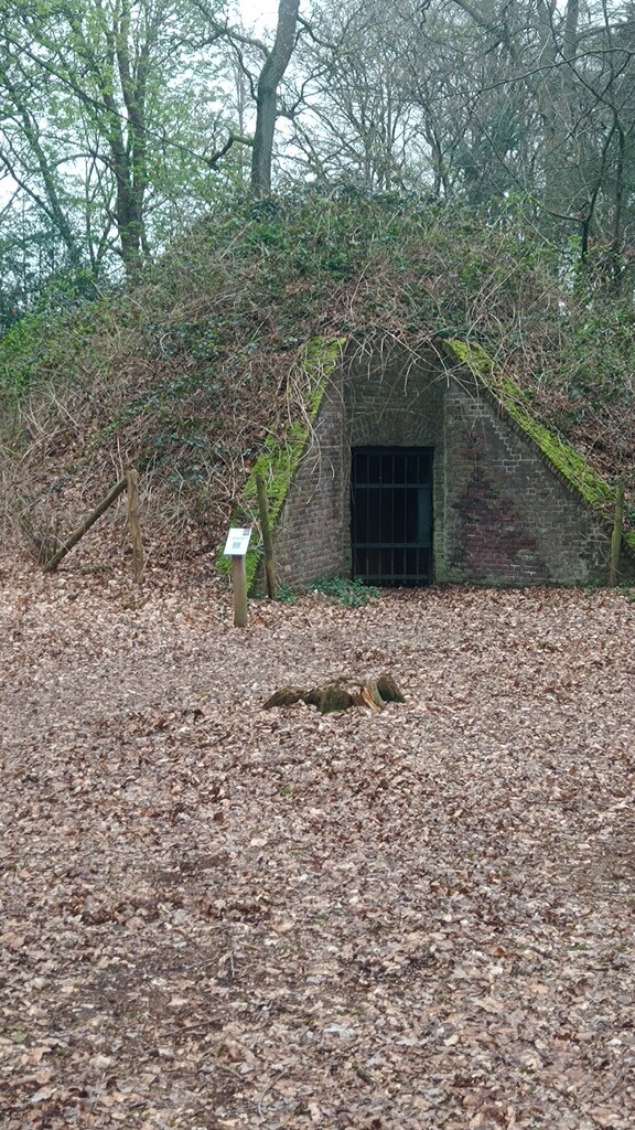
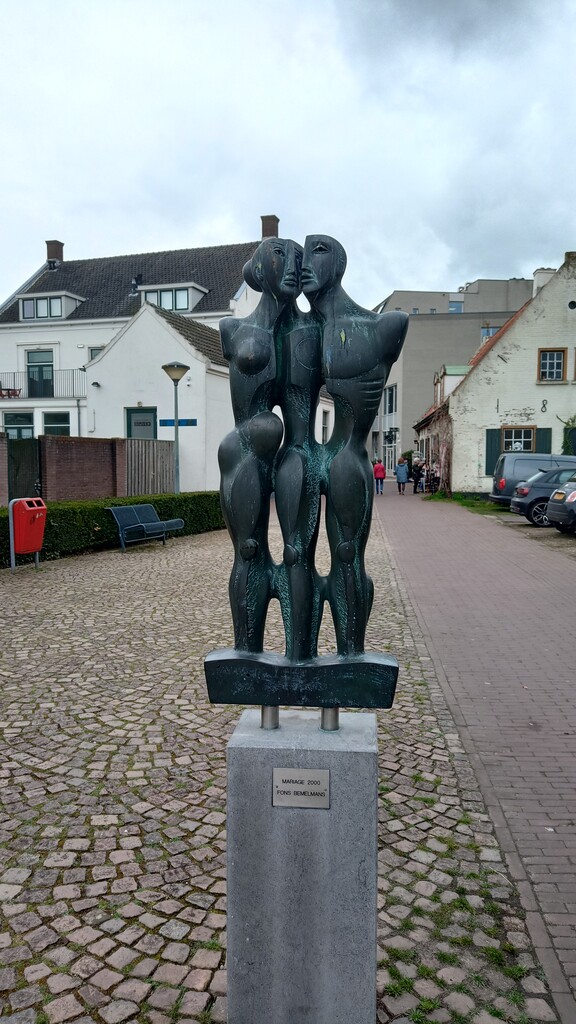
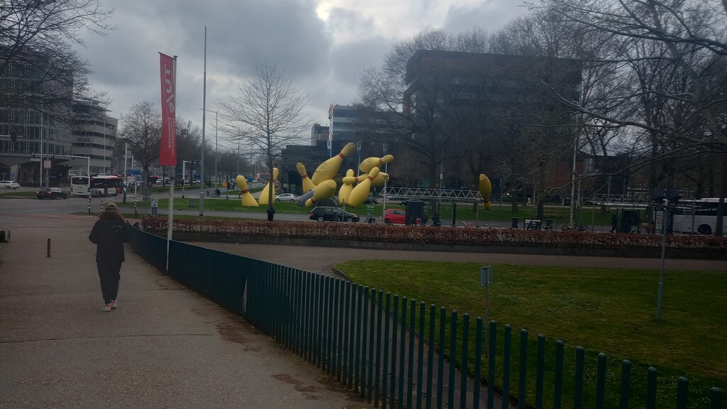
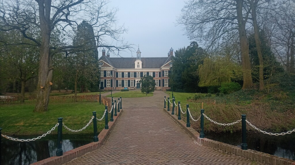
For the most part it was a pretty uneventful run. The runnable parts were at a decent pace, generally managing to hit the 6min/km mark, but there was plenty of mud, plenty of flood water, and some nice sculptures / pieces of art when passing through the towns.
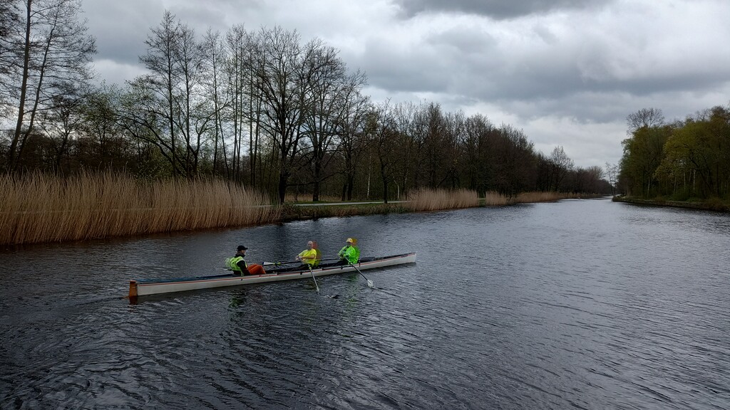
At the half-way point at the canal I took a few minutes rest, to swap empty water bottles with full ones from my backpack and to watch a few rowers go past.
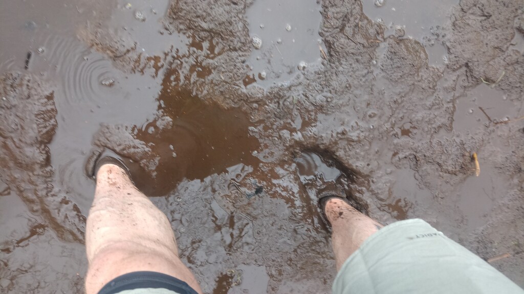
The section along the Kleine Dommel between Geldrop and Neunen was a muddy mess, couple of km with barely any running possible thanks to the mud. The same again coming back into Eindhoven along the Dommel river, but thats always muddy so was expected.
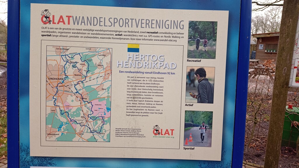
And back at the station again... 8Hrs44minutes. I ran the route based on the GPX available here on FKT, but there are some inaccuracies compared to the signs on the ground, but for the most part they match fairly well. OLAT who maintain the route do not make a GPX available, only a printed guidebook.