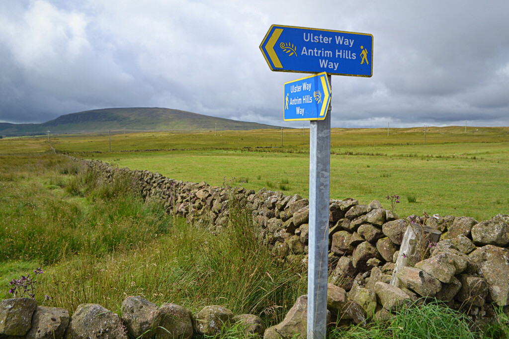
The Antrim Hills Way is a scenic 22-mile walking trail crossing some of the most scenic upland areas in the Antrim Coast and Glens AONB. It starts in the historic village of Glenarm, crosses Black Hill (381m), Scawt Hill (378m) and along Sallagh Braes, a semi-circular basalt escarpment. The highest point on the route is Agnew's Hill (474m) from where almost the entire Antrim Hills Way is visible. The trail continues over fields and, often wet, moorland to end at the solitary volcanic plug of Slemish Mountain. Traditionally it was on the slopes of Slemish that St Patrick, the Patron Saint of Ireland, tended livestock during his six years of slavery at the turn of the fifth century. On St Patrick's Day (17 March) large crowds hike to the top of the mountain as a pilgrimage.
The route has been developed with the permission of landowners: dogs are not allowed due to grazing livestock.
https://walkni.com/walks/antrim-hills-way/
PDF Guide: https://walkni.com/wp-content/uploads/A-Walkers-Guide-To-The-Antrim-Hills.pdf
https://ldwa.org.uk/ldp/members/show_path.php?path_name=Antrim+Hills+Way