The Minnesota DNR describes the Arrowhead Trail:
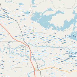
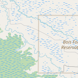
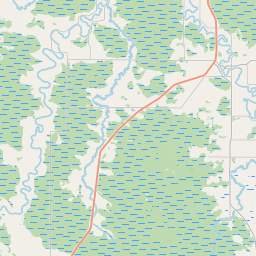
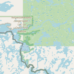
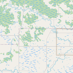
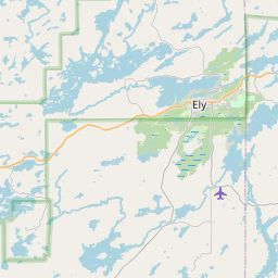
"The 135 mile David Dill/Arrowhead State Trail extends from the intersection with the Taconite State Trail (near Tower) to three miles south of International Falls. The natural surface trail is used primarily for snowmobiling.
This long-distance trail was developed primarily for winter use. ... Read more
The Minnesota DNR describes the Arrowhead Trail:
"The 135 mile David Dill/Arrowhead State Trail extends from the intersection with the Taconite State Trail (near Tower) to three miles south of International Falls. The natural surface trail is used primarily for snowmobiling.
This long-distance trail was developed primarily for winter use. Sections of the trail may be impassible during warm weather months when the ground is not frozen, due to wet soils and standing water."
Given this, we know of no warm season FKT of the trail. However, the Arrowhead Trail is the route of a wintertime ultra, the Arrowhead 135, which has run, bike, ski and run-with-kick-sled divisions. The race website will have information on course records in each division.
In conjunction with the 2013 Arrowhead 135 race, Chris Scotch ran the first known Double Arrowhead. Scotch said, "I carried the mandatory gear required by the race, and all the gear I would need for my return trip, from the beginning of the official race in International Falls. I did borrow a fellow racers sled at the turnaround as my sled had broken during the first leg of the journey. As allowed by the rules of the race, I did purchase food and beverage from businesses along the trail, but returned to the trail in the same spot I left. I did also use the Finish Line and Melgeorge's Checkpoint (halfway spot for the official race) for shelter, as allowed by the race." We will record times for the Double Arrowhead here, as well as any times for the single crossing done outside of the race.
Read less 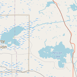


Comments
I believe Kari Gibbons and Kate Coward completed the Double Arrowhead in 2018: http://www.startribune.com/resting-and-recovering-ultramarathoners-refl…, http://www.startribune.com/one-135-mile-endurance-race-wasn-t-enough-ul….