This route was created to my knowledge by Climber Kyle, his report is available here and is recommended reading for anyone considering attempting this: https://climberkyle.com/2021/06/26/townsend-buckhorn-ridge-run/
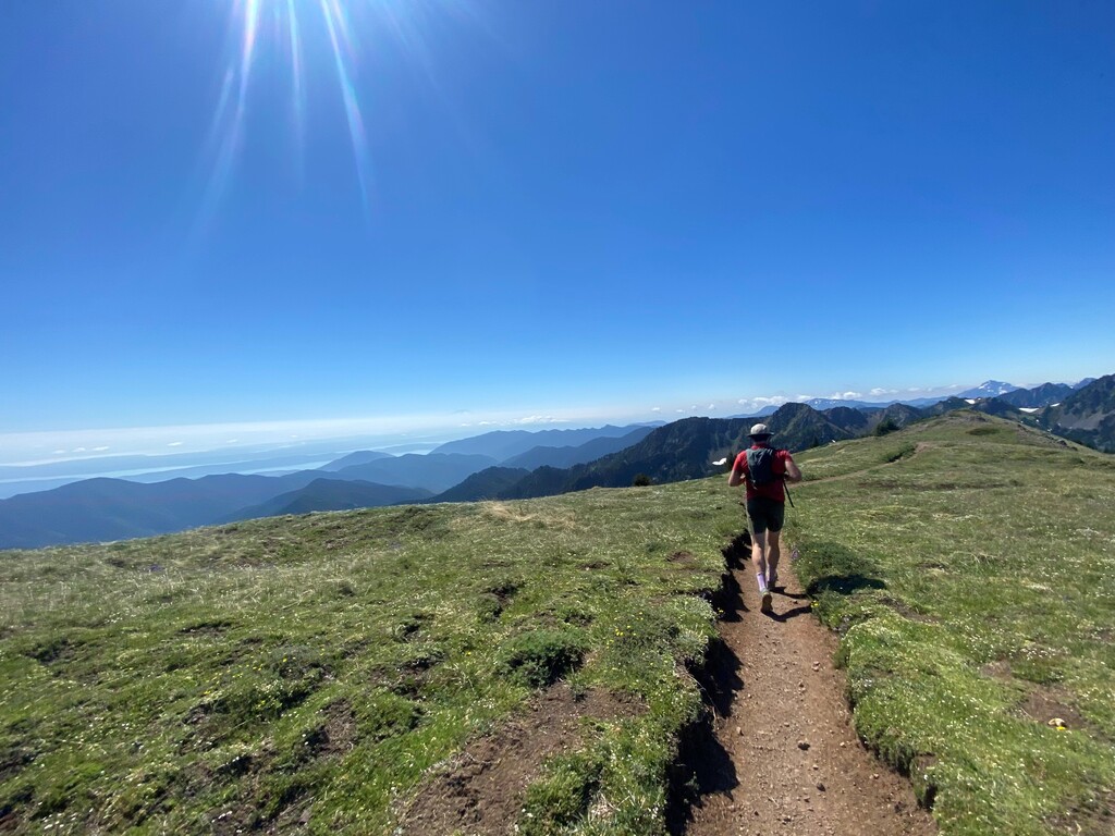
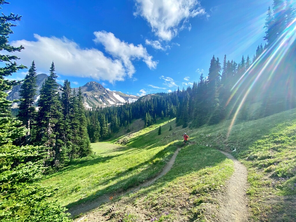
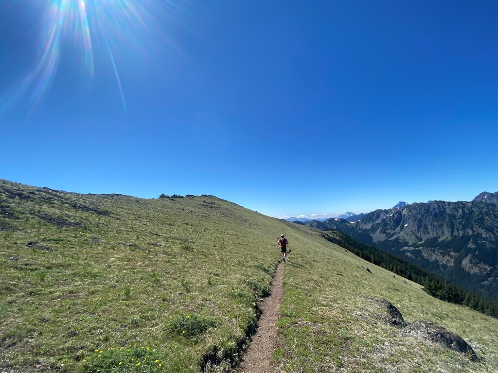
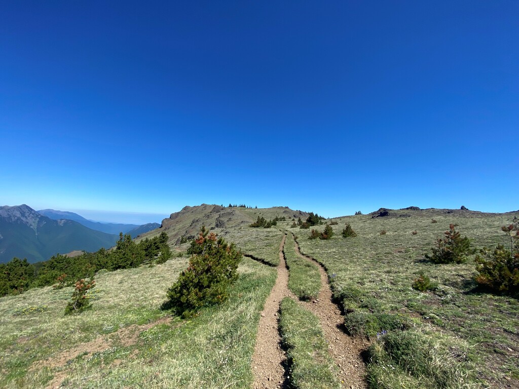
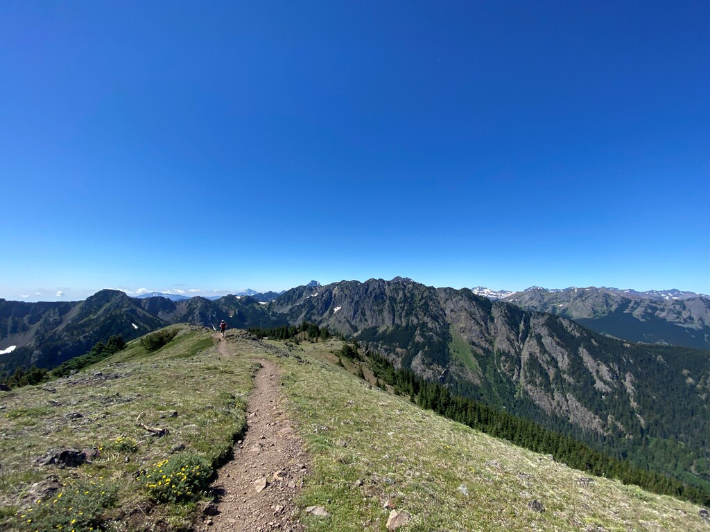
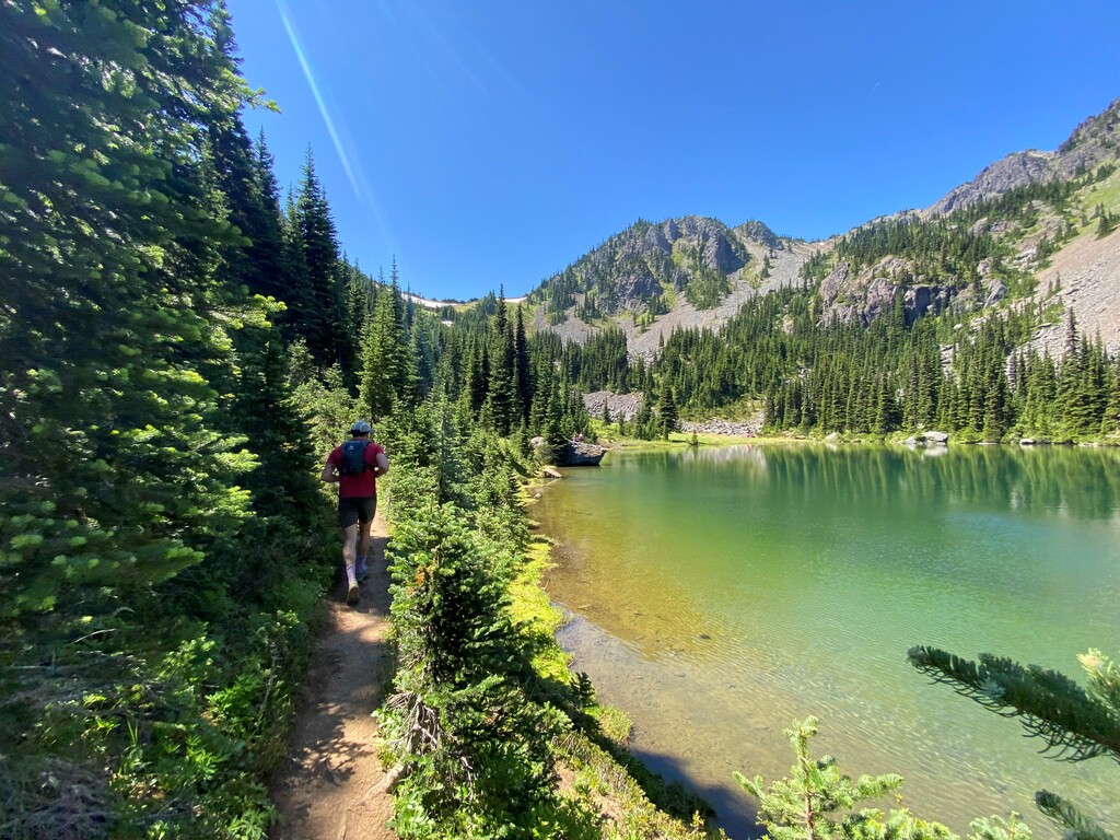
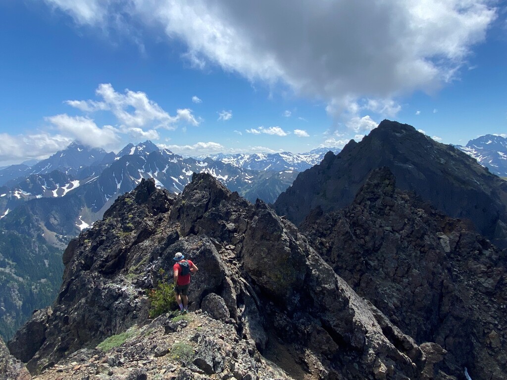
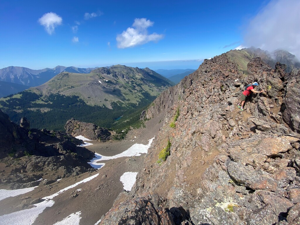
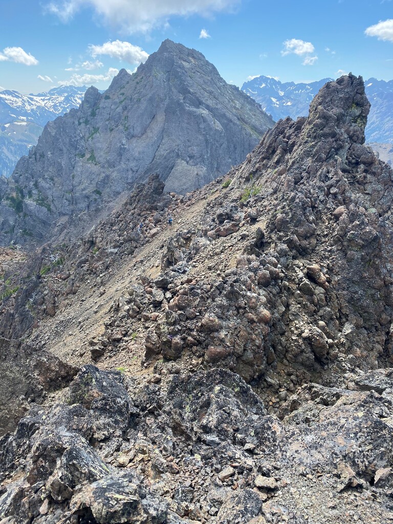
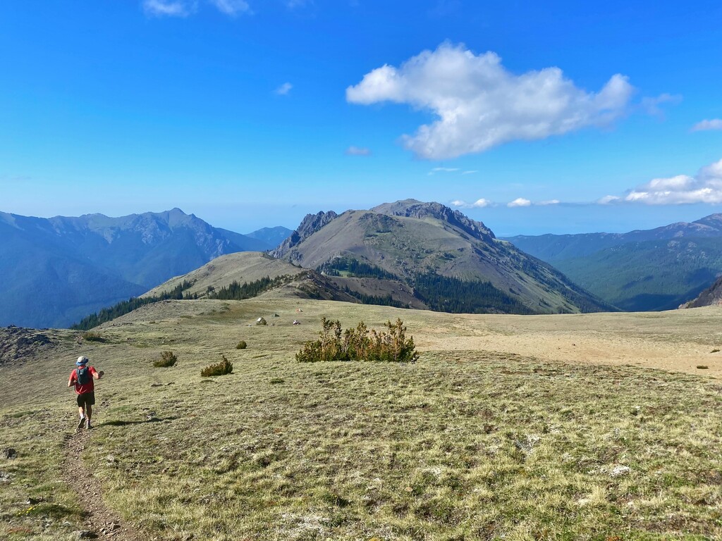
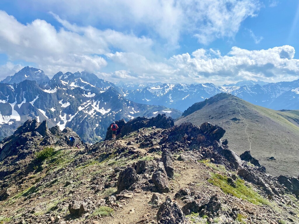
Starting at the Tubal Cain trailhead parking lot you start your clockwise route headed toward Mount Townsend on the Little Quilcene Trial #835. We had to power hike (20 minute/ miles) the first two miles due to decent vert. After some glorious high alpine meadow ( miles 2.5-4) time you begin to descend on the Silver Lake Trail #842 to Silver Lake (at mile 7.5 ish). Note we did make a wrong turn and took three switchbacks too many down to Windy Camp before realizing the mistake and backtracking. Good trail running all the way to Silver Lake. After Sliver Lake the official trial ends and you begin following a climbers trail up from the lake head to the ridge line. Along this 3 ridge climb/ scramble you get Hawk peak (mile 8.5 ish), the first and easiest of the peaks to come. Next you traverse over to Iron Mountain which is deceptively far away and technical, and finally to Buckhorn peak. The only part where route finding/safety was truly questionable I thought was the cross from Iron Mountain to Buckhorn Mountain (mile 11ish). Climber Kyle’s beta said it would be a, “clear route once you saw it”… it was not a clear route. Just continue to stay high on the ridge line. The rock is also very sharp and gloves would have saved my hands significant pain. My new Brooks Adrenalines are also shredded. After you climb off Buckhorn its easy mountain running again (miles 12- to finish). We initially missed the turn down to 5500 ft meadows and continued on the Buckhorn Mountain trail and had to back track again probably 400 ft. After the meadows which I will have to come back and camp in, a couple of switchbacks take you to the Tubal Cain trail which you will stay on all the way back to the trailhead. This is a nice trail run out with a river crossing. The Tubal Cain trail did have one split and we took a bushier alternative route for about one mile on this descent. I would stick to the nice well maintained Tubal Cain trail. I brought about 3 liters of water and food for 8 hours.
https://www.strava.com/activities/5574693809/overview