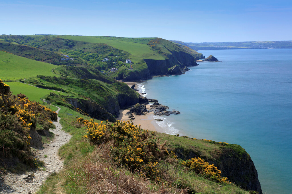
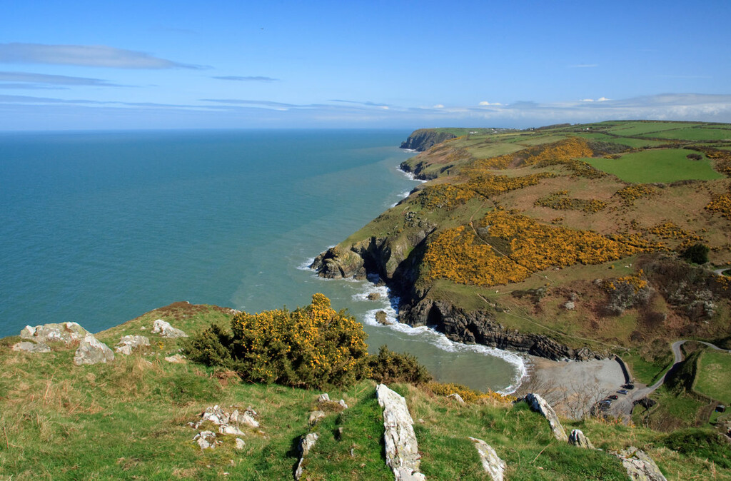
Location
United Kingdom
Distance
94.1 km
Vertical Gain
1,800 m
Description
GPS Track
2020-09-18_260627037_Hike.gpx272.82 KB
FKTs
Mixed-gender team
Male
| Sanna Duthie, Henry Drake | 12h 33m 54s |
| Timothy Plumb, Domi Kimber, Daniel Swift, Mark Dixon, Mark Hayward | 16h 14m 52s |
| Alun George | 13h 49m 17s | ||||
| Jonathan Riley | 14h 49m 15s |
| Ben Jones | 13h 59m 18s |
Images

Comments
A group of us took on the full Ceredigion Coastal Path yesterday (19th of June 2022). We completed the route in 16 hours, 14 minutes and 52 seconds. We ran it as a group and completed it in the same time. We run as part of the NBLRs running collective. Please find below our Strava recordings of the effort:
Mark Dixon - https://www.strava.com/activities/7337601026
Mark Hayward - https://www.strava.com/activities/7336854441
Domi Kimber - https://www.strava.com/activities/7336789227
Tim Plumb - https://www.strava.com/activities/7336677502 (where the official time is taken from)
Dan Swift - https://www.strava.com/activities/7336675392