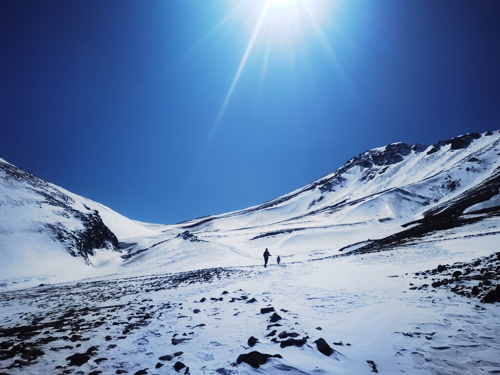
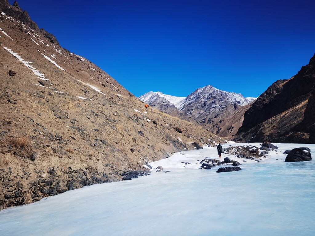
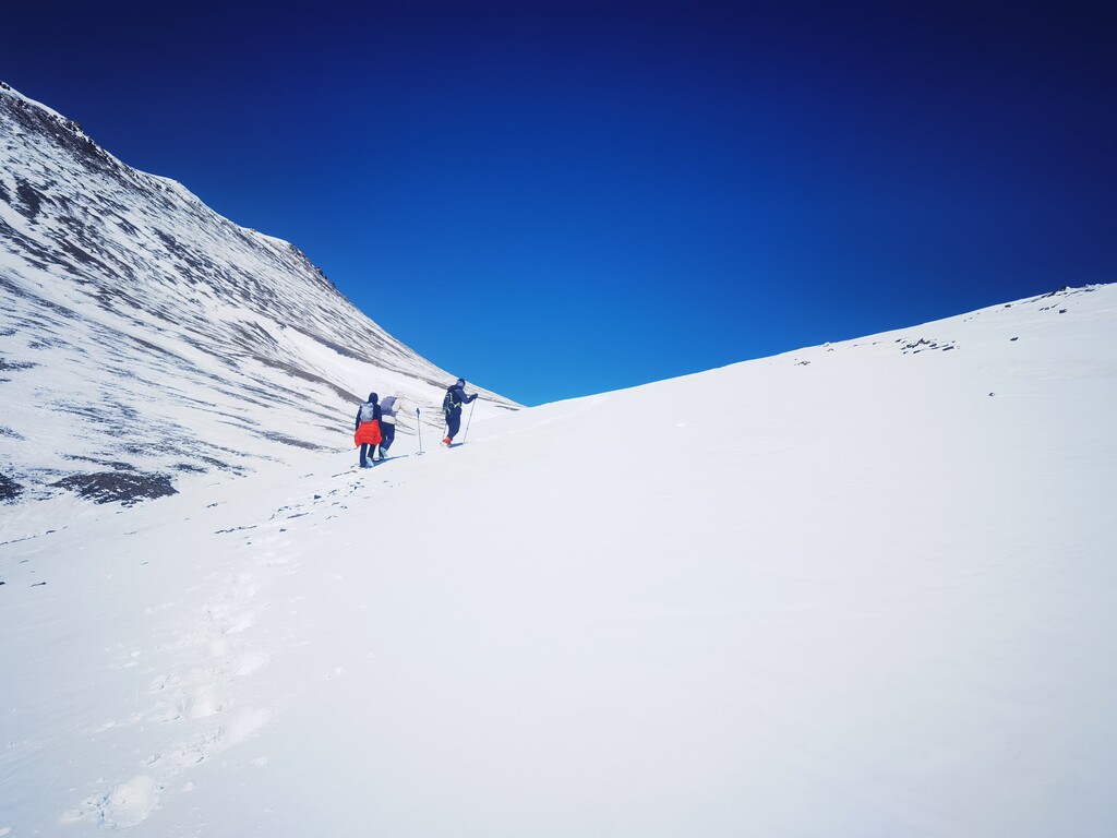
Location
Xinjiang Weiwuerzizhiqu,
CN
Distance
49 km
Vertical Gain
1,701 m
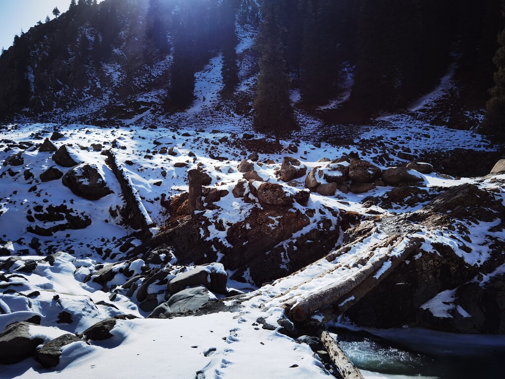
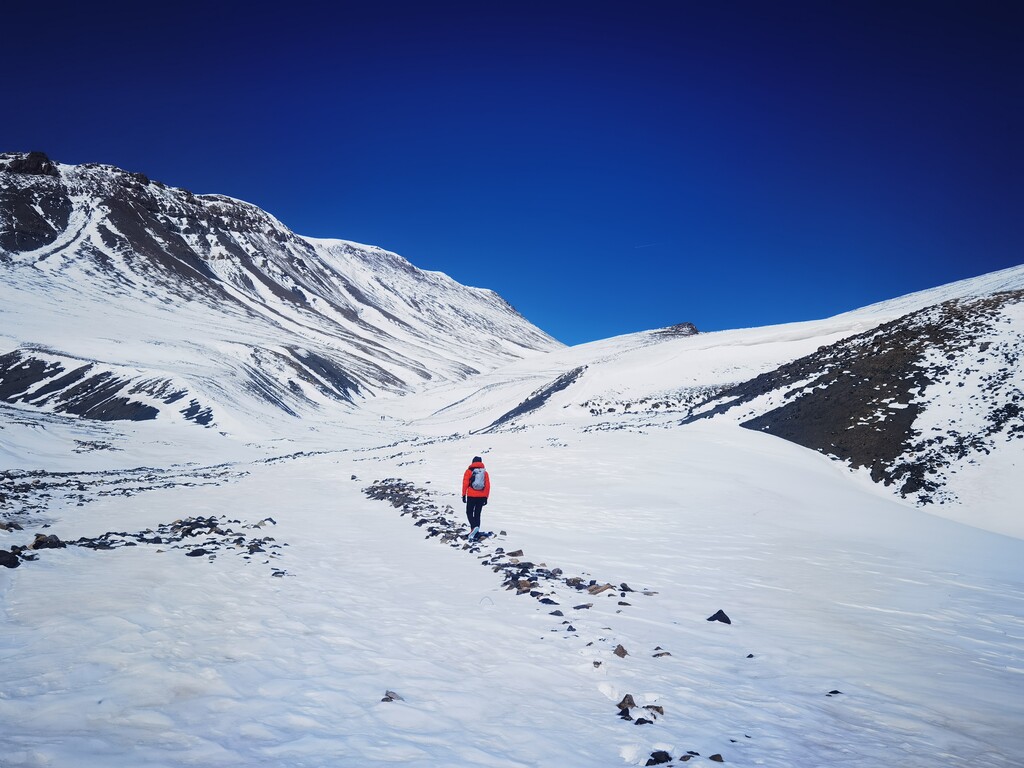
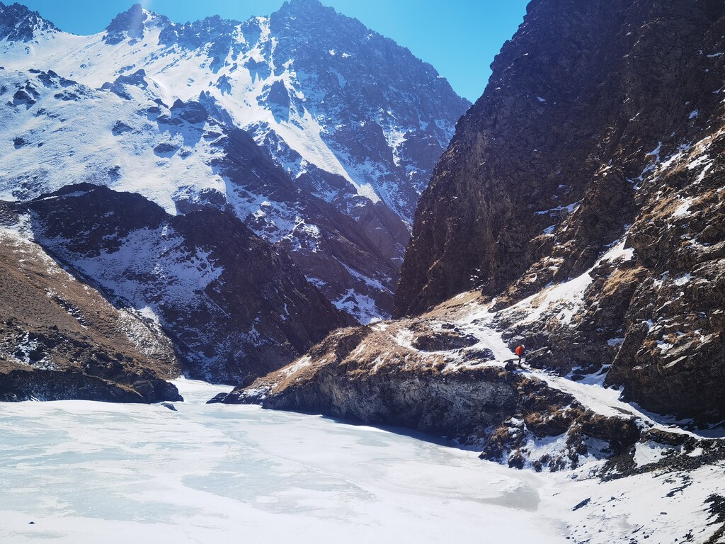
Description
GPS Track
车师穿越20230405070512.gpx8.94 MB
FKTs
Images