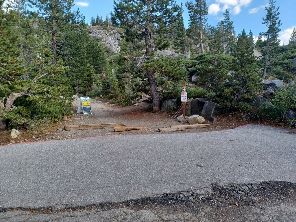
Start: PCT Trialhead on "Old Donner Summit Road". Just off of Historic Highway 40 at Donner Summit. 39.31471N. -120.32727W
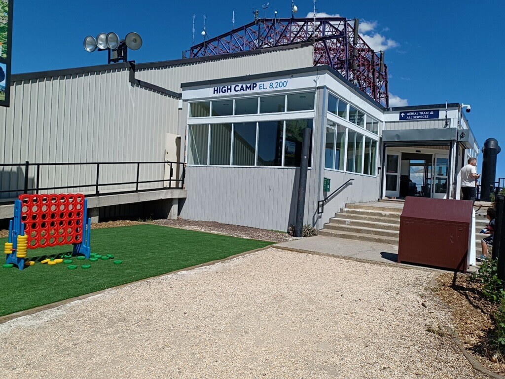
End: "High Camp", Palisades Tahoe. The upper gondola station. 39.195235N, -120.261267W
This point-to-point route offers spectacular views along the crest of the Sierras. Easy access to the start and end points. After ending the run, take a free ride down the gondola to Palisades Tahoe Olympic Village. Most of the route follows south along the well marked PCT.
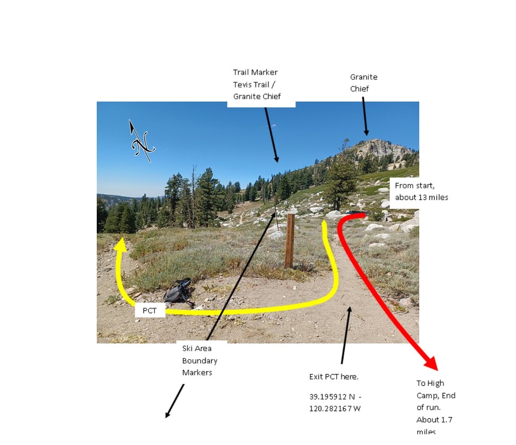
Exit the PCT after logging about 13 miles at a marker that reads “GRANITE CHIEF” and “TEVIS TRAIL”. (The PCT continues in the direction indicated for Tevis Trail. You will be coming from the direction indicated for Granite Chief). The coordinates of this point are: 39.195912 N -120.282167 W. Follow the trail that parallels the obvious ski area boundary markers going farther south. After a quarter mile past the trail marker, take the trail that goes left over the col between Emigrant Peak and Granite Chief. This trail traverses below and to the north of Emigrant Peak’s cliff bands. Once on the gravel service roads, you can make quick work of the final 0.75 mile or so to the obvious end at the sign that reads “HIGH CAMP EL. 8,200’”
There are several peaks along the way that will beckon for those with energy to spare. Anderson Peak (8683'), Tinker Knob (8949'), and Granite Chief (9006') are all just a scramble on whatever trail dust you can find. Bagging these three peaks could be a variation on this point-to-point FKT.
Be sure to check the summer operating hours and dates for the Palisades Tahoe gondola. Last departure from High Camp was 5:00 PM in 2022. Summer dates may vary from year to year. If you miss the last gondola, there are trails that lead down to Olympic Village.
You should be able to carry enough water. There is only one potential source of water at about mile 9. To get back to start, you can use a combination of a TART bus to Truckee and UBER.
Admin note: If someone wants to pursue a "high route" a variation can be added that tags appropriate peaks along the way.