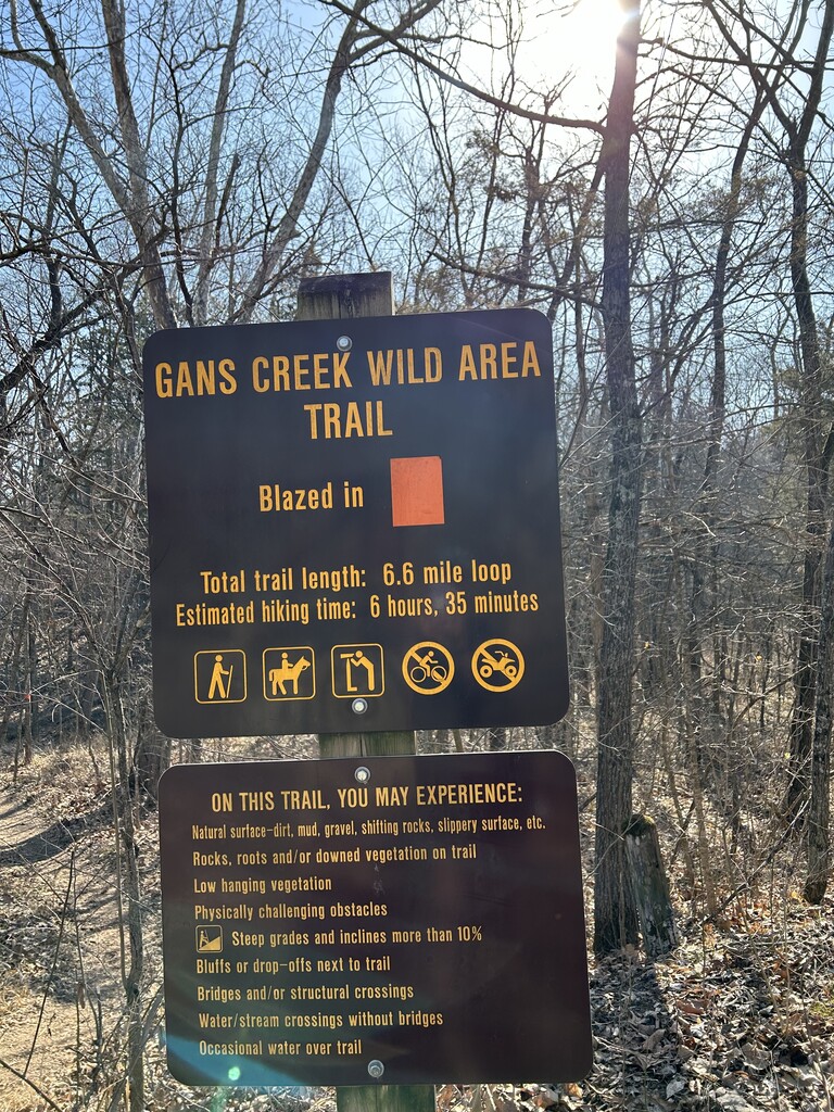
Location
Missouri,
US
Distance
7 mi
Vertical Gain
702 ft
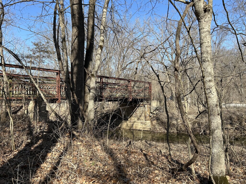
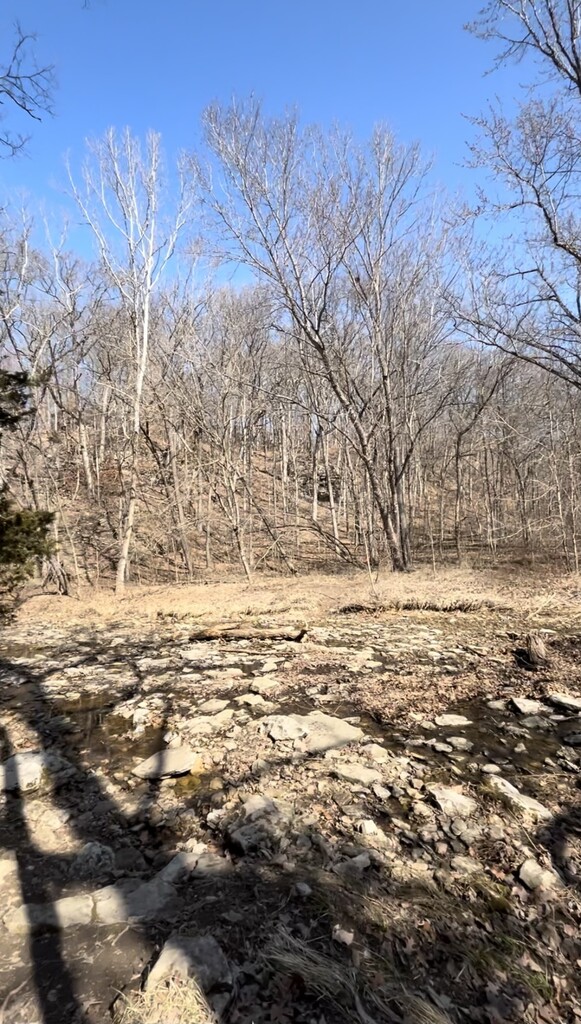
Description
GPS Track
FKTs
Male
Female
Mixed-gender team
| Antonio DeRose | 1h 21m 0s |
| Heather DeRose | 1h 21m 31s |
| Heather DeRose, Antonio DeRose | 1h 24m 41s |
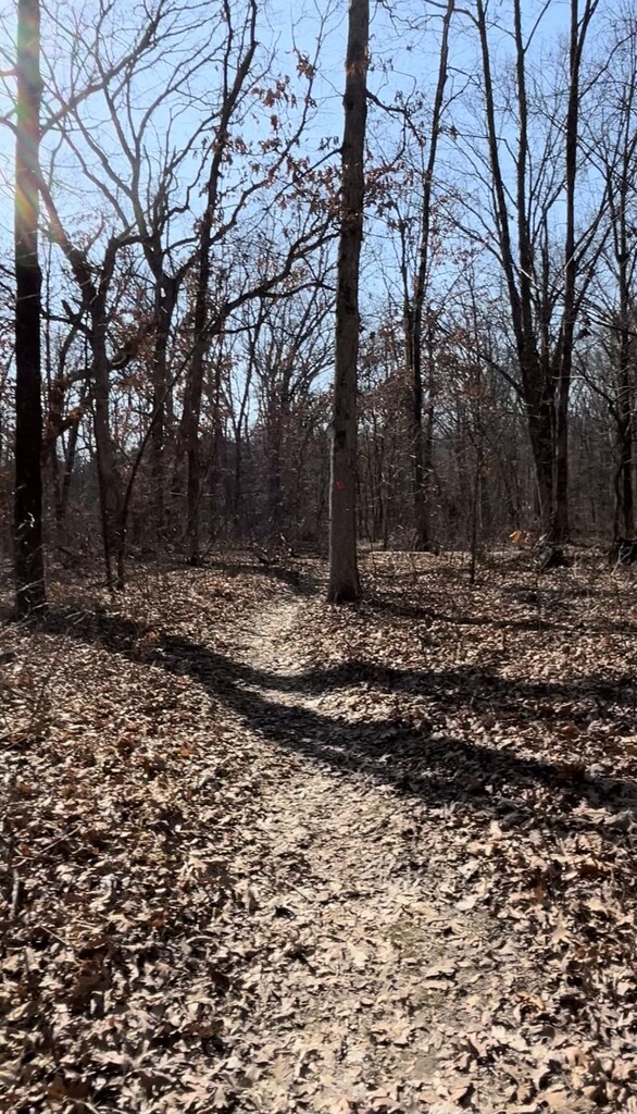
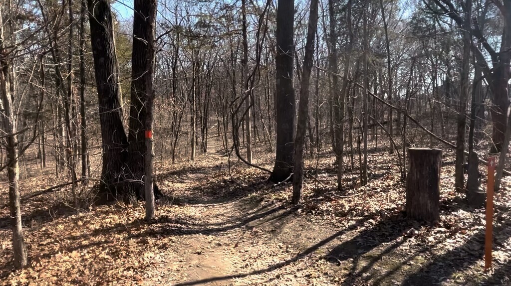
Images