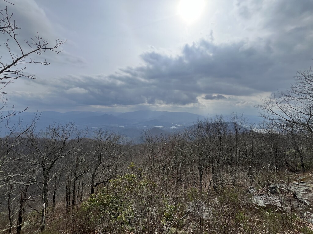
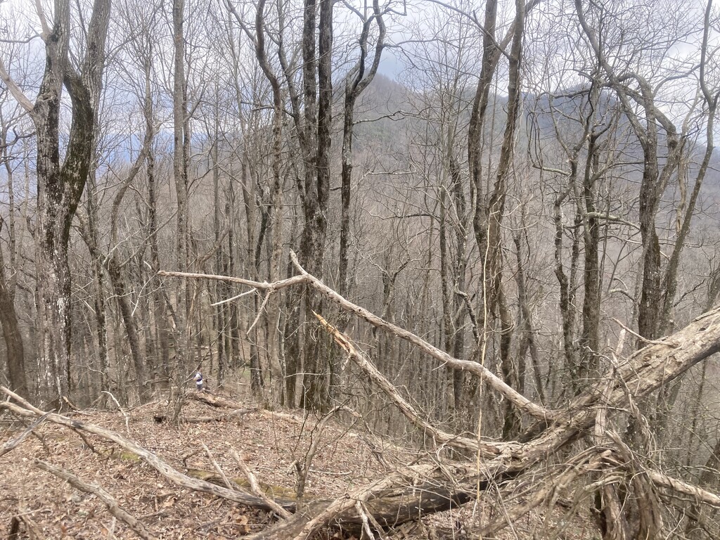
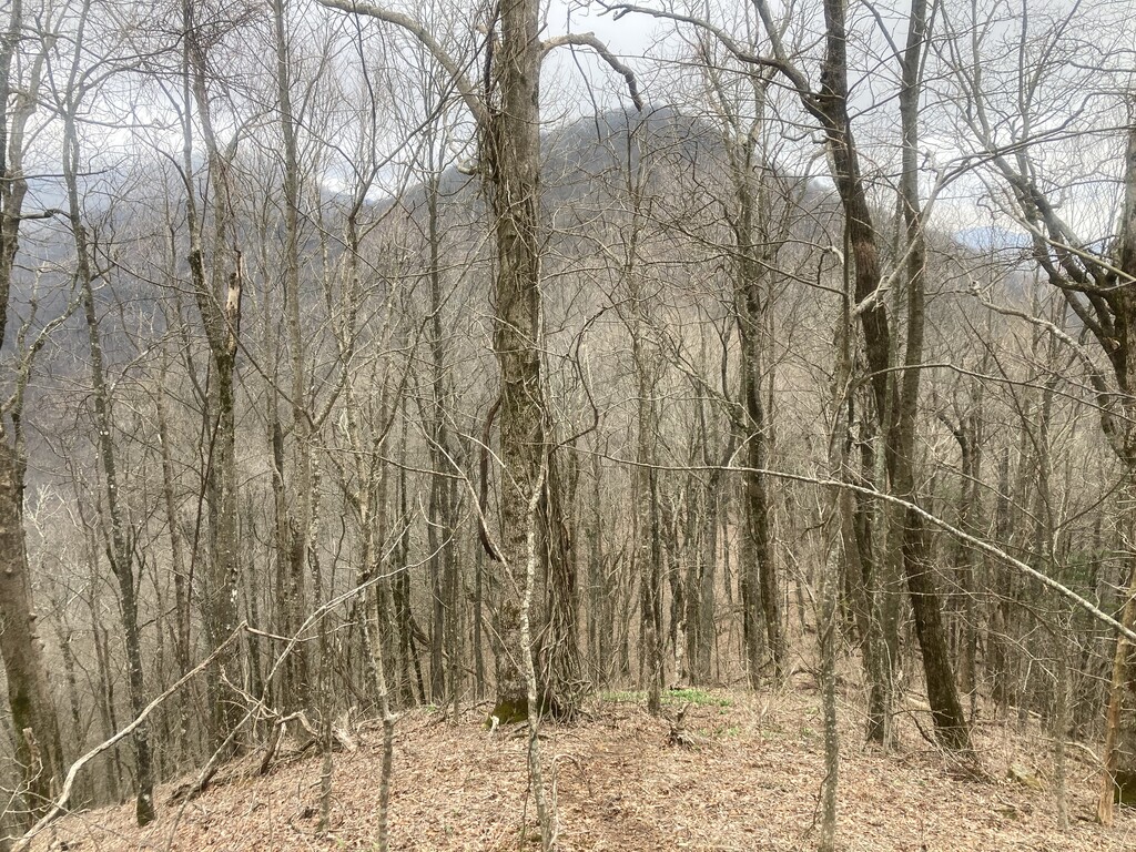
Arguably the most scenic and dramatic ridge traverse in Georgia, High Cove Ridge is in the southern Nantahala Wilderness near the border with North Carolina. It’s remote and mostly off trail, but it’s really the only way to link six of the most difficult Georgia 4000 Footers. The ridge often has steep drop offs on both sides with expansive views through the trees. There is a social trail for much of this ridge as there is often only a very narrow path where foot travel is practical. As long as you tag all six 4000 footers you can take whatever route you like. The six peaks are:
- Rich Knob
- Hightower Bald
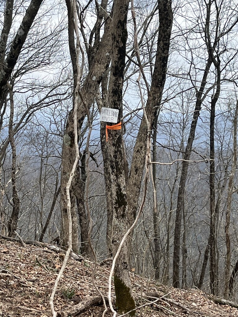
- Rattlesnake Knob
- Mayapple Knob
- Sassafras Knob
- Eagle Mountain
The start/end points are the gate at the end of Bell Gap Rd and the gate on Blye Gap Rd near the intersection of Eagle Fork Rd (see waypoints on map). Both of these gravel roads will take you most of the way to the ridge where the bushwhack starts.
Note: Instead of using Blye Gap Rd as the eastern trailhead, many people use the Charlies Creek trail to access the Appalachian Trail and approach the ridge from the south. This is also acceptable for the purposes of this route and probably doesn’t affect overall time very much as it’s a similar amount of distance and elevation gain.