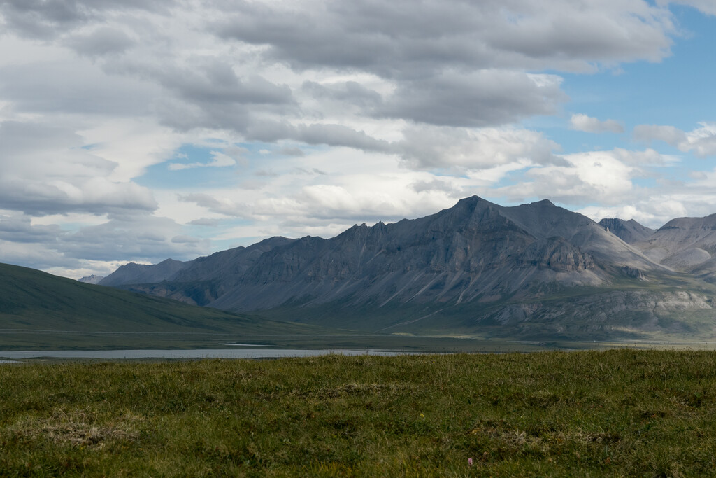
This route is something else. The great Brooks Range across Northern Alaska offers massive tundra expanses, filled with towering snow-capped peaks, even throughout the heat of summer. Lake Benchmark Mountain is one of the northernmost road-accessible mountains in the United States by the already northernmost highway: The Dalton Highway. This road, ... Read more
This route is something else. The great Brooks Range across Northern Alaska offers massive tundra expanses, filled with towering snow-capped peaks, even throughout the heat of summer. Lake Benchmark Mountain is one of the northernmost road-accessible mountains in the United States by the already northernmost highway: The Dalton Highway. This road, known to many as one of the more challenging drives available, provides direct access to this hike.
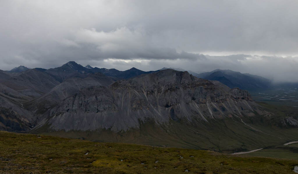
From Galbraith Lake, head to mile 271.4 on the Dalton Highway and you will arrive at a pipeline access road. DO NOT BLOCK THIS ACCESS ROAD. Begin and end where the pipeline access road meets the highway. Cross toward the pipeline and under it from the access point, and from here, route finding is on you. The path forward is pretty clear from here, just ascend up the long gradual ridgeline toward the peak to the Northeast for about 2.5 miles. Be careful of your footing, though, because the tundra landscape has many holes. Here, you'll make a sharp bend right, heading almost directly East. This is the hardest part of the climb, with a steep, 500-600' face to scramble up, though it's nothing majorly technical. The push to the summit is easy again from here, save for high winds. The summit is a few large exposed rocks, basically, and on top of one is the USGS benchmark. Return the way you came.
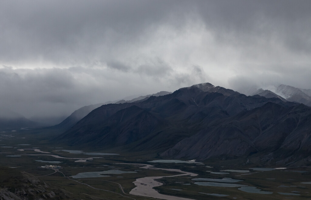
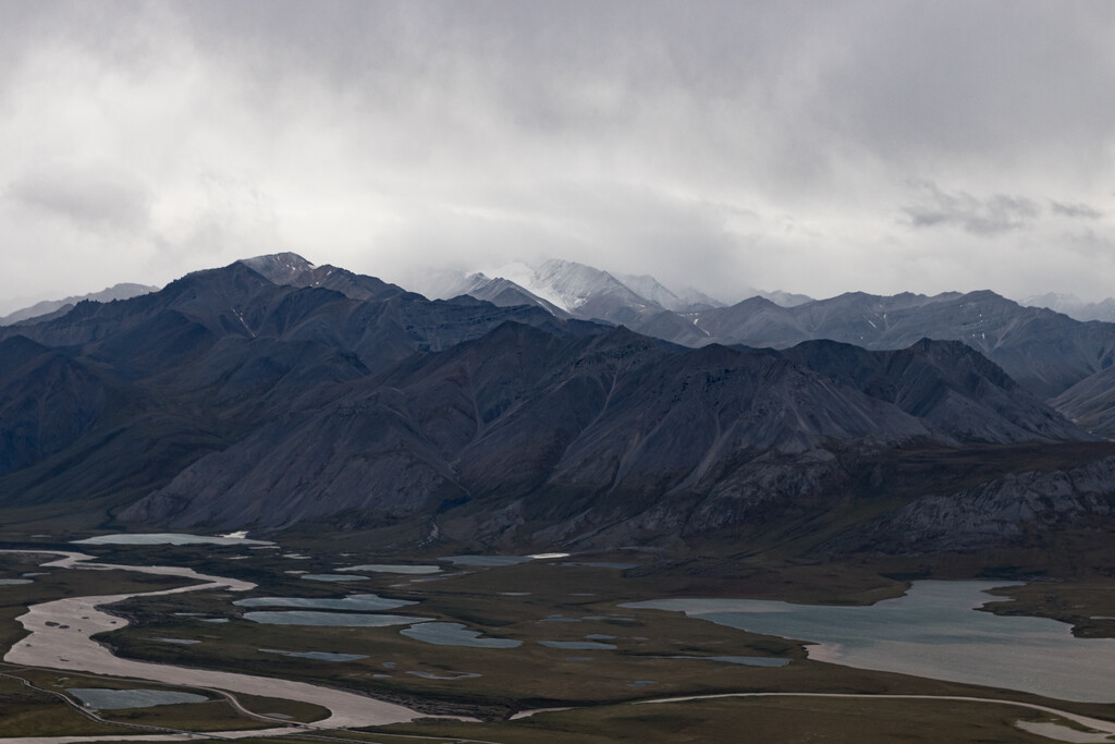
This route is just magical. Looking back south, down the valley toward Galbraith Lake is an amazing sight, and the views North, of the Alaskan North Slope, show just how flat the landscape is after crossing the Brooks Range.
Read less