Hike from Austria’s Bohemian Forest to the Carnic Alps – Ruperti Trail
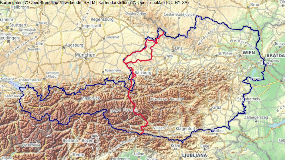
Leading 27 stages from the Bohemian Forest on the Czech border to the Carnic Alps on the Italian border, the Ruperti Trail (Rupertiweg) is a long-distance hike that is full of superlatives. Over 520 kilometres (323 mi), you cross the provinces of Upper Austria, Salzburg and ... Read more
Hike from Austria’s Bohemian Forest to the Carnic Alps – Ruperti Trail
Leading 27 stages from the Bohemian Forest on the Czech border to the Carnic Alps on the Italian border, the Ruperti Trail (Rupertiweg) is a long-distance hike that is full of superlatives. Over 520 kilometres (323 mi), you cross the provinces of Upper Austria, Salzburg and Carinthia in Austria and hike a short section in Germany. The route, also known as the ‘Austria Long Distance Trail 10’, has connected the towns of Bärenstein and Nassfeld since 1979.
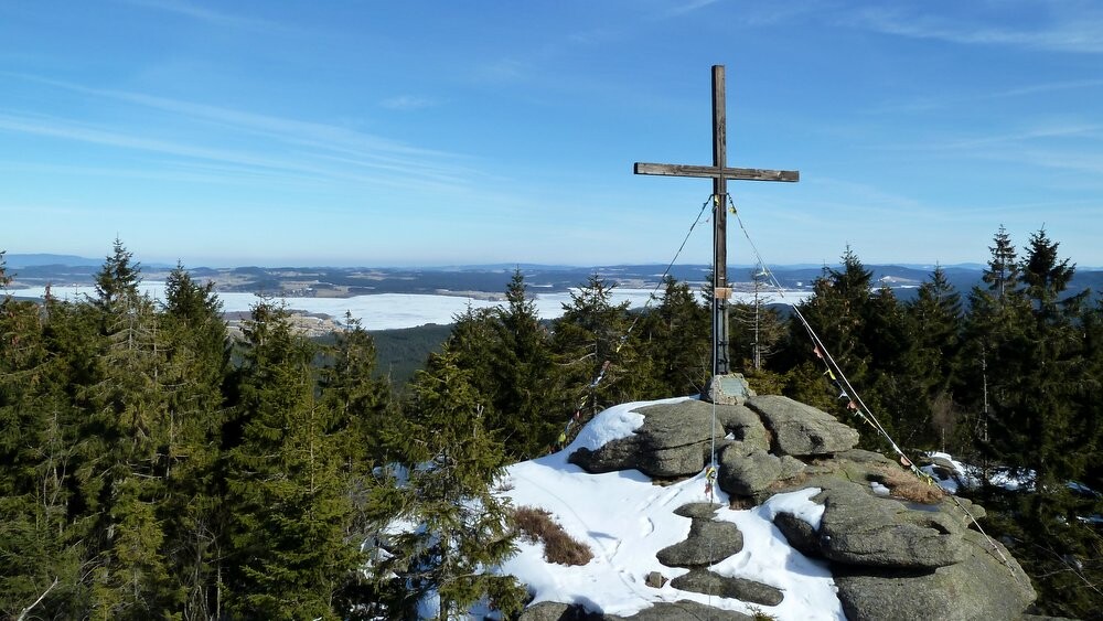
The rolling hills of the Hausruck region and Kobernaußer forest characterise the first stages as you hike through a colourful cultural landscape with village and farms. In Oberkappel town, you choose between the Innviertelweg trail and the alternative Inn-Salzach-Uferweg route. In this Collection, I’ll guide you along the second option. The two trails merge again in Ostermiething municipality.
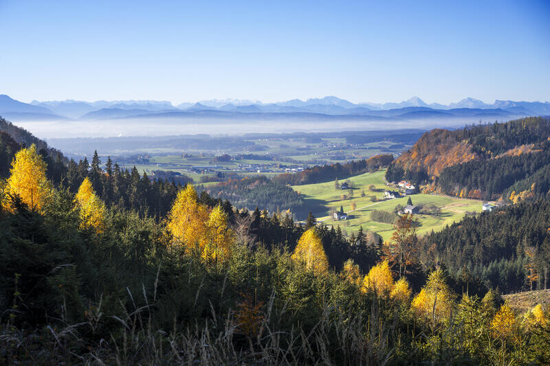
A cultural highlight on this adventure in this beautiful city of Salzburg, which you visit on stage 11. After this, the route becomes alpine: you climb the Untersberg and cross the border to Bavaria shortly after. Many highlights await you in the beautiful Berchtesgadener Land, such as the famous Königssee lake. Back on Austrian soil, you hike across the Steinerne Meer karst plateau with its rugged peaks, before reaching the Pinzgau and the Hohe Tauern National Park.
On stage 20 of the Ruperti Trail, you move from the province of Salzburg to Carinthia. The section along the Reißeck high-altitude trail takes you up to 2,800 metres (9,186 ft) so surefootedness and a head for heights are sometimes needed. The trail continues southward via the Drau Valley until you reach the eastern Carnic Alps and the official end point of the Ruperti Trail, Nassfeld.
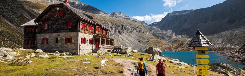
Between the rustic huts where you spend many nights, lie wide alpine meadows, fascinating peaks and verdant valleys. The ascents of the Kitzloch and Garnitzenklamm peaks on stage 17 and the last day respectively are also spectacular. The daily stages are sometimes long and can include more than 1,000 metres (3,280 ft) of ascent and descent. They demand a lot from you. Make sure you have the appropriate fitness level and equipment for the alpine sections. Some stages end in places with a range of accommodation and others finish at specific huts – make sure you book in advance.
If you travel to the starting point by car, park in Grünwald and hike to Bärenstein, the official starting point of the Ruperti Trail. Alternatively, you can arrive by train and set off from Aigen-Schlägl. You can catch a bus from Nassfeld at the end. For more information, see: nassfeld.at/en/Service/Anreise-Mobilitaet. If you want to split the trail rather than hike it all in one go, you can find train stations in Mattighofen, Salzburg, Berchtesgaden, Bad Hofgastein, Spittal an der Drau, and elsewhere. I hope you have a great time on the Ruperti Trail.
https://www.alpenverein.at/weitwanderer/weitwanderwege/rupertiweg.php
(Source: komoot.com)
Read less