This route begins in the "marco 22" where starts the trail on the graciosa road and goes backwards from the more common way, ending in the conservation park facility center called IAT.
This mountain range is well known has one of the most difficult and technical trails in Brazil, all in Amazon Forrest with more than 30 mountains.
Typically ... Read more
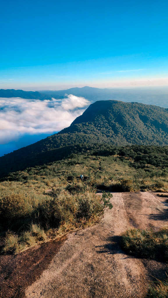
This route begins in the "marco 22" where starts the trail on the graciosa road and goes backwards from the more common way, ending in the conservation park facility center called IAT.
This mountain range is well known has one of the most difficult and technical trails in Brazil, all in Amazon Forrest with more than 30 mountains.
Typically mountaineers takes to 3 to 6 days to complete it in the other direction. Belives that Backwards is more difficult, even with a little more gain only.
This line was done with more mountains than "only pass trough", making ir more demanding.
There're 12 mountains reached in this route, Agudos da Marmosa, Agudos da Cuíca, a short trail miss before Pico Ciririca, Cedro, Camapuã, Tucum, Itapiroca, Pico Paraná (the highest one in south of the Brazil), Caratuva, Taipabuçu, Ferraria and Ferreiro.
This track is the FKT and I'll post a video of it very soon and a more detailed description in my website www.thehillmethod.com.br
Read less