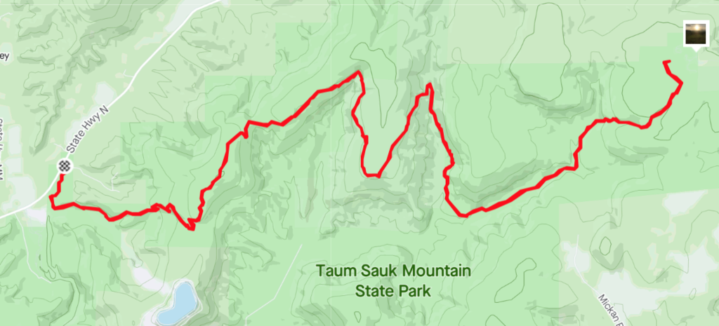
Location
Missouri,
US
Distance
25 mi
Vertical Gain
3,800 ft
Description
GPS Track
Taum_Sauk_.gpx1.85 MB
FKTs
Male
| Joe Miller | 4h 15m 10s |
Male
| Christopher Luhman | 2h 31m 10s | ||||
| Eric Braun | 3h 29m 56s |
Images
Comments
In town for a family visit. If I can get away might try to establish the FKT for the highway 21 climb. Won’t be too fast, but I’ll go as quick as my flatland legs will carry me and get pics on the way.