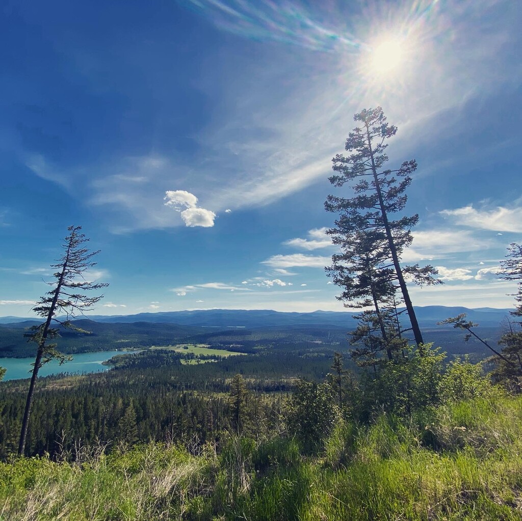
For generations, community members and visitors have enjoyed recreating on thousands of acres of State Trust Land girding Whitefish, Montana, a former timber town transformed into a tourist destination due to its world-class ski area on Big Mountain and its proximity to Glacier National Park. For hikers, bicyclists, cross-country ... Read more
For generations, community members and visitors have enjoyed recreating on thousands of acres of State Trust Land girding Whitefish, Montana, a former timber town transformed into a tourist destination due to its world-class ski area on Big Mountain and its proximity to Glacier National Park. For hikers, bicyclists, cross-country skiers and other outdoor enthusiasts, this forested land offers stunning views and challenging terrain, as well as premier wildlife habitat and one of the largest intact ecosystems in the Crown of the Continent.
However, with the rapid urbanization and development pressures bearing down on western communities, opportunities to access the natural environment just minutes from town are becoming increasingly rare. To ensure this privilege is available to future generations, in 2005 the nonprofit Whitefish Legacy Partners set to work conserving 13,000 acres of State Trust Lands while collaborating with private and public partners to broker conservation easements on thousands of additional acres, furnishing permanent protections on the open spaces girding Whitefish Lake. The centerpiece of the effort is a recreational trail network encircling the greater Whitefish area, and stitching together the patchwork of protected parcels, which were previously poised to be sold off for development. In the past decade, the network of trails has grown to include 50 miles of single-track, with each new section representing another conservation success.
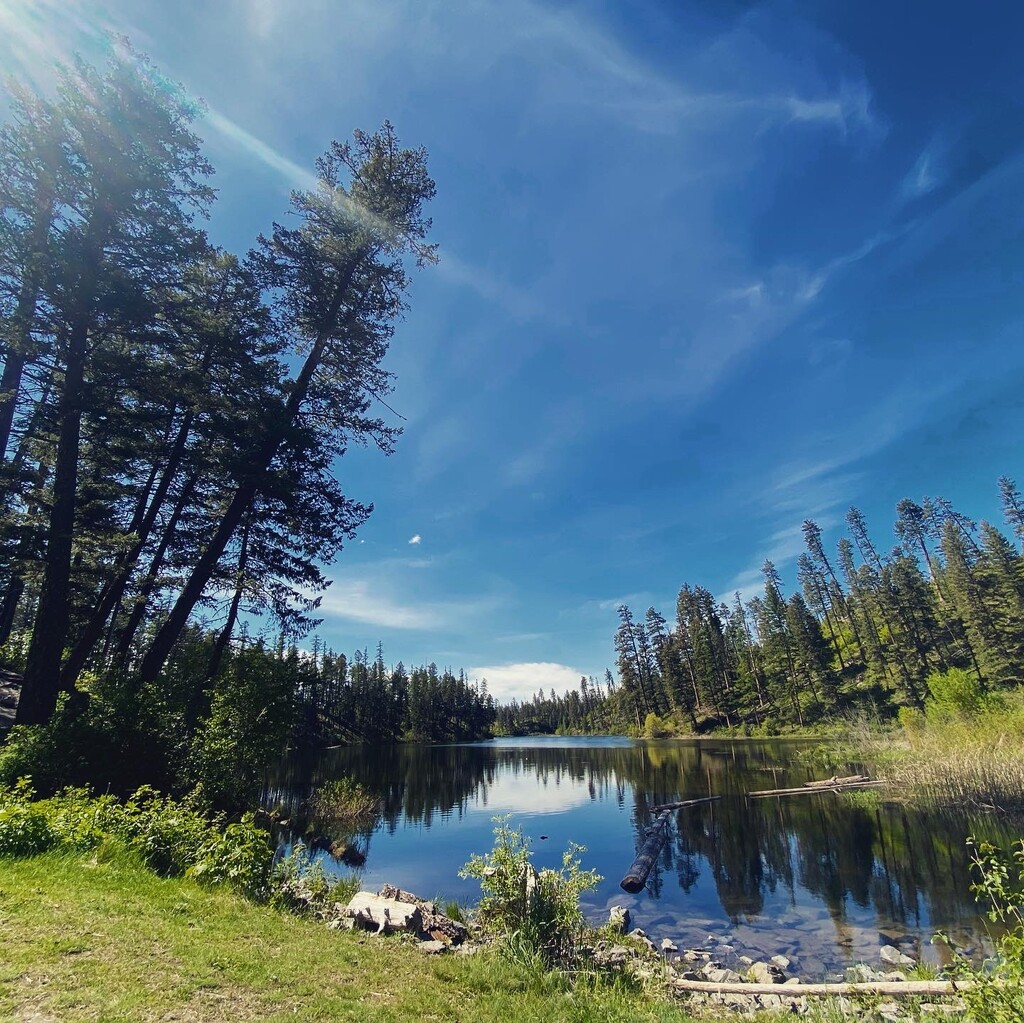
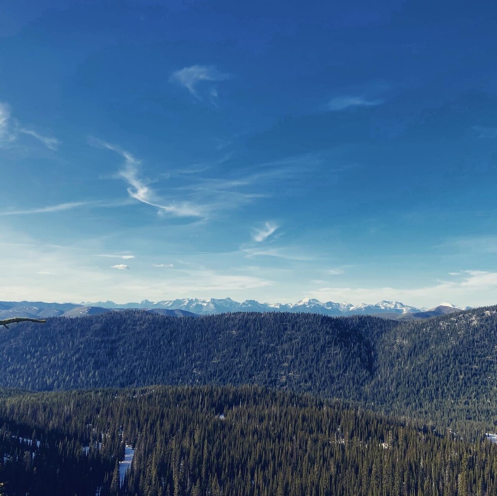
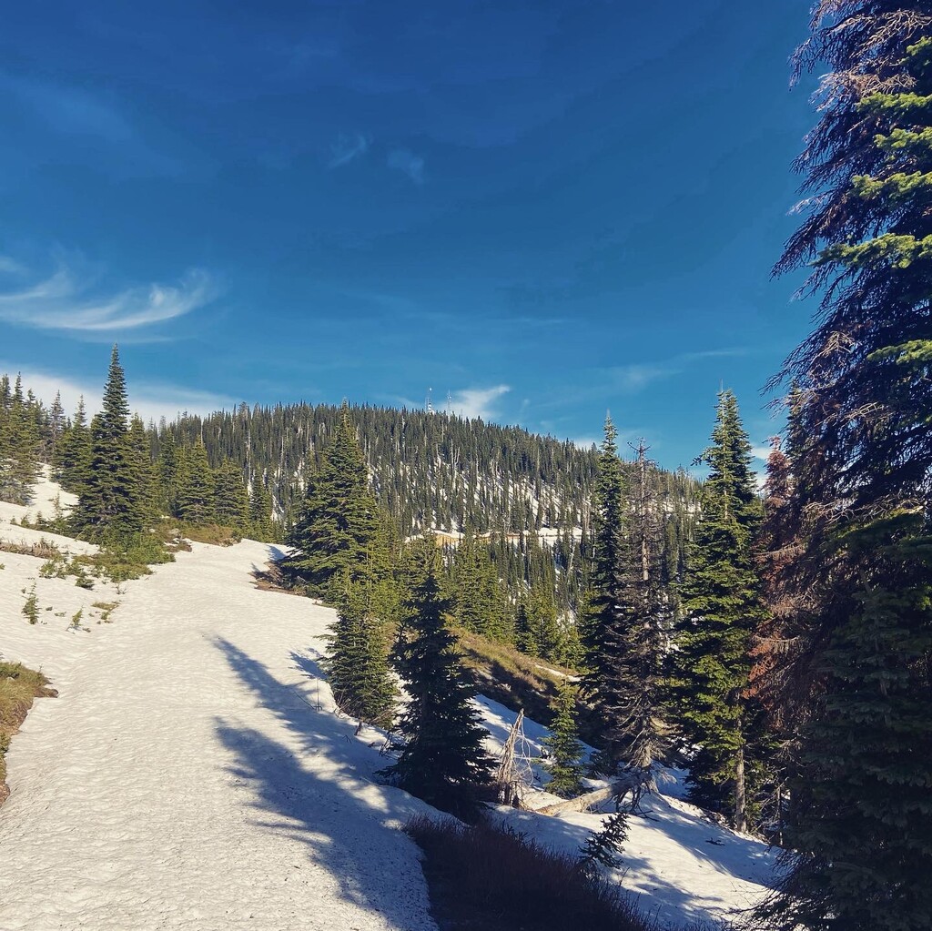
This route highlights the remarkable conservation achievements in the Whitefish community by linking up the existing network of trails while teasing out the missing puzzle pieces, as set forth in the 2006 A Trail Runs Through It Master Plan. It begins at Lion Mountain and runs through Skyles, Beaver Lake, Woods Lake, Swift Creek and Smith Lake, then connects to Taylor Creek Road via old logging roads and tops out on Big Mountain before dropping down to the Reservoir trails in Haskill Basin and descending back to town.
The braintrust behind the Whitefish Trail has been setting the bar for grassroots conservation and collaboration for more than 15 years, and witnessing the trail system's growth and evolution as it tracks a legacy of environmental stewardship has been a great pleasure.
For more information, visit whitefishlegacy.org.
Support your local trails! The upshot is about so much more than the trail itself.
Read less