Location
District of Columbia,
US
Distance
8.15 mi
Vertical Gain
723 ft
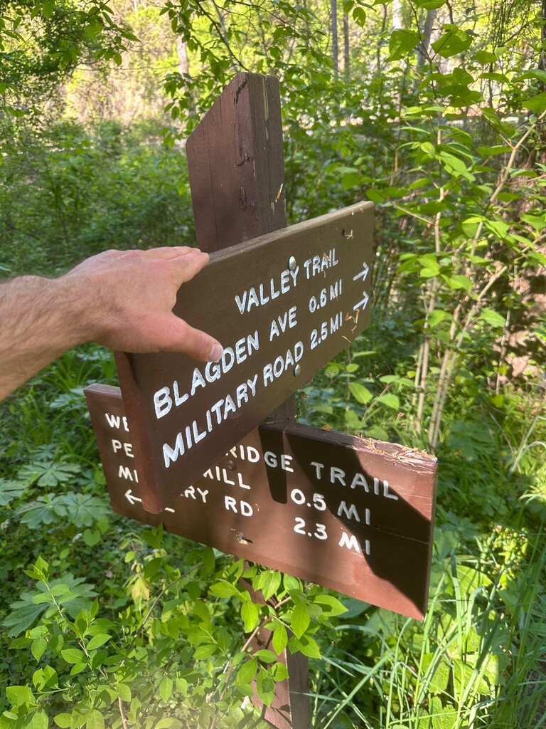
Description
GPS Track
Setting_A_New_FKT_Route_.gpx458.4 KB
FKTs
Male
| Jeff Albert | 58m 54s | ||||
| Joshua Lasky | 1h 0m 15s | ||||
| Sam Trioli | 1h 7m 31s |
Images