Overview
The recreational trails throughout the West Hartford Reservoirs & Reservoir 6 are a hidden gem in central Connecticut. Since 1929, the watershed land features 3,000 acres of woodlands, 30 miles of paved, dirt and gravel trails and intersects with both the Talcott Mountain State Park and Metacomet Trail networks.
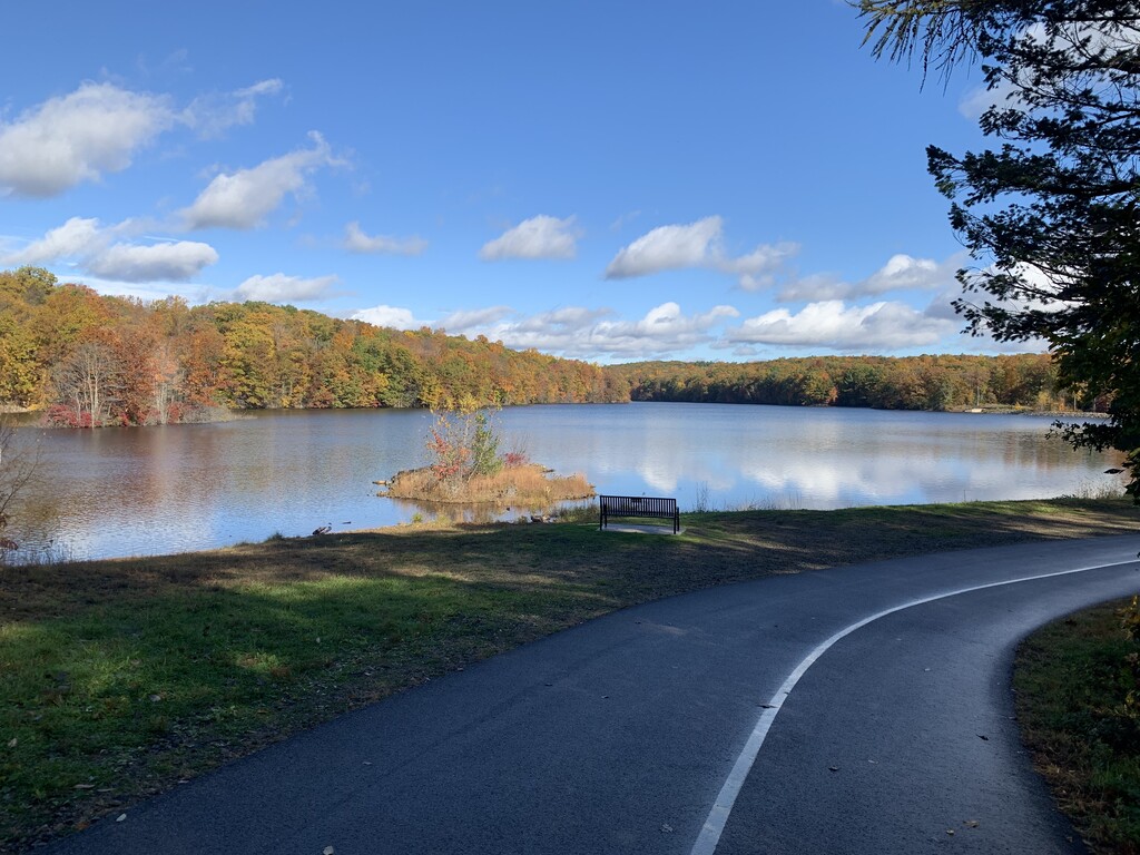
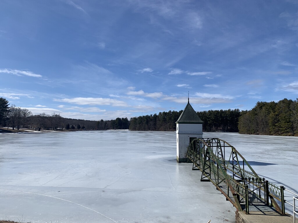
However, only one of five reservoirs is visible from roads (Route 4) The other reservoirs are tucked away into the woodlands, and takes some effort to get to from the parking areas.
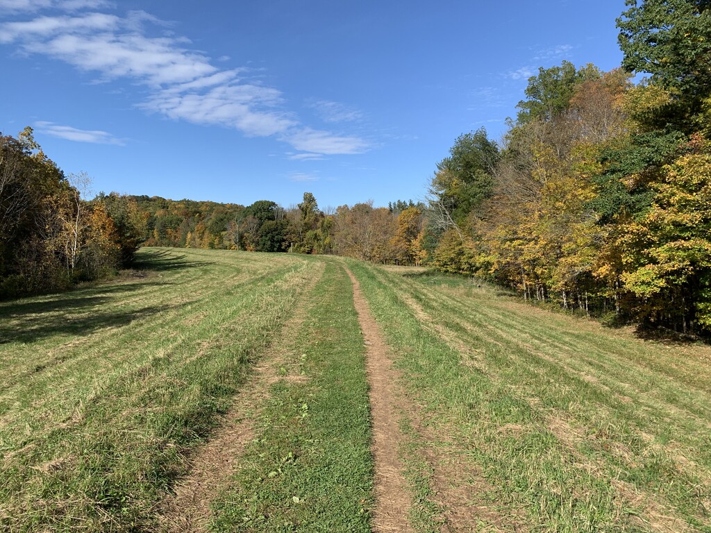
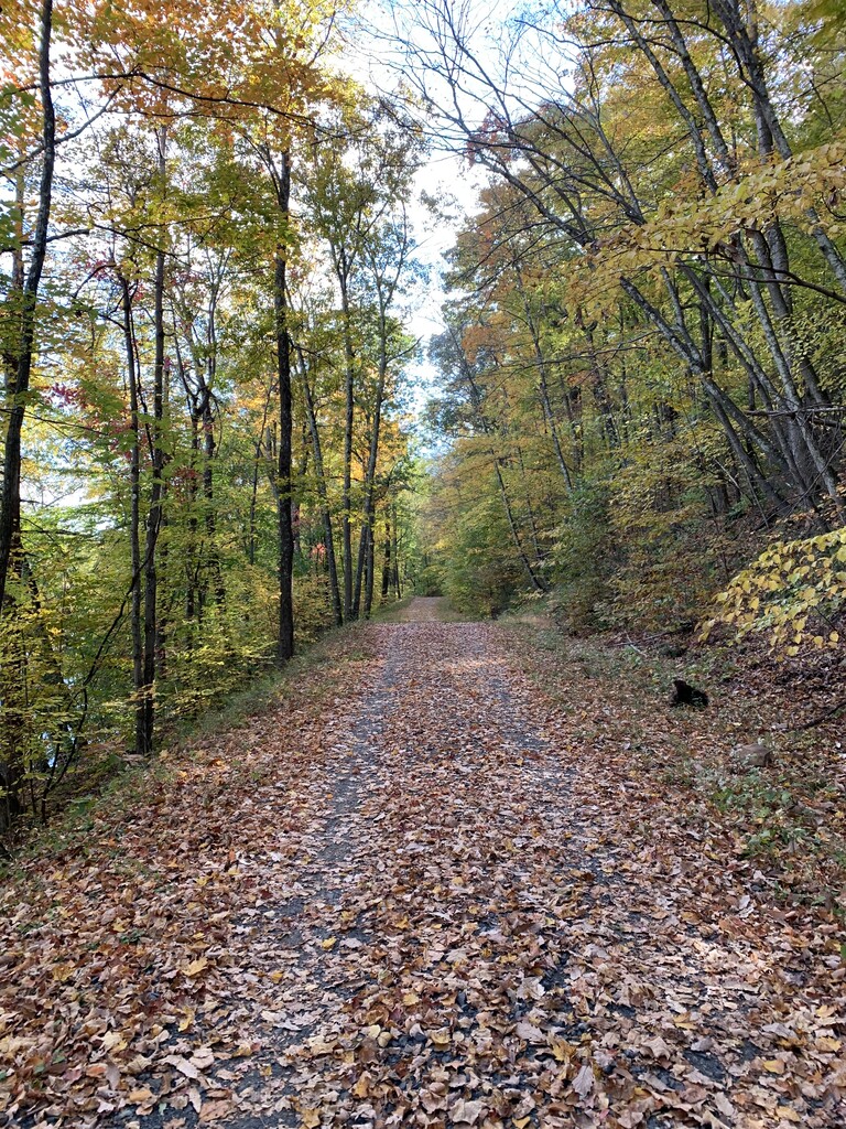
The reservoirs are described as a nature lover’s paradise, featuring New England’s flora and fauna, historic trail markers and tranquil woodlands. Open from sunrise to sunset in every season - fall foliage is striking when timed right - the reservoir trails are ideal for jogging, cycling, hiking, mountain biking, cross-country skiing and snow shoeing.
The Route
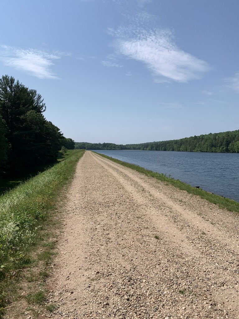
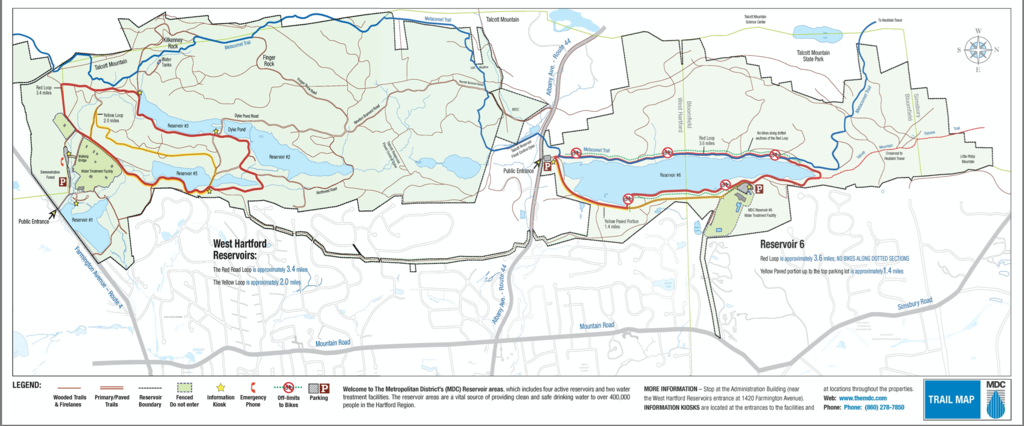
This 14.5-mile trail route passes each reservoir in West Hartford, Connecticut. The mostly wide, dirt and crushed gravel trails loops around the main mountain biking trail network, with a small portion cutting through the Red (paved) and Yellow Loops (dirt), illustrated on a MDC map (and attached image).
The route begins at Reservoir 1, the main entryway gatehouse, which can be seen from the main road (Route 4/Farmington Avenue). The route continues to the Yellow Loop, onto the Red Loop and into the mountain biking trails. Note: use caution when crossing Route 44 to Reservoir 6.
Turn-by-Turn Directions
Start – Reservoir 1 entryway gatehouse
Continue around Reservoir 1 into woodlands
Right turn on dirt path parallel to residential fence
Merge onto Red Loop paved path
Left at Reservoir #5 bridge (cross bridge) to Yellow Loop (left at Yellow Loop trailhead)
Merge/right onto paved Red Loop toward Reservoir #3
Left onto Reservoir #2 bank/dirt trail, follow it back down to paved Red Loop
Left onto paved Red Loop, stay left at junction and left up the hill at next junction
Left onto Northwest “Road,” a dirt trail (sign on tree: mountain biking trail sign)
Right onto narrow, uphill dirt trail toward Talcott Mountain Flood Control Dyke
Right onto narrow cliff, dirt trail into woods toward Flood Control Dyke near Route 44
Cross Route 44/Albany Avenue to Metacomet Trail
** USE CAUTION CROSSING ROUTE 44/ALBANY AVENUE **
Left on Reservoir #6 dirt trail and loop back to Route 44/Albany Avenue (use caution crossing road)
Right onto Talcott Reservoir Flood Control Dyke (parallel to Route 44/Albany Avenue)
Continue on Newton Brainard “Road,” crushed gravel trail (becomes Dyke Pond Road)
Continue straight down paved Yellow loop (cross bridge again)
Return to Start Line to Finish (Entryway Gatehouse)