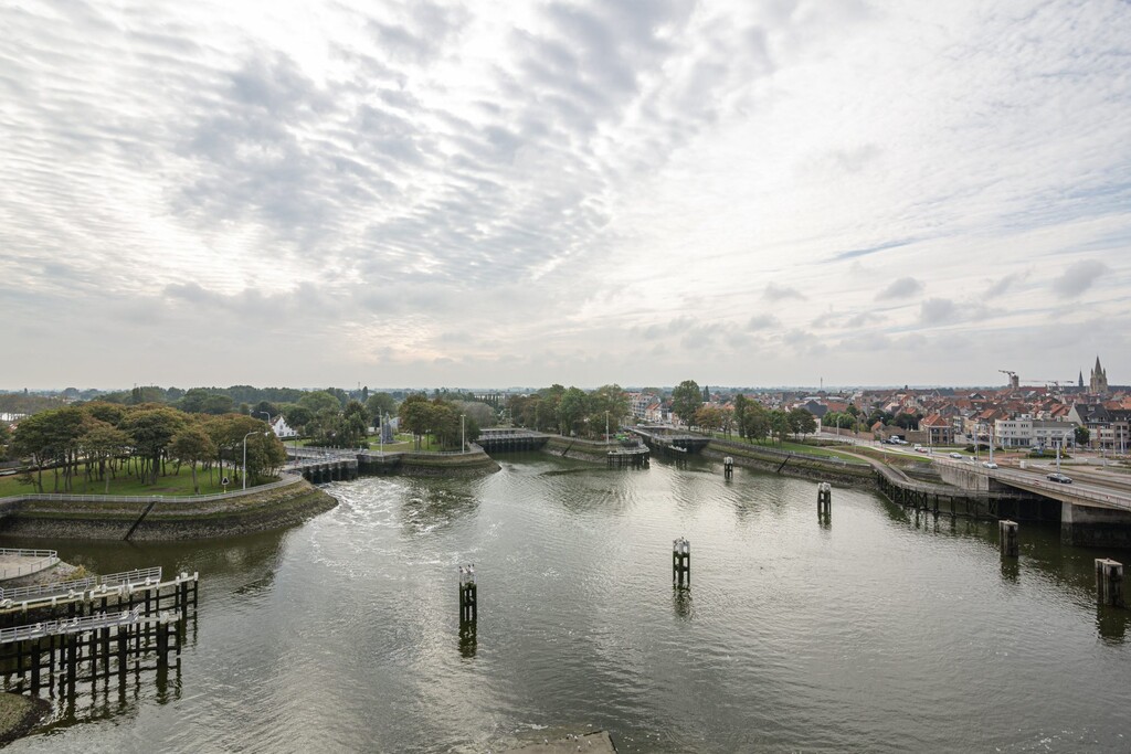
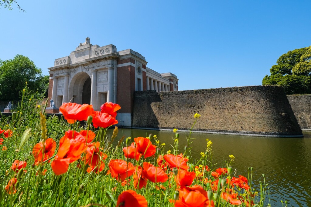
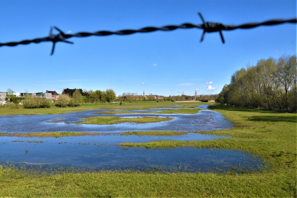
As a reminder of the first pilgrims who once started their journey here, the Via Yprensis starts at the head of the Westerstaketsel, 500 m far into the North Sea. Along the mouth of the Yser and the center of the city you come to the Ganzenpoot. There Karel Cogghe and Hendrik Geeraert succeeded in October 1915 in opening the sluices and flooding ... Read more
As a reminder of the first pilgrims who once started their journey here, the Via Yprensis starts at the head of the Westerstaketsel, 500 m far into the North Sea. Along the mouth of the Yser and the center of the city you come to the Ganzenpoot. There Karel Cogghe and Hendrik Geeraert succeeded in October 1915 in opening the sluices and flooding the Yser plain, stopping the advance of the Germans. The Via Yprensis follows part of the front region along the banks of the Yser, through nature reserves and small villages. The thought of WWI is never far away. The Via meanders on low-traffic roads past Boezinge and Steenstraete to Ypres. On the way to St James's Church, the Via passes the Menin Gate, the symbol commemorating the fallen of WWI. Here you can get goosebumps every evening when you hear the Last Post. Via Komen/Comines and Wervik, the Via Yprensis enters France to connect to the Via Brugensis after about 70 km.
https://compostelagenootschap.be/op-weg/pelgrimswegen/stappen/vertrekken-belgie-luxemburg/via-yprensis/
Read less 
Comments
Tomorrow 21st March 2025 I will be going for an FKT on this route.