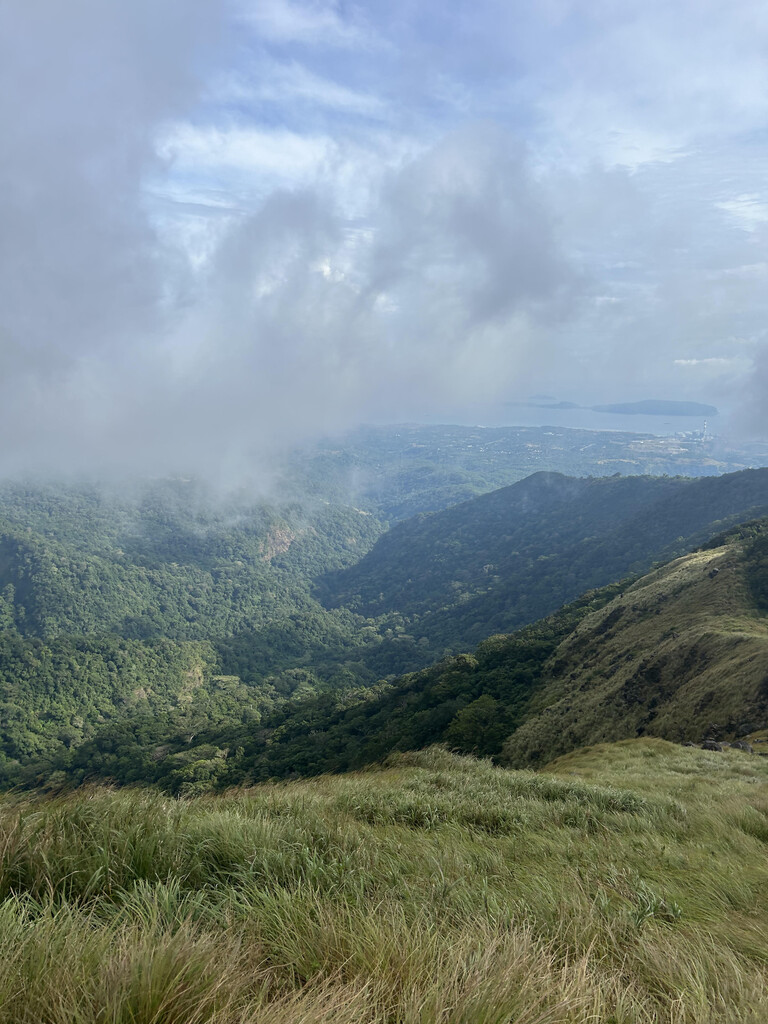
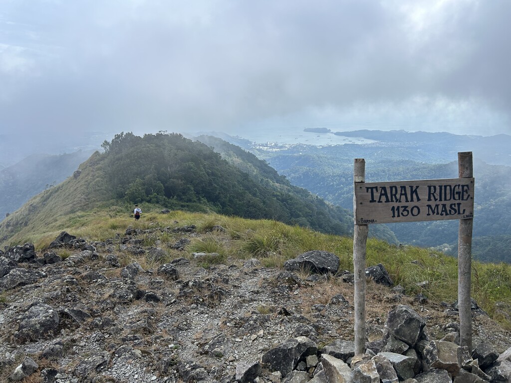
The Bataan Sea-to-Summit is an 8.96 mile run that begins with a foot in Manila Bay salt water before heading upland to jungle trails then ascending 4,019 ft. to Bataan’s Tarak Ridge, the most well-known peak on Mount Mariveles, Bataan’s highest stratovolcano.
The Bataan Peninsula made global headlines during 1942 thanks to the infamous Battle of Bataan and resulting Bataan Death March. The battle marked a pivotal moment in the Pacific theater, representing a valiant stand by the American and Filipino forces against an overwhelming Imperial Japanese Army force which served as a rallying cry throughout the rest of WWII.
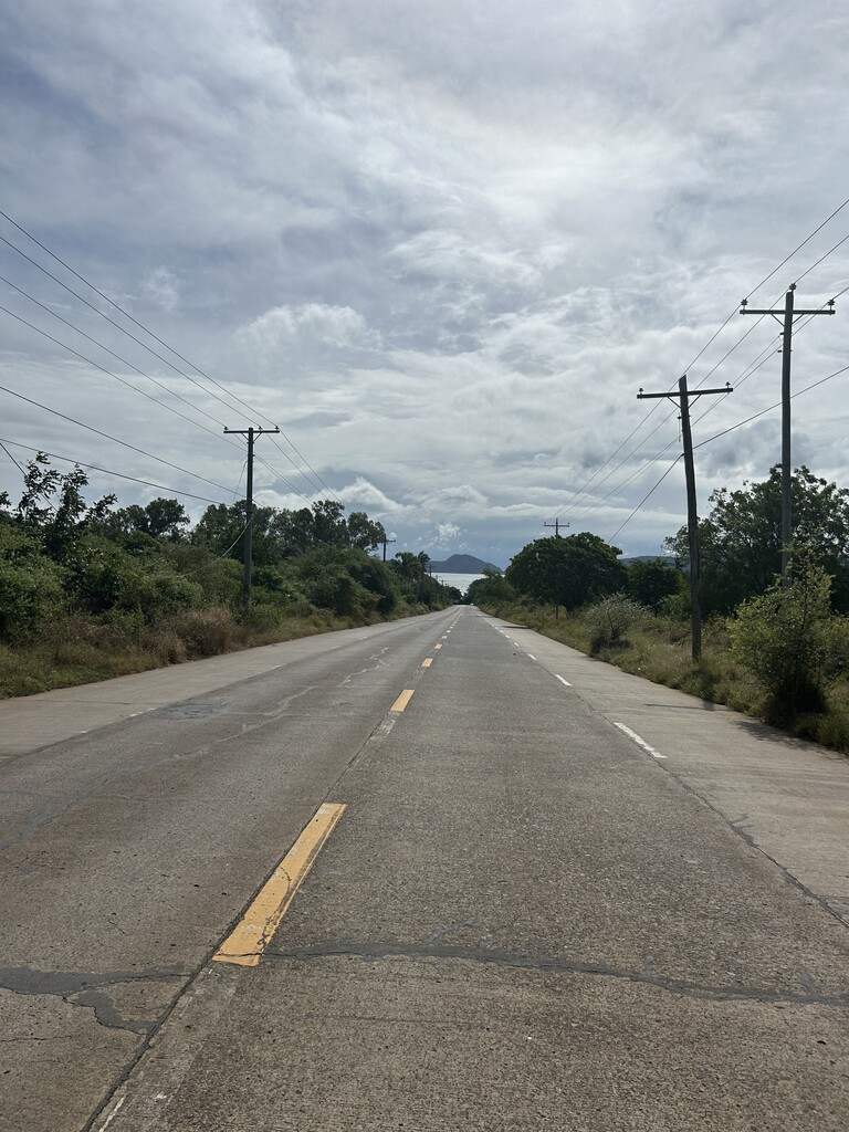
The Bataan Sea-to-Summit begins at Marina Bay’s beach with a wet shoe then climbed on Kamaya Point Rd before passing Maritime Academy of Asia and the Pacific, onto Alas-Asin Road, left onto Bataan Provincial Highway 301, then right onto Zinia Street which gradually fades to gravel and the beginning of Tarak trail. Followed the trail over long grass, slick roots and rocks, and near-vertical slopes for the next 5+ miles to the top.
Quick heads up: there are numerous places with risk of treacherous falls and several fork-in-the-road decision points without markings. Wise to hire a local guide (can rent in town at base of Tarak) who can help navigate and reduce risks of a dangerous accident alone in the jungle.