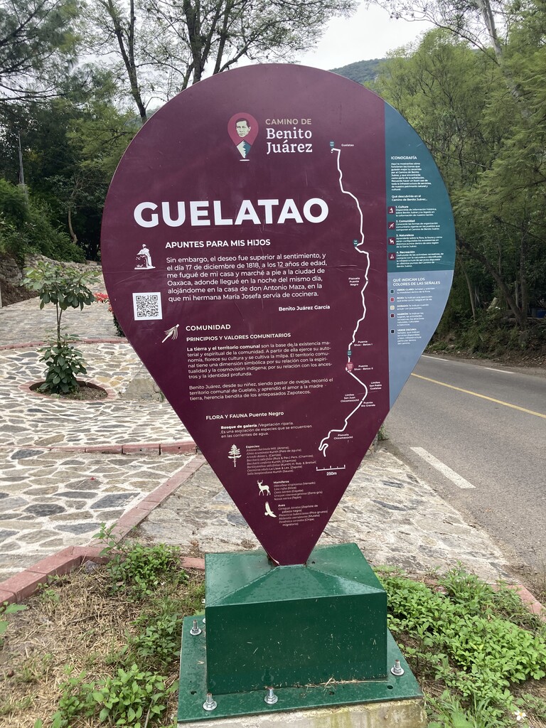
On March 20, 2022, Mexico’s president, Andrés Lopez Obrador, announced the project, “El Camino de Benito Juárez”. The path, made in mind for hikers, runners, and cyclists, follows the path that Benito Juárez, (Mexico’s most beloved president) took from his Zapotec hometown of San Pablo Guelatao, to the city of Oaxaca when he was just 12 years old. The year was 1818 and Benito Juárez was looking for opportunities to further his education.
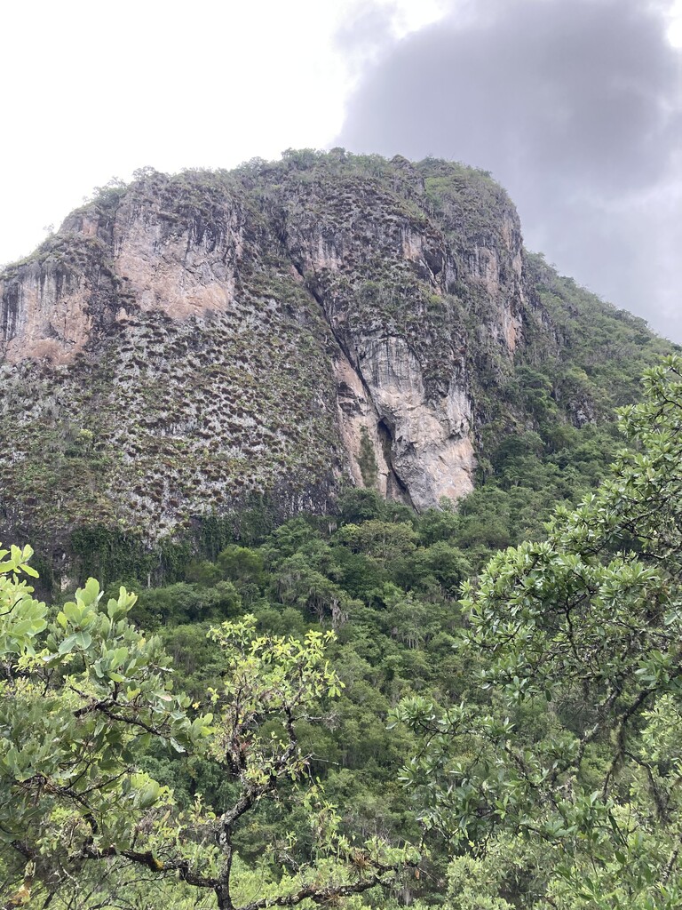
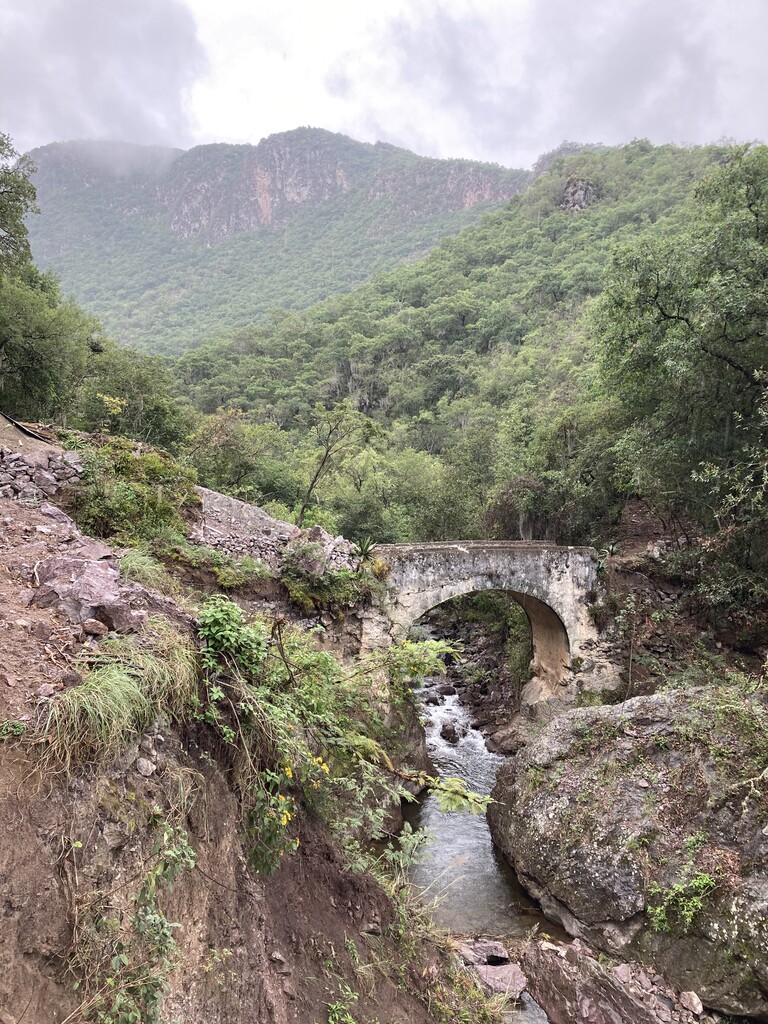
Over 200 years later, his route to Oaxaca is a big federal project. The path will be officially inaugurated by the president in March of 2024 and will be one of Mexico’s longest designated trails (if not the longest). The path starts at the Benito Juárez monument along the Panamerican highway that runs through Oaxaca City. For the first 2.7 miles one has to run north along highway 175 where there is the first indication of the path, a pedestrian / cyclist bridge. For the next five miles follow a dirt path that roughly parallels highway 175 until one reaches the village of El Estudiante. In the first 8 miles very little of the official path had been built while running here in December of 2023. After 8 miles there is a bridge for pedestrians and cyclists that is built over highway 179 (built especially as part of the Camino). Upon exiting the ramp, turn right and follow the cement road that goes up past another village, Tierra Colorada, and finally intersects a dirt road at approximately mile 11.8. After mile 8 there are 3 sections of the path that are shared with a road (3.8 miles, approximately 2 miles, and 1 mile in order that they are run.). The biggest climb (from mile 8 until mile 12) is 2600 feet. At mile 16 the path runs through the village of El Punto, at mile 19, Las Ánimas and at mile 27, Chicomezúchil.
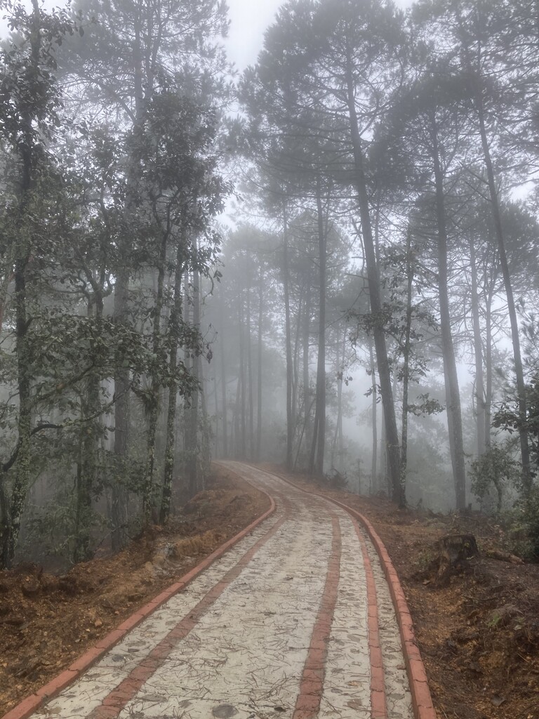
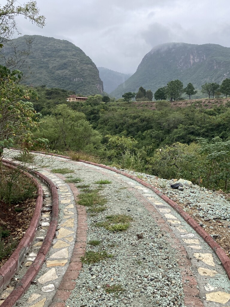
Much of the completed path of 28.8 miles is made up of part cement brick, rock, poured cement and sometimes sections of dirt 3 feet wide along the center (see pictures).
What makes this path difficult are the steep climbs and descents with little to no switch backs. Descending on steep concrete covered in pine needles makes running with any speed difficult.
The fact that I ran on a cloudy day in December made me choose only one handheld with an UltrAspire vest. This worked well as I was able to fill up on electrolyte drink at a small family owned grocery store at miles 8 and 16. Had it been sunny I would have opted with a pack with a 2 liter bladder or 2 handhelds. The last half of the run is my favorite part but would offer very little shade if it’s sunny.
This run was my 3rd run of the whole path. The first time I ran “Camino” I did have to stop to ask where the path continued on maybe 3 occasions.
Almost all of the FKTs in Mexico are centered around a particular mountain as there are no designated long paths or trails.
Recommendations:
• Carry plenty of water (especially in the dry hot season of March, April, May or if it’s sunny).
• Carry a light rain jacket as the weather in the mountains can change fast. It often rains in the afternoons). Also, it’s cooler at 9,200 feet, especially in the morning.
• Download this route on your watch and follow it.
• Follow the normal protocols of running in remote mountain areas