Location
Minnesota,
US
Distance
3.4 mi
Vertical Gain
650 ft
Description
GPS Track
eagle-mountain.gpx26.67 KB
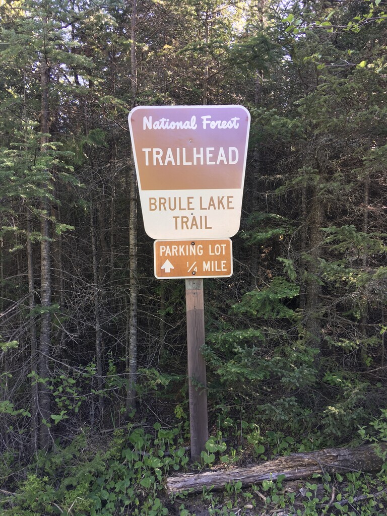
brule-lake-trail.gpx25.21 KB
FKTs
Male
Female
| Tryg Solberg | 24m 55s |
| Laura Matacia | 40m 38s |
Male
Female
| Matthew Matta | 1h 27m 49s |
| Kendra Stritch | 2h 10m 40s |
Male
Female
| Matthew Matta | 3h 2m 21s |
| Kendra Stritch | 4h 21m 22s |
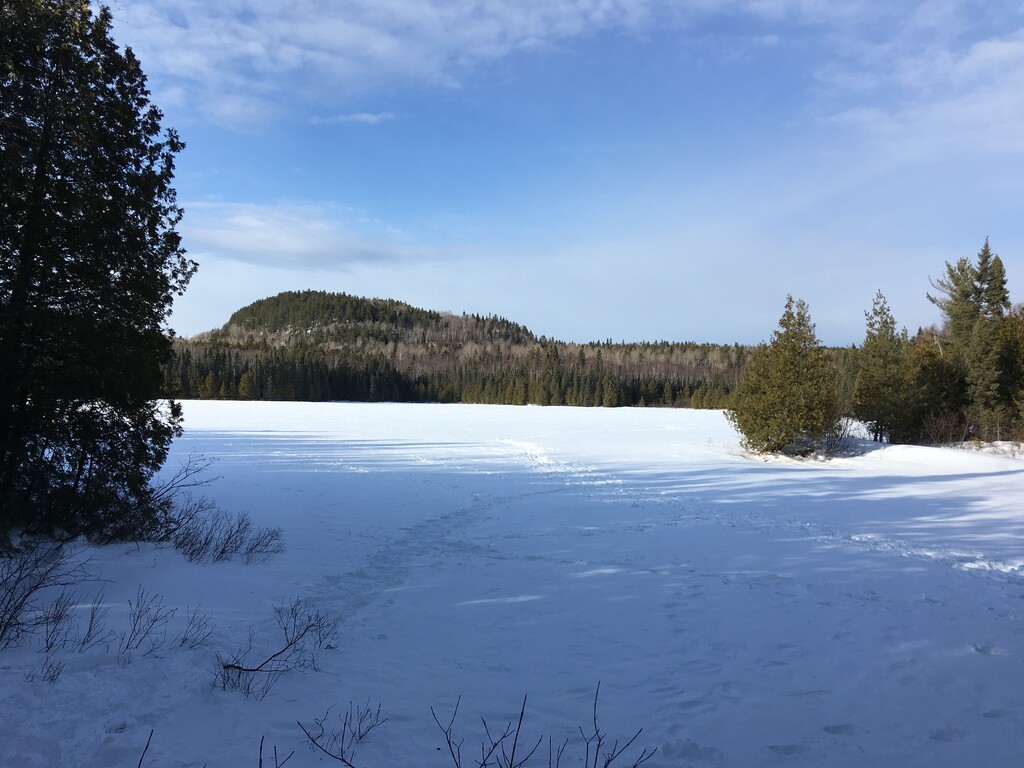
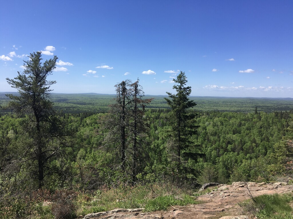
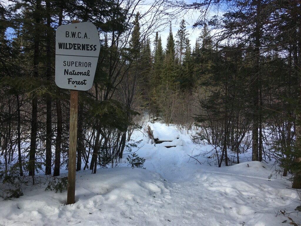
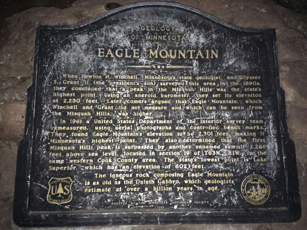
Images