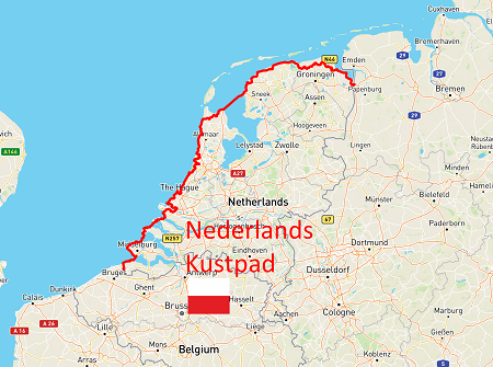
Het Nederlands Kustpad staat ook bekend als de LAW5. Het 700 kilometer lange traject door Nederland is onderdeel van de Europese lange afstand wandelroute E9 and the North Sea Trail. Deze langere wandelroute volgt de kustlijn van Engeland, België, Nederland, Duitsland, Denemarken en Noorwegen. Het Nederlands Kustpad is opgedeeld in verschillende sub-LAW-trajecten, die ook weer een eigen naam hebben.
The Dutch costal path also known as LAW5 is the longest hiking path in the Netherlands of almost 700 km. All long distance paths are describe here, where you will find ample information about the route. It is divided in 3 distinct sections (LAW5 deel 1-3), but there are also alternative paths in some places. The FKT route combines the most costal route sections that is continuous all the way. Each of the three sections are also FKT variants of their own and you are able to do FKTs for each as well as the whole route.
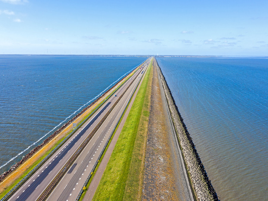
The first section is from the village of Sluis, close to the Belgian border, until the Train station by the waterfront at Hook van Holland. The second section goes from Hook van Holland to the island on Afsluitdijk at the provincial border between North Holland and SW-Frisia. The third section is from Afsluisdijk to Nieuweschans by the border with Germany close to the campground Holland Poort. There are gpx files available here, one for each section, as well as the whole route. The LAW homepage provides gpx files for each sub-section.
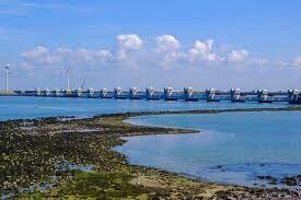
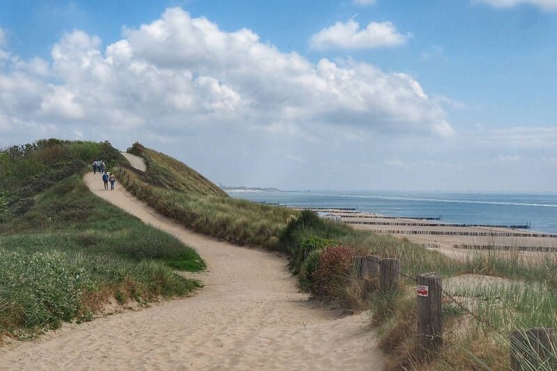
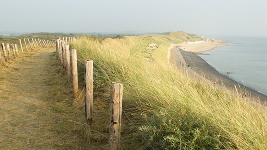
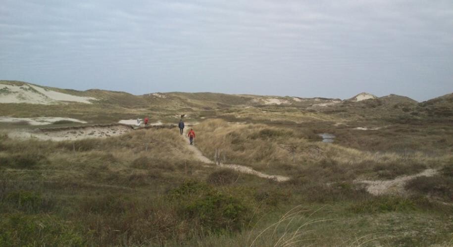
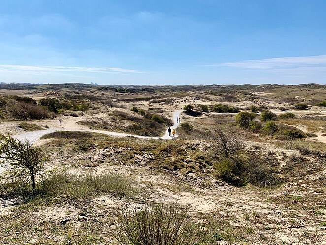
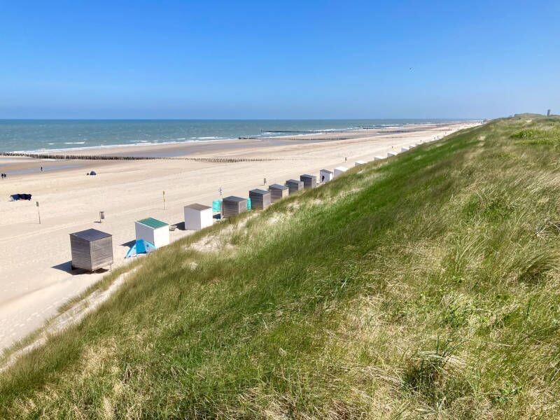
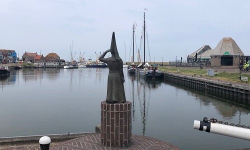
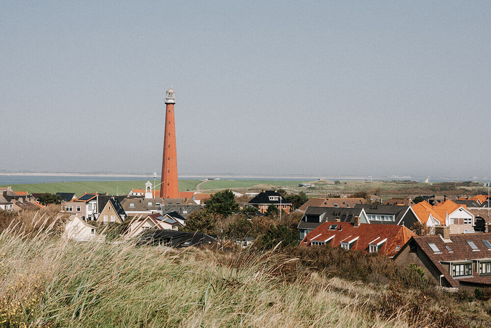
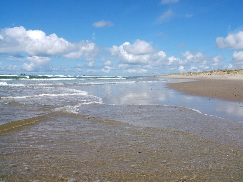
Although the route is costal and you will experience the sea throughout, the sections are distinctly different. In the first section you are island hopping and will cross some of Europes major estuaries of the rivers Schelde, Waal, and Rhen. In the second section you will experience a protected dune-landscape and endless beaches as well as true cites. In the third section, to the north, you follow the mudflats (Waddenzee) inside a rim of islands. Throughout, the costal areas are rich in birdlife and a variety of habitats. Please note that numerous places are not open to the public to protect wildlife and water reservoirs. The route does deviate from the coast in many places to visit other interesting or historic places. Likewise, several villages and towns are visited, and the route passes by castles, museums, fortifications, churches, campgrounds, and grocery stores for your supplies. Spectacular view points are numerous as well, in this mostly flatt land any hill or ridge provides an opportunity for great vistas. You also visit two major historic cities away from the seaside. First den Haag and secondly Haarlem, where the path takes you downtown and link to the major train station. Throughout, the path links to train and bus stations for access to sub-sections and possibility to cut the hike short.
It is not only the sea and river estuaries that you will experience in terms of water. Throughout, there are canals for water transport and the larger ones are also for sailing and transporting goods. If you pay attention you will learn to understand how these costal lands of the Netherlands came to be, many of which are well below sea level. As the dutch like to say: "God made the world but the dutch made the Netherlands".