Northern Wisconsin’s great white pine forests. The local economy still depends on lumber, as sawmills are at work in Medford and Prentice, located at either end of the trail.
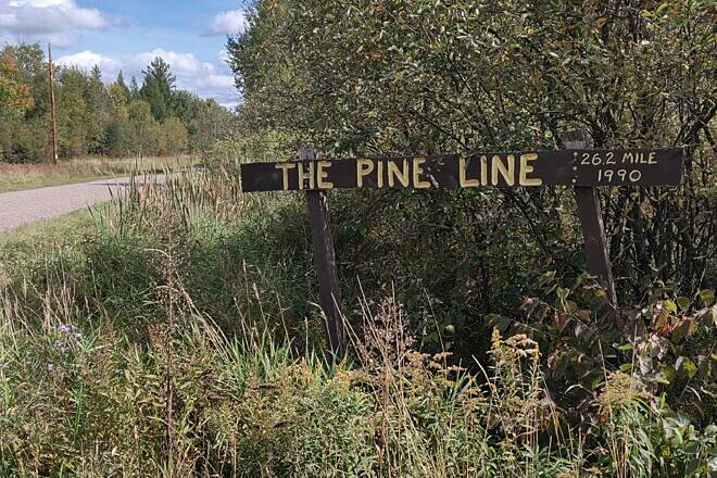
The trail follows a section of the Wisconsin Central Railway, which launched rail service in 1876 between Lake Superior and Chicago. The Soo Line took over until 1985, when the Wisconsin Central Ltd. got the rail bed, but it ceased to use the line in 1988. Price and Taylor Counties then acquired it for use as a trail.
In the mid-1800s, lumberjacks had been somewhat selective in harvesting timber because of difficulties in getting the lumber to market. The arrival of the railroad changed that and ushered in the so-called Cutover period of the late 1800s and early 1900s, when whole forests were reduced to stumps. Immigrants later cleared that land for farms, while conservation methods, begun in the 1930s, created new forests. You’ll see farms and second-growth forests from the trail.
The city of Medford at the trail’s southern end dates from the 1870s. Much of the downtown streetscape, including the 1913 vintage Soo Line railroad depot located between East Broadway Avenue and West State Street, appears much as it did in the early 20th century.
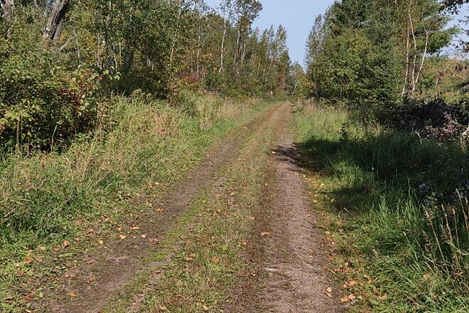
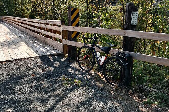
Beginning in Medford, you’ll travel on screened limestone for the first 3 miles; after that it’s crushed gravel. Dairyland farming dominates the landscape as you leave Medford. At 5 miles, you’ll pass through the crossroads community of Whittlesey as the land around the trail alternates between farms, forests, and the Black River wetlands where you may see beavers at work.
Five miles up the trail, you’ll arrive at the Chelsea community, a former railroad stop where the second-growth forest becomes the dominant feature. Another 4 miles and you’re in Westboro, another former whistlestop with cafés. If you take County Road D about 8 miles west, you’ll find camping and hiking in the Mondeaux Hardwoods State Natural Area of the Chequamegon-Nicolet National Forest, where the Civilian Conservation Corps planted trees in the 1930s.
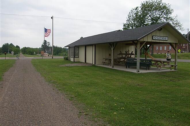
In the 6 miles between Westboro and Ogema, you might notice a slight grade as you head over a glacial moraine. A restored railroad depot provides a welcome rest area in Ogema. If you’re hungry, hit a nearby restaurant for some true Wisconsin fare: fried cheese curds.
The last 5 miles from Ogema is slightly downhill as the trail ends at a parking lot on Morner Road.
The trail in Price and Taylor Counties is open to snowmobiles and ATVs from December through March when the temperature is below 28 degrees. UTVs are allowed on the trails during those conditions only in Price County.
Parking and Trail Access
To reach the southern trailhead in Medford from US 51, take Exit 208 onto westbound SR 64 in Merrill. In 9.3 miles, bear left (south) onto SR 64/SR 107. In 1.9 miles, bear right to continue west on SR 67/SR 107. In 25.2 miles, turn right onto Luepke Way. Go 0.9 mile—Luepke Way becomes Centennial Parkway, and you’ll pass restrooms in Medford City Park—and turn right onto W. Allman St. Go 0.2 mile and look for trailhead parking on the left. Parking also is available on River Drive, just past the trail on your left.
To reach the northern trailhead in Prentice from US 8, exit just west of Prentice on SR 13, heading south. Go 2.7 miles, and turn left onto Morner Road. Go 0.7 mile, and look for parking on your left and the trail across the road on your right.