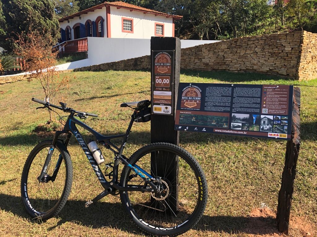
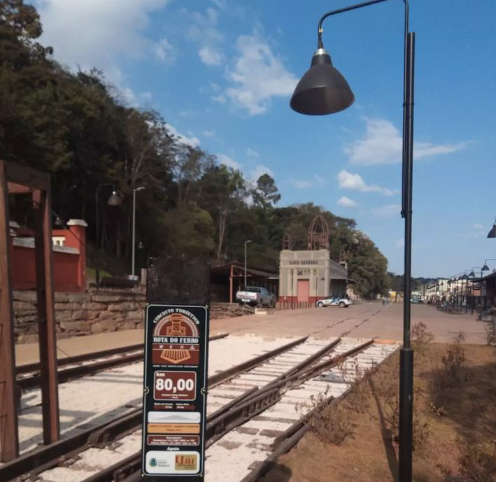
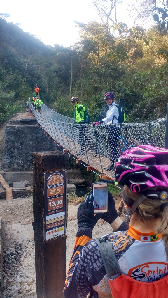
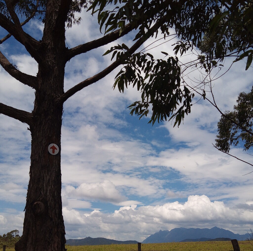
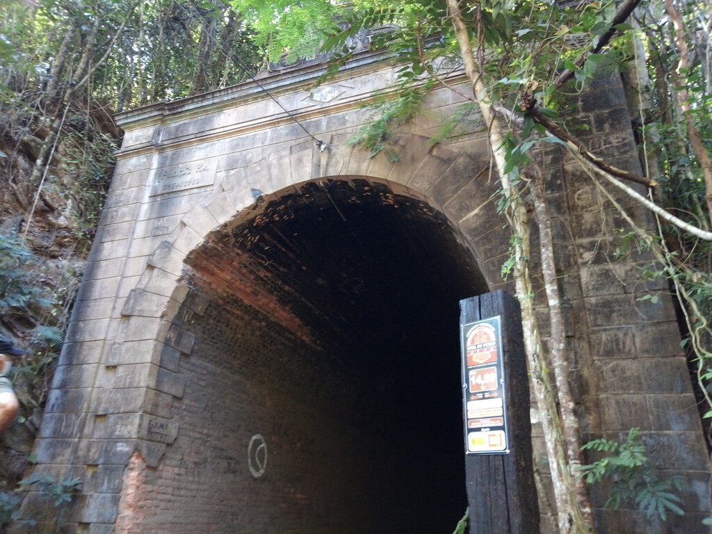
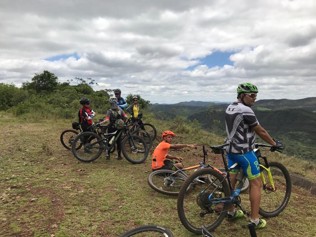
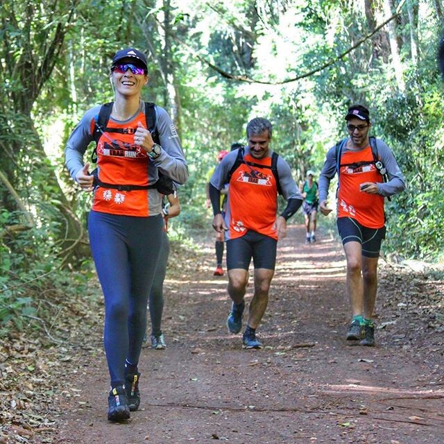
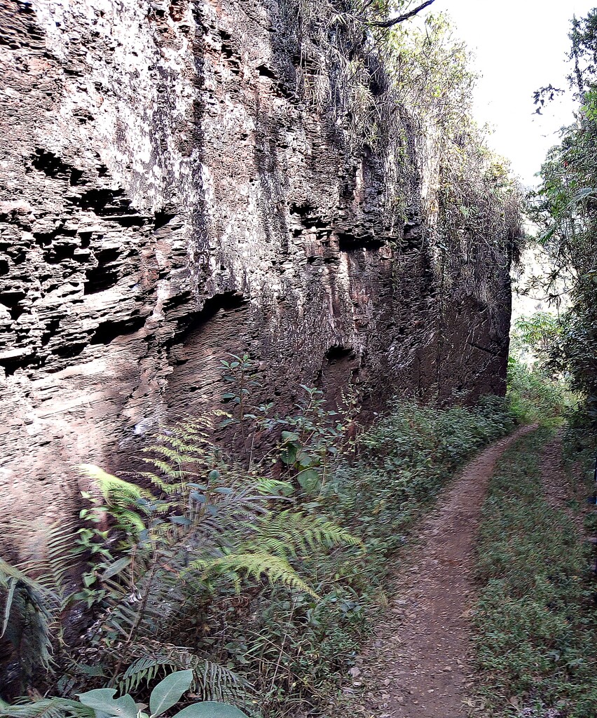
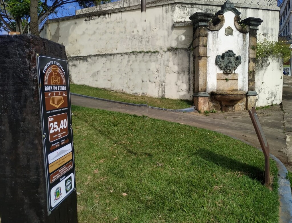
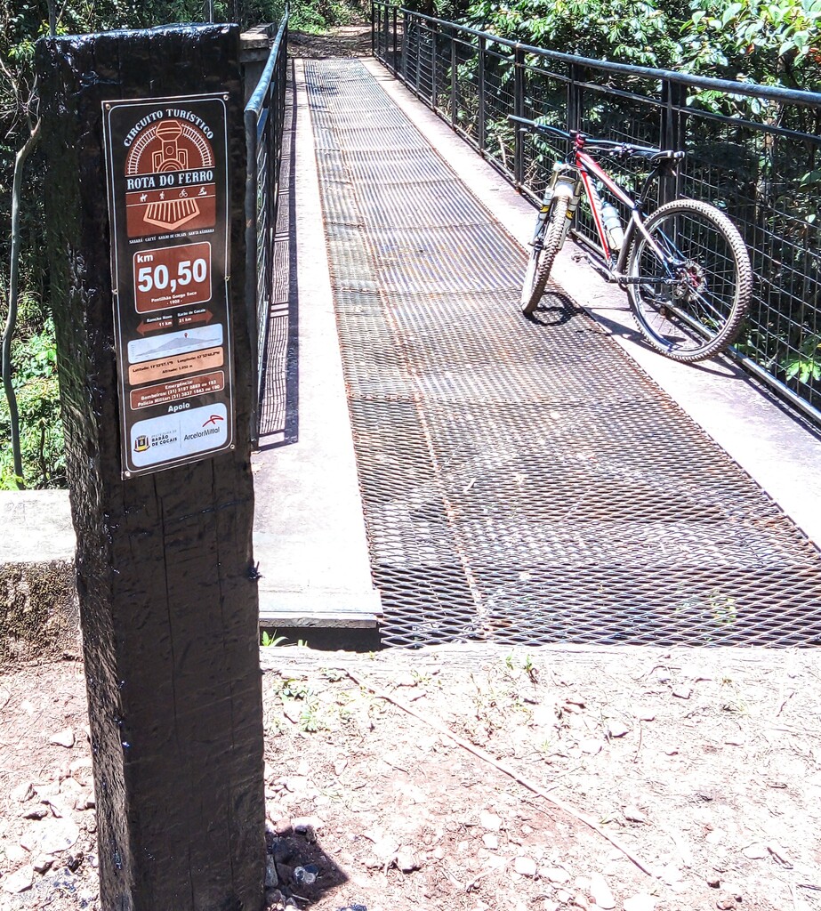
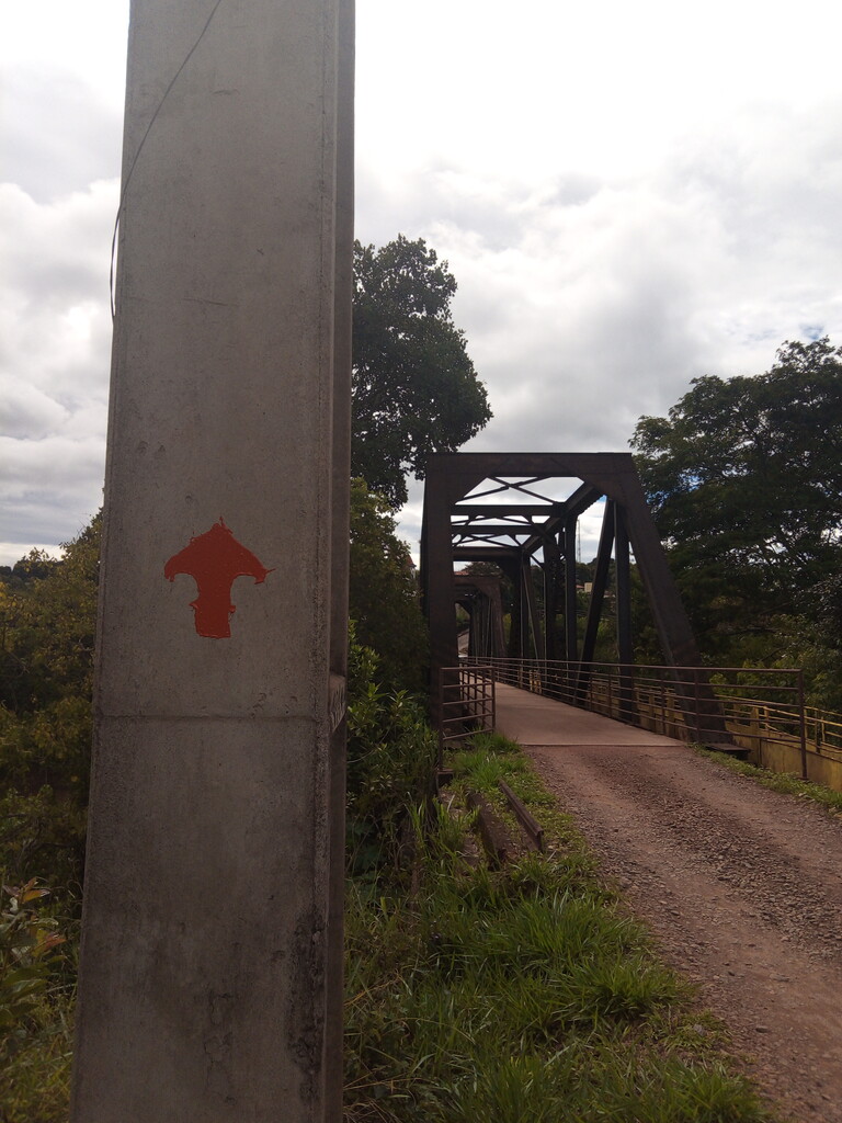
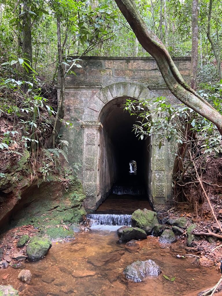
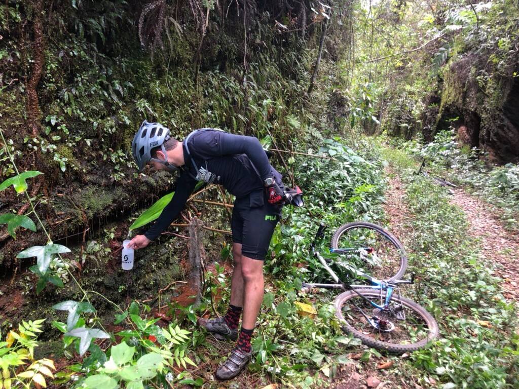
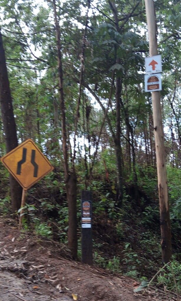
The Tourist Circuit Rota do Ferro is a path that follows the path (official domain strip) of the old and deactivated Estrada de Ferro Sabará a Santa Bárbara (EFSSB - 1895). There are 80 kilometers of beautiful roads and practically flat nature trails, also passing through the beautiful historic centers of the cities of Sabará, Caeté, Barão de Cocais and Santa Bárbara. So is the Rota do Ferro, a sports and tourist circuit that can be covered in its entirety on foot, on horseback or bicycle.
1886 documents cite Cia Estrada de Ferro Espirito Santo a Minas as responsible for the construction of the EFSSB branch line. Other documents speak of a railway contracted by the foreign company Viação Brasil, which from Sabará would reach the iron ore deposits in Itabira.
The purpose of the construction of the branch was to reach the iron ore deposits with Mikado locomotives. It comes from this function, the nickname given by the residents of Ramal do Ferro.
Over the years, control passed to Central do Brasil (EFCB) and later to RFFSA when some sections were deactivated until, in 1996, the use of the old branch was completely stopped.
---------------------
Tourist and sports route that runs along the entire length of the old and deactivated branch of the Sabará to Sta Bárbara Railway - "EFSSB" built in 1895. Also known as "Ramal Nova Era" and named "Ramal do Ferro" by the locals. THE IRON ROUTE is aimed at those who enjoy cycling, horseback riding, trekking, trail running and NON-MOTORIZED sports, aiming, in addition to sports, tourism through the historic cities that are part of the itinerary.
INSTAGRAM: @rotadoferro