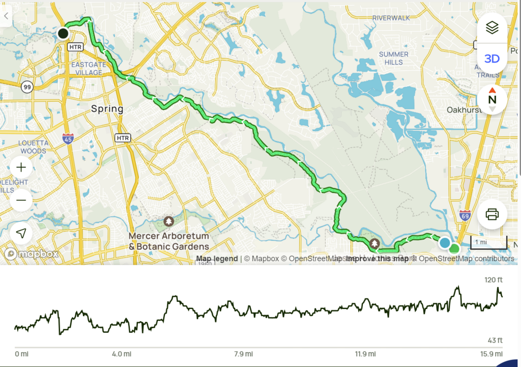
Location
Texas,
US
Distance
15.9 mi
Vertical Gain
360 m
Description
GPS Track
Spring Creek Trail.kmz427 bytes
FKTs
Female
| Kelly Swanson | 4h 21m 45s |
Images
Comments
I had planned to run the out & back this weekend, Jan. 24, 2024, but after three days of fairly constant local precipitation, I did a test run only to find that sections of the trail are flooded. I waded into my thighs, but the water is very dark and who knows what's in there!! So better to wait!
The flooded section is between Carter Park and Jessie Jones. I went to the area from both sides and there is about a mile that is flooded. There is also a section flooded east of Jessie Jones, but there is additional trail on higher elevation that allows you to get around it. Almost 30 miles of the trail are fine, but a mile or two under pretty deep, dark water.
For future attempts, please check the trail or call one of the parks beforehand if there has been local precipitation!
I plan to run this tomorrow afternoon, Friday, February 2, 2024.