The TableTop track is located within the Litchfield National park approx 1.5 hours south from the capital of the Northern Territory, Darwin. The track is accessed by one of several link walks, which act as possible locations/access for support (if needed) as well as points to depart the track if any emergency arises. It is a highly popular ... Read more
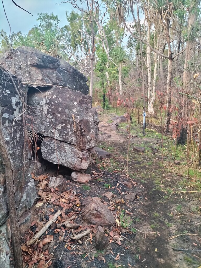
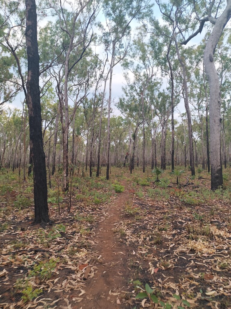
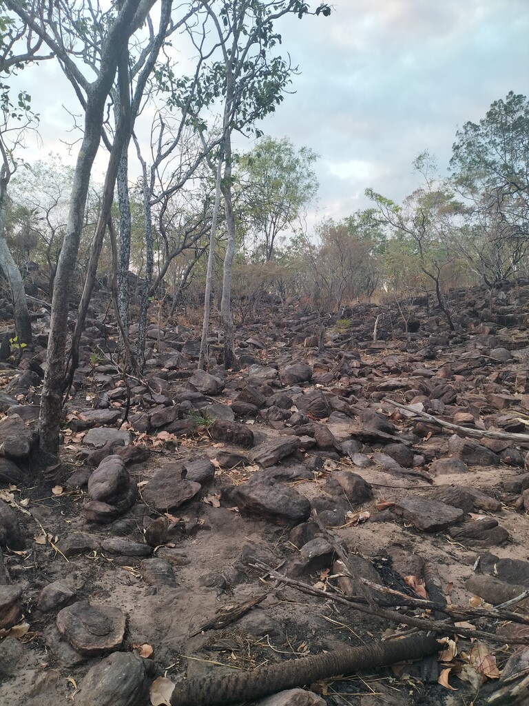
The TableTop track is located within the Litchfield National park approx 1.5 hours south from the capital of the Northern Territory, Darwin. The track is accessed by one of several link walks, which act as possible locations/access for support (if needed) as well as points to depart the track if any emergency arises. It is a highly popular hiking trail to the greater Darwin region, due to the ease of access and the closest multi day route to Darwin. The route can be at times challenging with the varying terrain and at some points the trail seems to be lost in the stones....
To get to the start of the route, you must first walk up the Wangi Falls loop walk to the top of the falls. The start of the route is the begining of the link track. The link track is a perfect warm up being approx 1km of easy running before you take a left onto the TableTop track. Trail markers are located every 100m, however some may be missing. It is highly recommended to carry a Topo Map and Compass (And know how to use them)
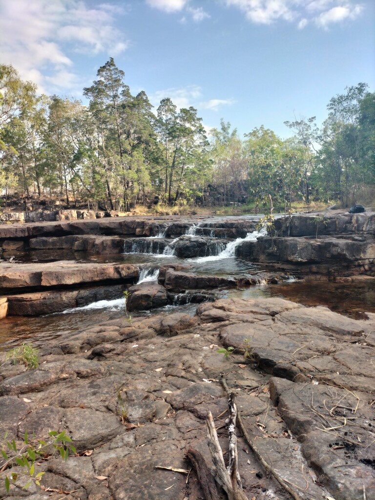
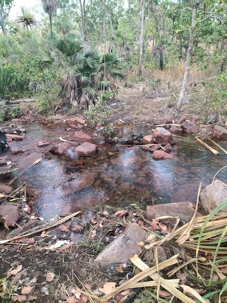
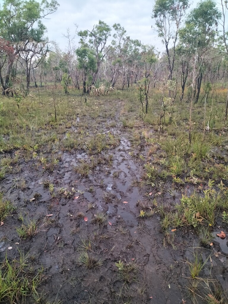
This track is remote and has no mobile reception. Depending of the time of year, you could be running through ankle deep mud one minute and sandy trails the next. Early in the season (Trail only open in the dry, late May-Oct, Check Tabletop Track | NT.GOV.AU to confirm the track is open) there are various creeks along the track to provide water, however water is not guaranteed to be available, it is also recommended to filter before drinking.
A great resource and for a step by step in depth take on the track check out the link below.
Tabletop Track – Hike a Perfect Multi-day Circuit in NT’s Litchfield National Park (weareexplorers.co)
After finishing, you can head back down the steps and relax in the cool waters of Wangi Falls.
Read less