This is a challenge to run from the lowest point in Vermont (Lake Champlain 95’) to the highest point (Mt Mansfield 4,393’). The athlete can start anywhere (on public property) along the shore of Lake Champlain and take any route to reach the summit. The most efficient route is likely around 24 miles with 4700’ of gain.
Lake Champlain is the ninth ... Read more
This is a challenge to run from the lowest point in Vermont (Lake Champlain 95’) to the highest point (Mt Mansfield 4,393’). The athlete can start anywhere (on public property) along the shore of Lake Champlain and take any route to reach the summit. The most efficient route is likely around 24 miles with 4700’ of gain.
Lake Champlain is the ninth largest freshwater lake in the United States at 435 square miles. For a brief period in 1998 the US government officially considered Lake Champlain to be one of the Great Lakes (now just five). It forms a link in the international waterway between New York City and the St. Lawrence River.
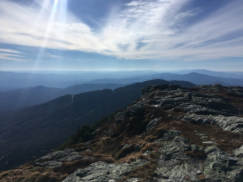
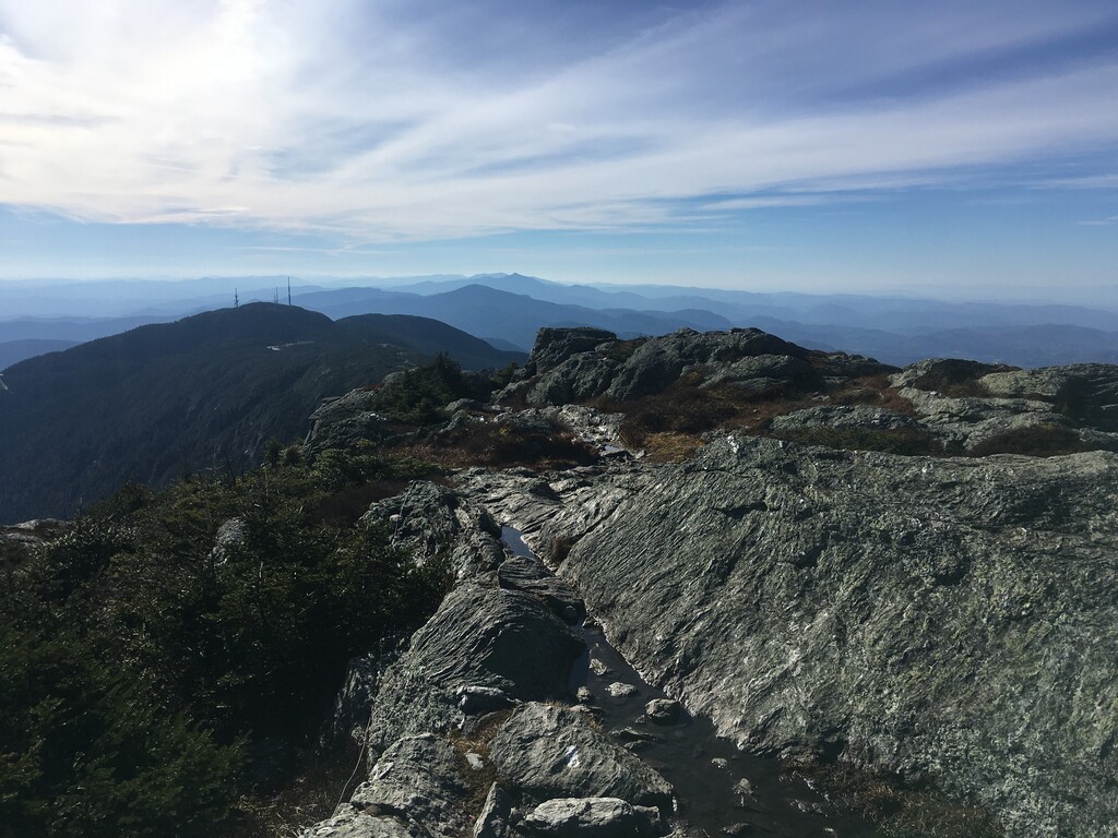
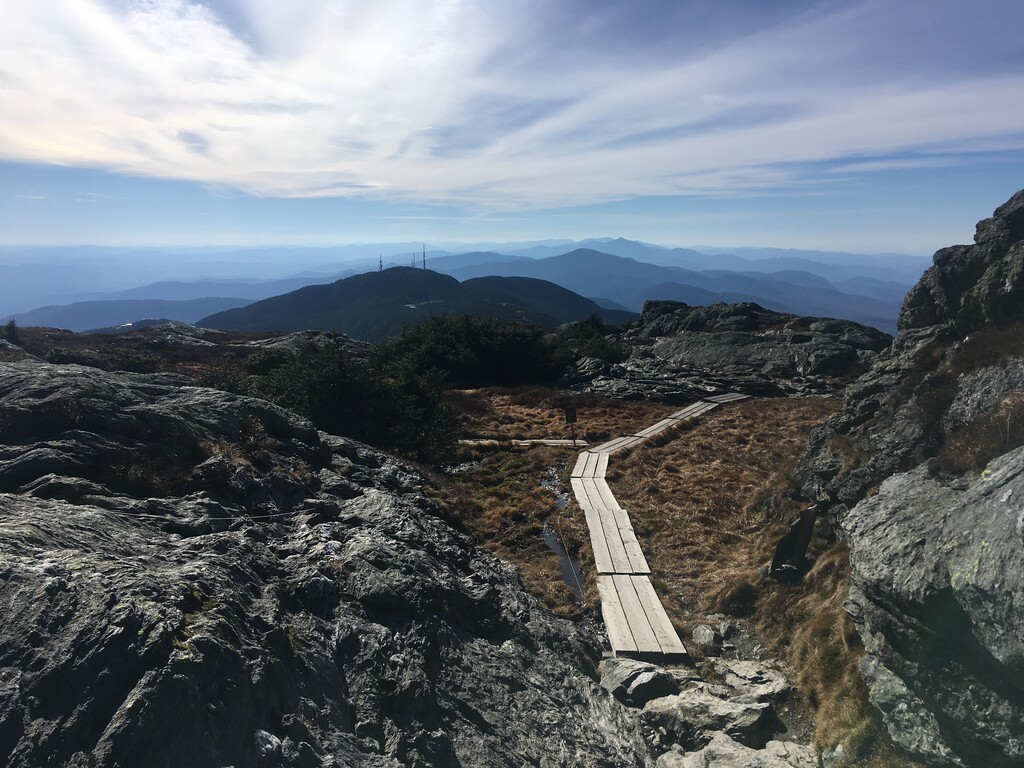
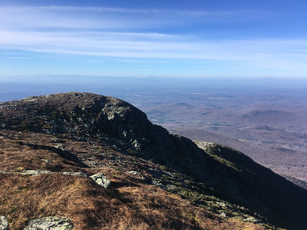
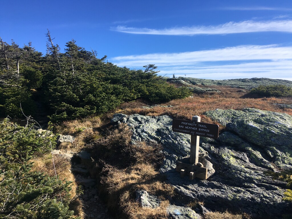
Mt Mansfield provides amazing views in all directions. It is the most visited mountain in Vermont and the high point of the Long Trail. The area around the summit contains most of Vermont’s mere 275 remaining acres of alpine tundra zone. This ecosystem is incredibly fragile and home to plants that only grow in this tiny area. Charles Johnson’s book Nature of Vermont, says that “almost all the plants (in Vermont’s alpine tundra) are either threatened with extinction or else extremely rare.” The path above tree line is marked on both sides with white string. Please stay on trail and avoid even stepping on plants that are within the string. Any run will likely take you through Underhill State Park, which requires a $5 entrance fee (even if you run/hike in). There is a seasonal drinking fountain here. The trails on Mansfield appear to close for a brief time in the spring melt. These trails can be quite treacherous when wet or muddy. Weather above tree line can be extreme, even if it’s pleasant by Lake Champlain. Be prepared and check the forecast before you attempt this.
Lake Champlain website
Mt Mansfield SummitPost
Read less 
Comments
I'm planning to try this tomorrow (supported), love the concept!