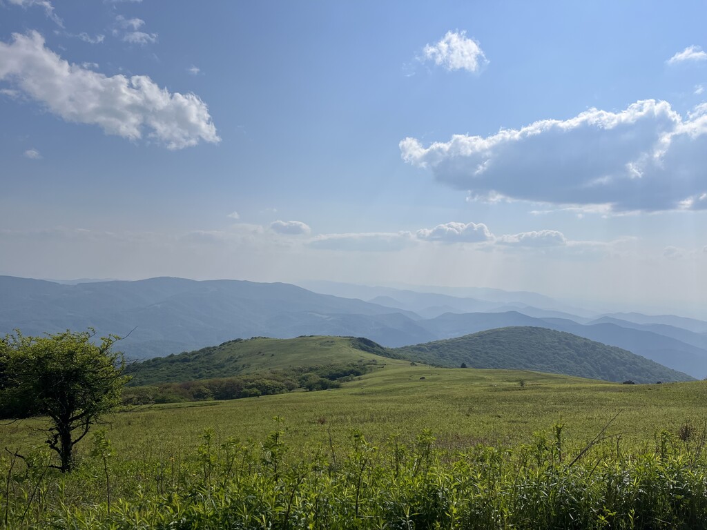
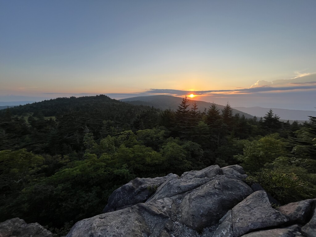
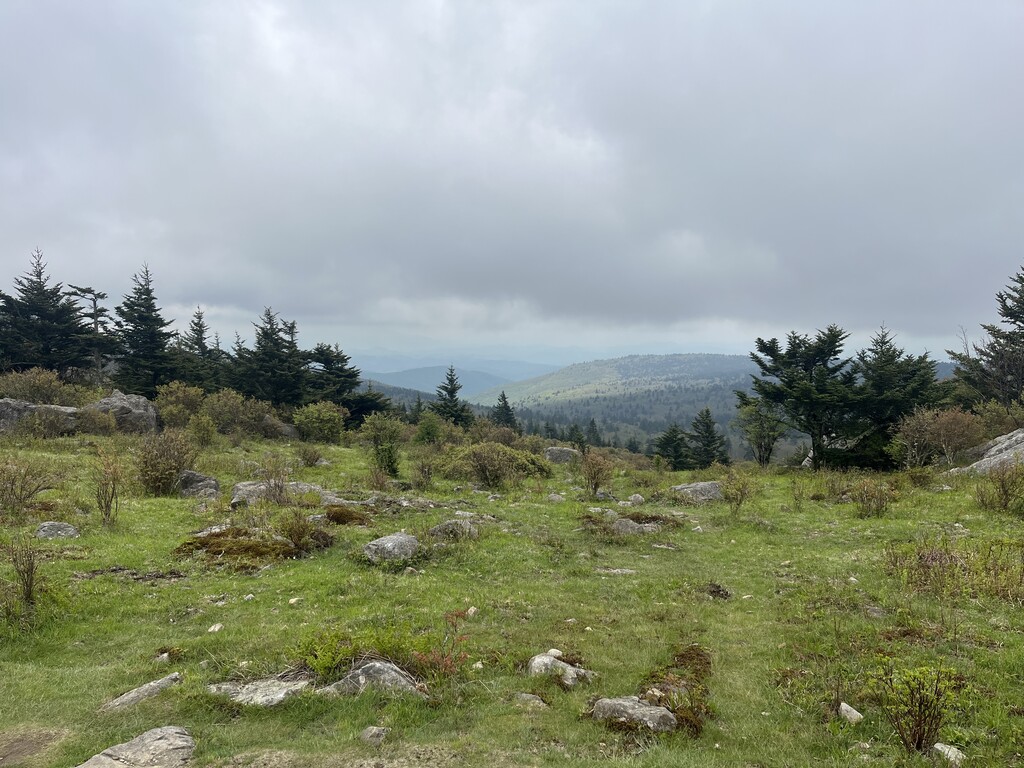
This route is a link up of every peak over 5,000ft in the state of Virginia. The majority of the route is along one of the most famous and scenic sections of the Appalachian Trail. Summiting all of these peaks has been well known among locals and hikers as a challenge, however there is not an established route to connect all of these into one seamless route. After discussing this route with several area runners and hikers, we’ve agreed that this is the most efficient, scenic, easy to navigate, and physically challenging route that connects and summits all of the peaks that have been established in previous challenges. This route will create the opportunity for runners to see the beauty of this area, compete with others, increase visitation and tourism in Smyth and Grayson Counties, and will disperse use across multiple areas of the Mount Rogers National Recreation Area.
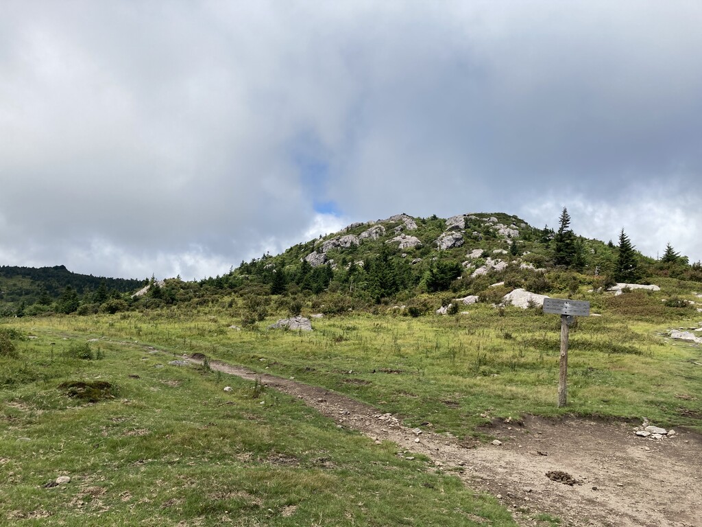
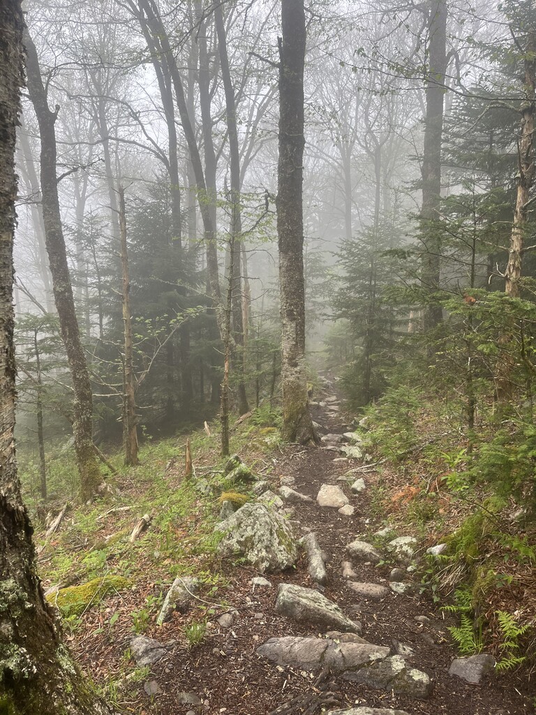
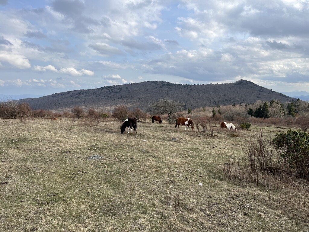
The route begins at the Appalachian Trail parking pull off on Beech Mountain Road (36.6372615, -81.6403977) The route travels Northbound on the Appalachian Trail for several miles until the trail opens up to expansive views along the bald. The first 5,000ft peak you summit will be here at Buzzard Rock (5,095ft). You will then briefly leave the AT and follow the well established road bed to the top of Whitetop Mountain (5,525ft). The summit here is not as obvious as the others on this route, as a weather station has been built on top of the mountain, simply touching the chain link fence around the weather station suffices as a summit. From here you will travel down the gravel road through various switchbacks until you rejoin the Appalachian Trail at the Whitetop parking area (36.6318478, -81.6017598). You will travel on the Appalachian trail for quite a while, descending from Whitetop Mountain to the pass at Elk Garden, then continuing on towards Mount Rogers. When you reach the intersection of the Appalachian Trail and the Mount Rogers Spur Trail, you will travel north towards the summit of Mount Rogers on the spur trail. Continue till you reach the state high point marker placed in the top of the prominent boulder at the end of the spur trail, this is the summit of Mount Rogers (5,729ft). You will then retrace your steps on the Mount Rogers Spur until you rejoin the Appalachian Trail. You will then continue on the Appalachian trail till you reach a small spur trail on your left at (36.6559550, -81.5211018). This brief trail leads you to the summit of Pine Mountain (5,525ft). Retrace your steps back to the AT and travel until the Intersection of the Wilburn Ridge Trail, you will follow this trail for it’s entirety, summiting Wilburn Ridge along the way, until it rejoins the Appalachian Trail. You will then follow the trail toward Massie Gap, using the Highlands Horse Trail to reach the parking area. From here, travel up the Big Pinnacle Trail, summiting Haw Orchard Mountain (5,007ft) along the way. The trail ends when you reach and touch the visitor center at the end of the Big Pinnacle Trail.
https://visitswva.org/five-over-5000southwest-virginias-mountains-rise-above-the-rest/